Circular Trail via Ja-benken
Surnadal
This scenic circular trail involves some short ascents and can be tackled by most people.
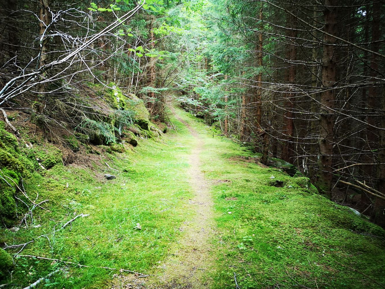
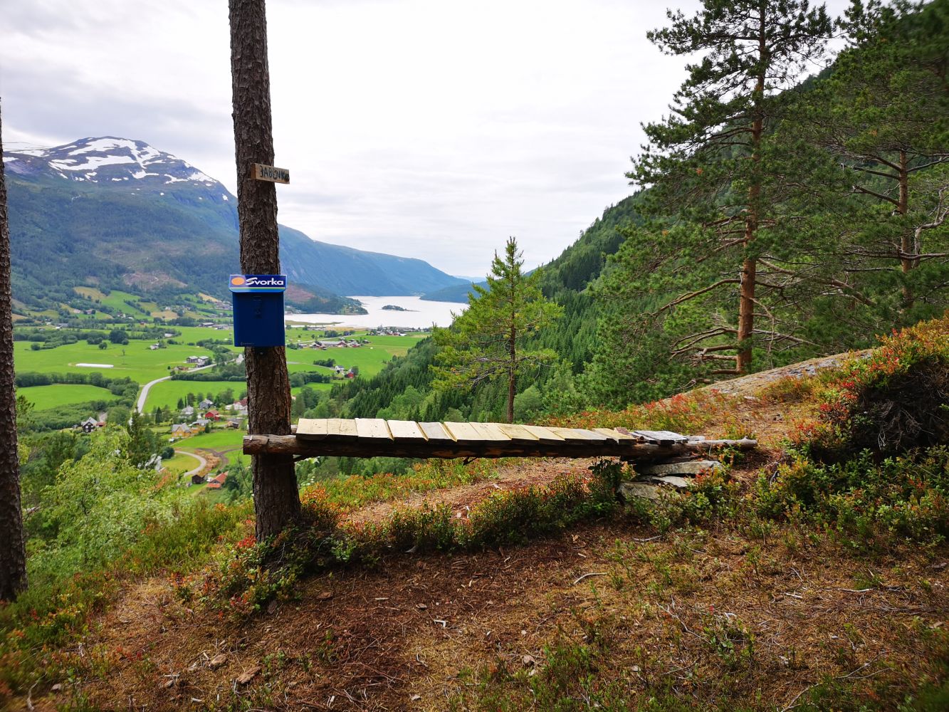
Walk eastwards from the car park along the road in the direction of the Husby farms. Turn left and walk up towards the farms. Then turn left again onto a forest road next to the first farm. Continue following that road until you reach a pumping station. This is where a path begins. The path is not clearly defined at the moment because of logging in the area. You will see a stone with some red text on it wishing you a nice day. Follow this path all the way up to the destination point called Ja-benken. The path is marked with small ribbons that show you the way. On your way back from the bench, follow another path that takes you down towards the residential area and over Holbrekkå (Flathaugan). Continue walking back to the starting point of the Toåa Hiking Trail.
Alternatively, you can walk past the Husby farms first facing the residential area below Flathaugan Hill. In that case, take the forest road on your left-hand side just after you pass the first brown house in the residential area. Turn left onto the path once you reach the flat area. Follow that path to Ja-benken.
Drive from Matkroken in Todalen in the direction of Kårvatn. A couple of hundred metres after passing Todalen Church, you will see the car park for the Toåa Hiking Trail on your right-hand side.
Duration
1 t. 5 min

Sesong
Spring, Summer, Autumn
Signage
No signage or markings
A postbox with a trail journal set up by the Todalen Sports Association.
 Driving directions
 Route data
GeoJSON
Route data
GeoJSON