The Industrial route to Midsund centre
Molde
The route to Midsund centre from Sandneset camping offers a good impression of the main industry of Midsund, located at the edge of the sea. You will paddle past the fish reception and processing facility and fish farm, as well as some nice beaches and bays. In Midsund centre, you can buy yourself an ice cream before heading back the same way.
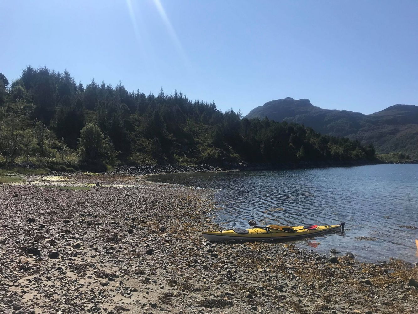
The route begins in a calm, sheltered area on a shallow sandbank in the inner part of Ugelvika bay, which makes it easy to launch and pull up a kayak. You can also launch your kayak by the floating dock in the boat harbour. The route leads from Ugelvika along the shoreline near Notaholmen. From here, set course towards Krabbevikneset, Galsteneset and Digerneset. This part of the route will expose you to potential currents form the southern part of the Kvaløysundet sound. Even though the route leads along the shoreline, and the islands of Bjørnøya and Kvaløya will partly shield you from wind and waves, it is important to be aware of conditions coming in from the open sea. Wind and ocean currents can quickly change according to the weather. Once you pass Digerneset, you can paddle into the lovely area of Selvika. Here there are plenty of opportunities for going ashore, taking a lunchbreak or having a swim. The route continues to Torveneset, and here you should stay within the sheltered waters of Storflua. After this, the route continues past Breivika, and by Stuttneset, you will finally see the final goal of the route – Midsund centre. There are several places to go ashore here, but if you want to go all the way into the city centre (and perhaps buy an ice cream?), the floating dock in the boat harbour is the best option. Return along the same route.
Other boat traffic must be expected as both industrial and leisure boats pass through here.
Park at the Ugelvika harbour. Here you will have to carry your kayak down to the sandy beach by the bay, before the parking area in the harbour. Be aware that the water is shallow quite far out, and if you launch or return during low tide, you may have to carry your kayak back to the original site. It is also possible to launch from the docks in the harbour.
Duration
2 t. 40 min.

Sesong
Spring, Summer, Autumn
This is a route that requires the ability to understand and read weather and sea conditions. Currents from the open sea may potentially enter the sound, and it is important to be observant. Watch out for boat traffic in the area.
Sea map, 34, Romsdalsfjord
 Driving directions
 Route data
GeoJSON
Route data
GeoJSON