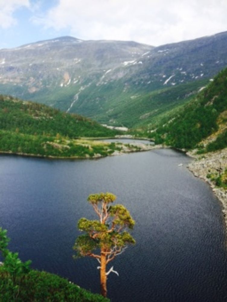
Illstigvatnet in Storkaldhusdalen
Fjord
This is a nice walk through gentle terrain. This idyllic trail will take you through various types of terrain, including pine forest, a river with small waterfalls and quiet pools, and several lakes.
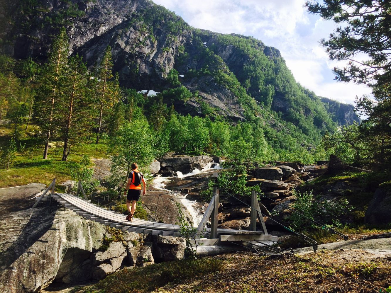
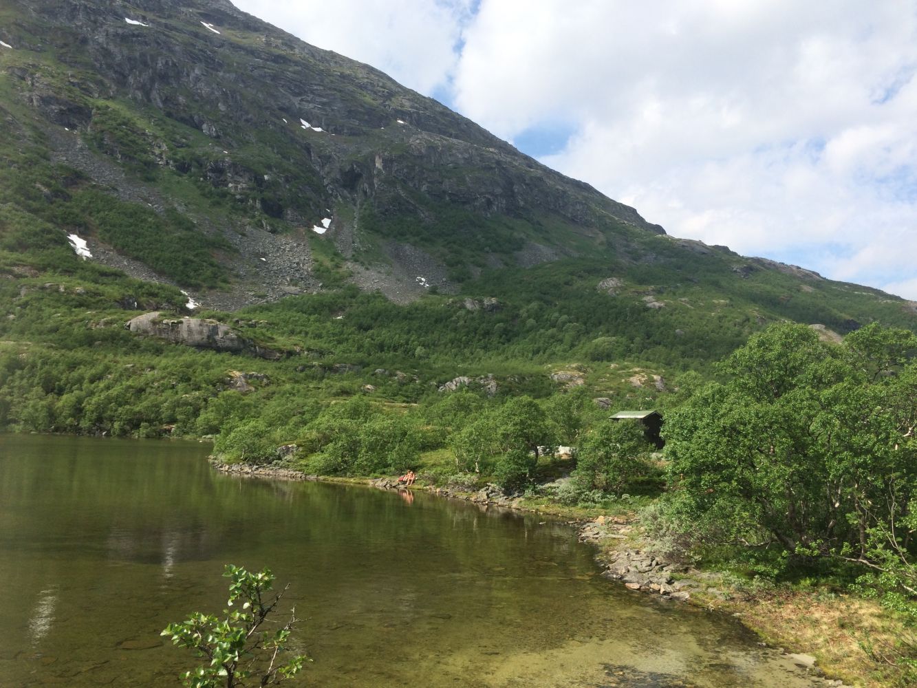
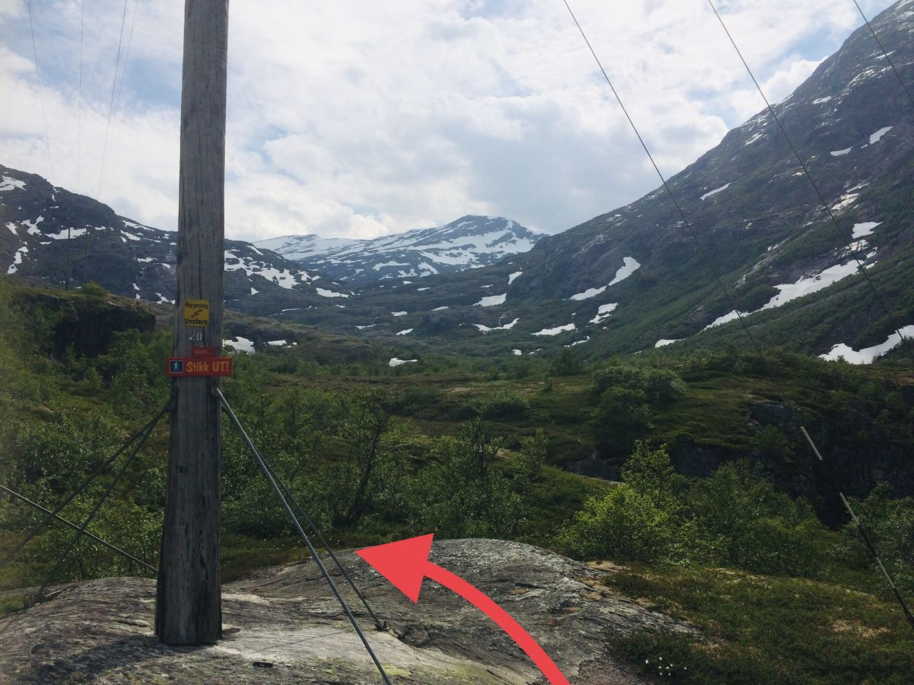
The first part of the trail goes along the lake (about 1 km). There are some marshy areas at the end of the lake where it can be a bit wet. Some of the wet sections are laid out with logs to step on. As you approach the river, there will be larger areas of sparse forest. Follow the path as it continues over the bridge and straight ahead along the right side of the river. You will walk through nice and gentle terrain with pine and other types of forest. The path goes along the river which is incredibly beautiful. You will see small “waterfalls” with pools of still water in between. Further along the path, you will come to an area with several small lakes. Walk over the hanging bridge to cross the river again. This bridge is longer than the previous one. The path goes up a little slope right after the bridge. Other than that, the path is flat all the way to Lake Illstigvatnet.Once you come closer to the lake, turn right from the main path and walk down to the lake. You will find a trail postbox attached to a small cabin. The cabin belongs to the Tafjord Kraft Hunting and Fishing Association. The path continues further towards Slettdalen and Viavatnet. This trail is maintained by the Norwegian Trekking Association (DNT). It is marked with red “T” letters both towards Geiranger and further into Mount Tafjordfjella.This is an easy trail through open terrain. It took us 60–90 minutes to complete it with a normal walking speed. The trail involves an ascent of about 100 altitude metres from the starting point to Lake Illstigvatnet at 692 m a.s.l.
Start driving from Valldal through the Fjørå Tunnel. Continue for 12 km in the direction of Tafjord. It is about 10 km from Tafjord up towards Kaldhussætra. Follow the signage. Continue driving until you reach the end of the road by Lake Fremste Kaldhussætervatnet. Park your car next to the Tafjord Kraft power station. Make sure that your car does not block the traffic to and from the power station.
Use the car park at the end of the road by Lake Fremste Kaldhussætervatnet, near the entrance to the Tafjord Kraft power station. Free parking.
Duration
1 t. 55 min.

| Surface type |
Distance |
| Sti |
3 |
Norddal tourist map 1:50 000, Tafjordfjella 1:50 000
 Driving directions
 Route data
GeoJSON
Route data
GeoJSON