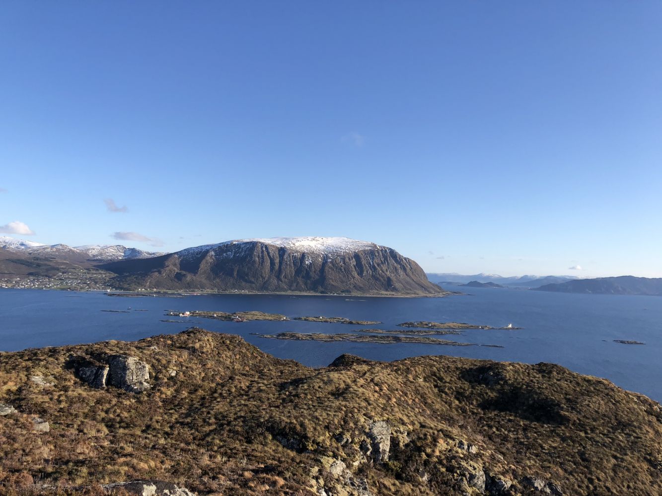
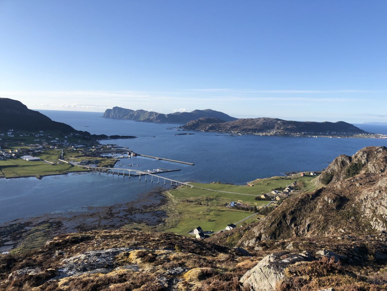
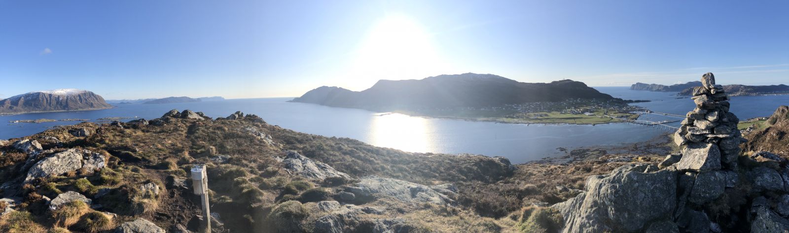
The circular trail to Igesundvarden is a nice hiking opportunity not far from the town. You will get a great view of Fosnavåg and most of Herøy Municipality. Igesundvarden at 189 m a.s.l. is the westernmost peak on Bergsøya Island.
Route description
The trail starts from Øvre Myklebust. Begin by walking west through the residential area, then follow a temporary road. Continue along a path that will take you through some marshy areas where the surface can be a little wet. Once you come up to Lake Vikevatnet, the path splits in two following both sides of the lake. If you turn right, you will end up on Igesundhetta, and if you turn left, you will come to Igesundvarden. It is up to you which circular route to choose. The trail continues around the lakes Vikevatnet and Storevatnet. The path is well defined and marked at intersections.
Access and parking
Drive along FV654 towards Fosnavåg, turn off the road by the Spar store in Myklebust, and park your car there. Follow Øvre Myklebust Road until you reach a temporary road. Take the path that is marked with a StikkUT! Sign and follow it up to Igesundvarden.