Norsk

The Hundsnes Cairns

Vanylven

The trail at a glance

This trail is suitable for both a workout and a quick mountain walk. It follows a forest road/mountain road. There are picnic areas with seats and tables every one-third of the trail. From the two cairns, you will get a view over Vanylvsfjorden and several villages along the fjord. The Hundsnes Cairns are a great starting point for other hikes further over the mountain plateaus.

Route description

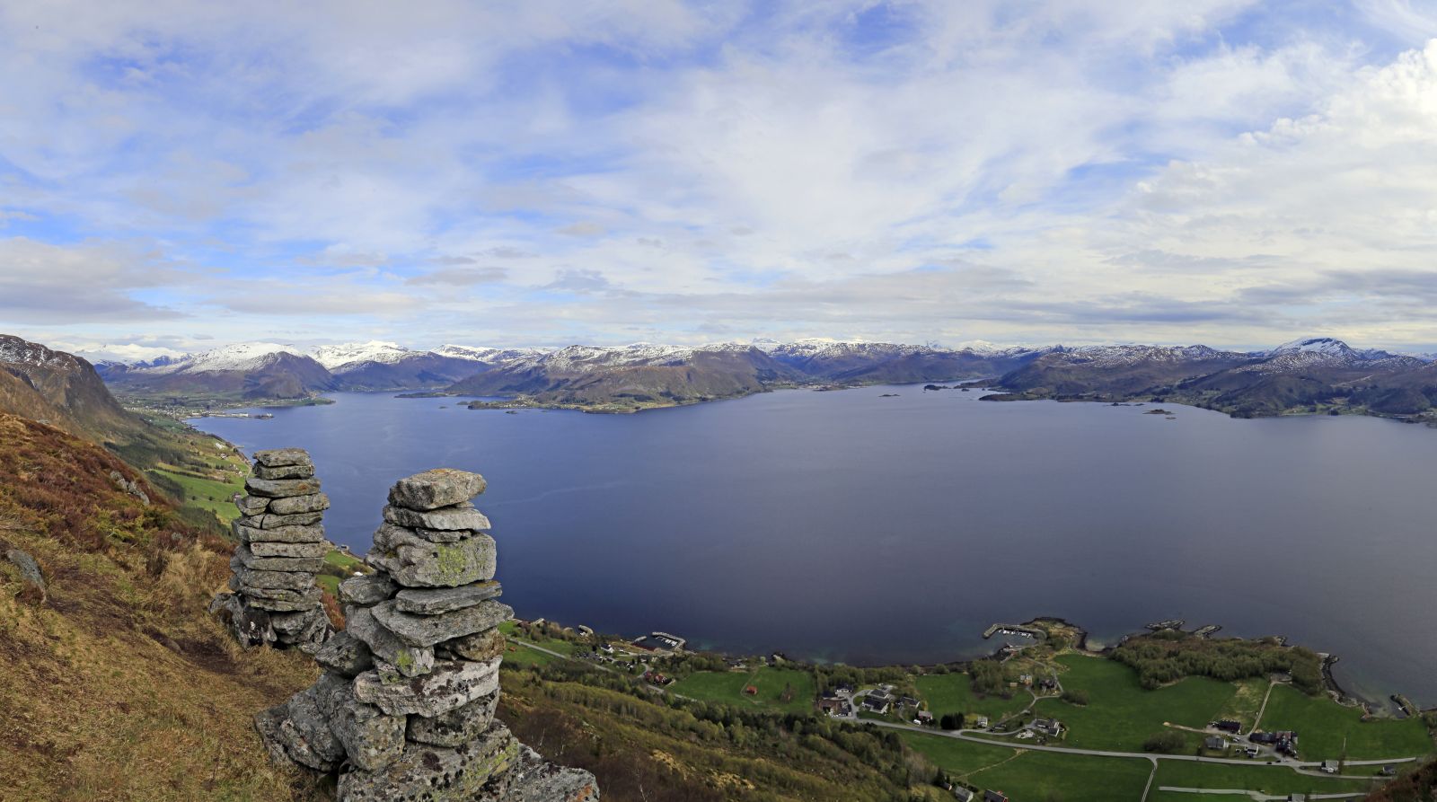
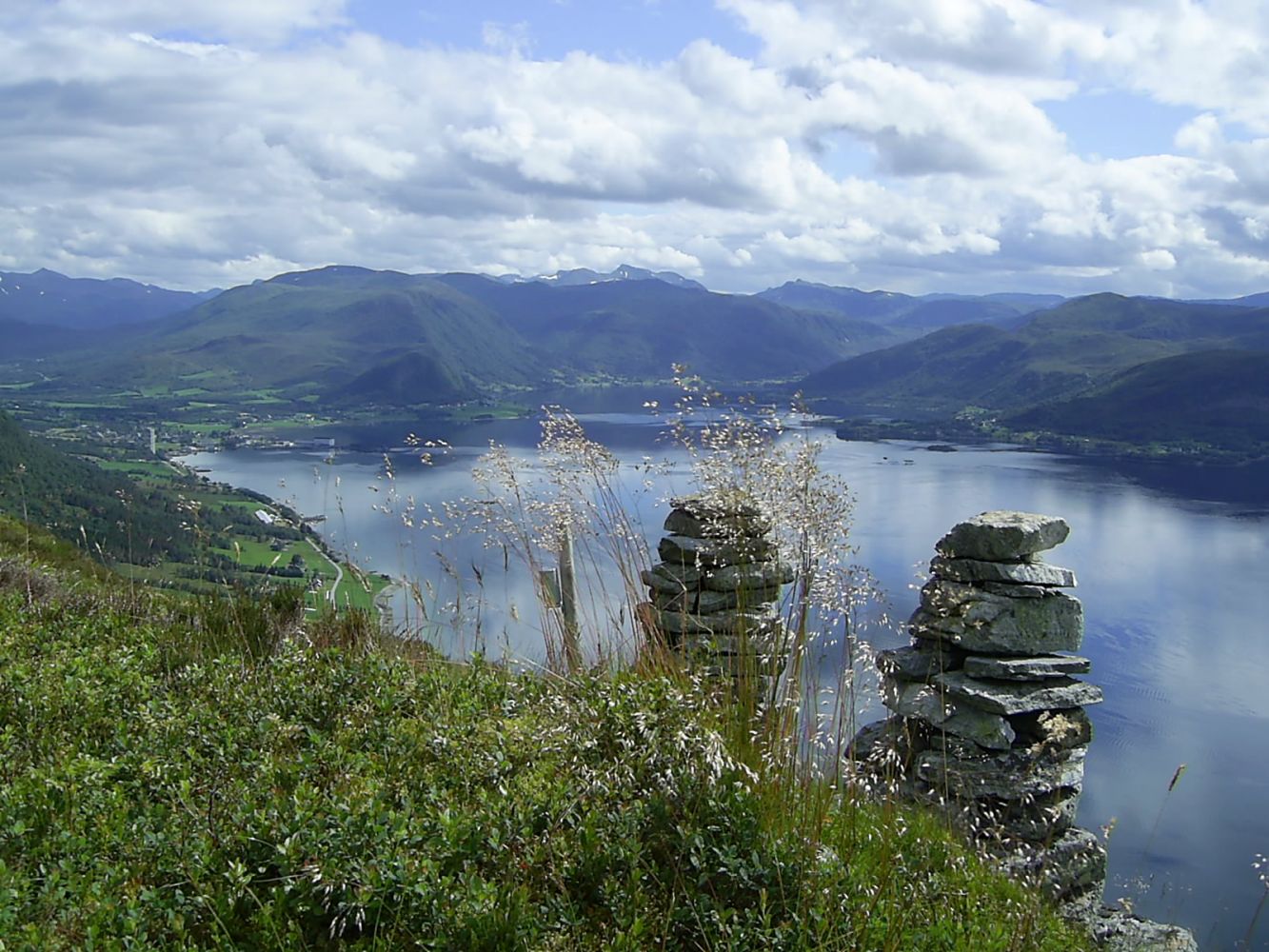
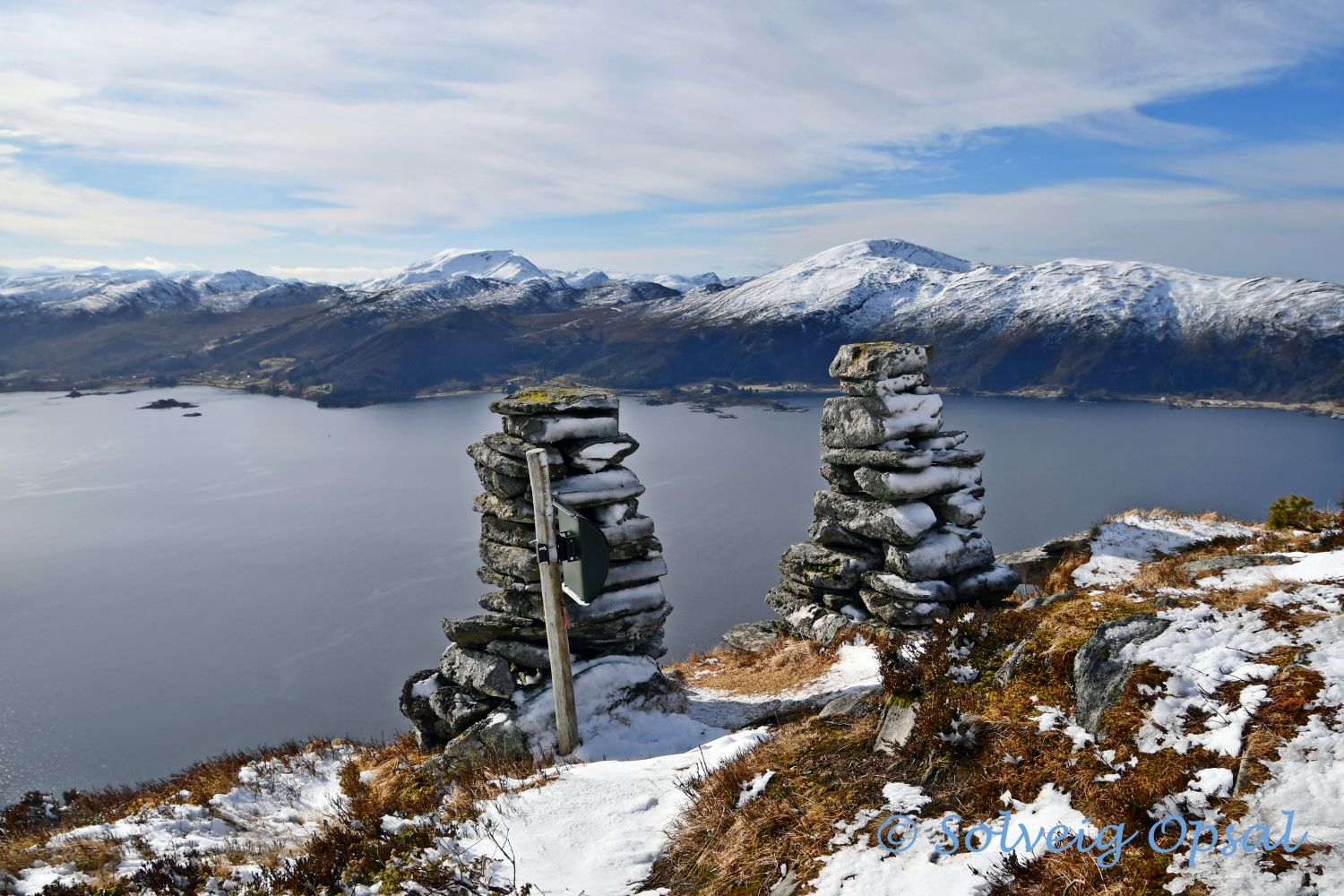
The starting point lies 6 km west of Fiskå. You can park your car at the stacking area for timber and follow the sign that marks the beginning of the route. About halfway through the hike, the road you follow splits in two. Turn left here. When you reach the plateau near the two cairns, turn off the road and walk the final metres along the path. Once you have reached the plateau, it can be temptinh to continue hiking further into the mountain area. The Hundsnes Cairns are a great starting point for several other hikes, such as Trollevasshornet https://morotur.tibe.no/tur/Trollevasshornet and the long and gentle trail to the Brandal Dam https://morotur.tibe.no/tur/Hundsnes-Brandalsdemningen

Access and parking

The trail starts at the stacking area for timber with plenty of parking space.
Hiking route
Blue
Distance
2,25 km one way
Elevation
381 m
Duration
2 t. 10 min.
Sesong
Spring, Summer, Autumn
Highest Point
408 masl
Signage
Both signed and marked

Map route

Surface type Distance
Grus 4,5

Map

På tur i Vanylven (Eng. Hiking in Vanylven) – can be purchased at local shops and petrol stations.
Driving directions

API endpoints

Route data GeoJSON