Homborset – Homborsetsætra – Rotevatnet
Volda
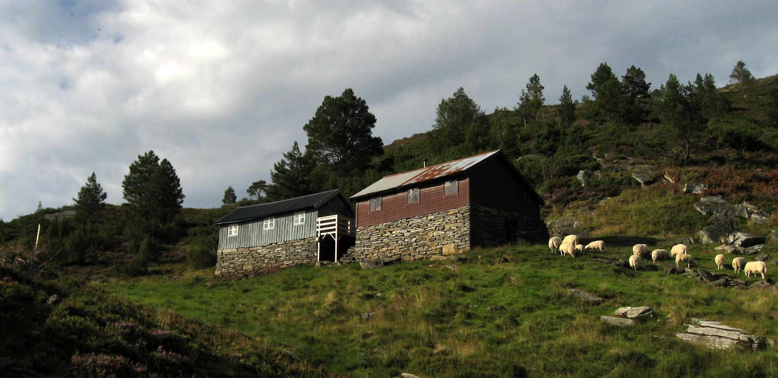
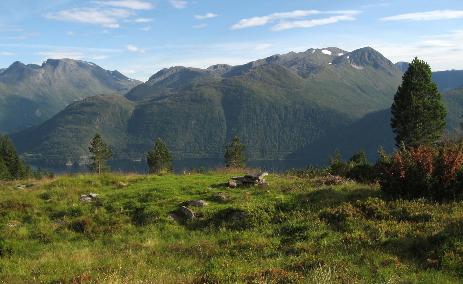
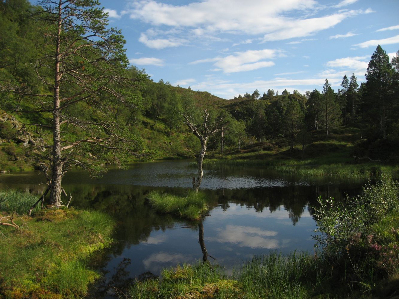
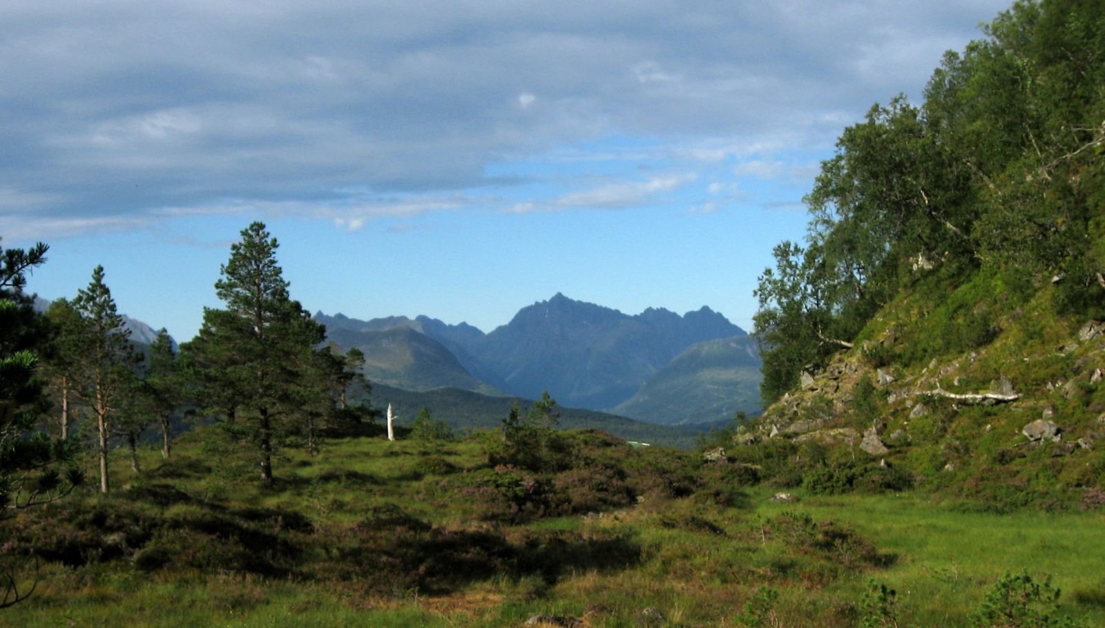
This is a scenic and diverse mountain pass near Volda. The trail follows a good-quality path that is partially paved with stones up to the mountain farm Homborsetsetra. The farm offers a unique view and an amazing rest area. The path from there to Lake Rotevatnet runs through a peaceful pine forest. You will walk past an idyllic pond called Daletjørna. The trail ends in the eastern end of Lake Rotevatnet.
Start by walking from the gate at the upper side of the road between the Rotsethorn Tunnel and the Hjartåberg Tunnel. You will first walk onto the new “goat path”. Follow it as it turns right, and you will soon reach the main path. Large parts of the path are paved with stones and well waymarked with red sticks attached to the trees. Once you reach Homborsetsetra, make sure to write your name in the trail journal near the farm building and take a rest on the plain in front of the building. The view here is amazing! From that farm, follow the path further west. There is a short steep climb before you come down to a path that will take you to Lake Rotevatnet. When you see an old sign for Rotsethornet and Homborsetsetra on a tree, follow the path north (turn right) along Daletjørna. Here, the path is also marked with red sticks in the trees. Enjoy walking through this beautiful and peaceful area through an amazing pine forest, along the idyllic pond, and without being disturbed by anything but the sounds of nature. The path further to Lake Rotevatnet is clearly defined and later changes to an old forest road. Follow this road all the way down to the lake. You can choose for yourself how you want to return. If you walk from Lake Rotevatnet to Homborset, follow the old forest road until you reach a new sign for Homborsetsetra.
Drive along E39 from the centre of Volda towards Hornindal/Stryn. Take the exit road to Hjartåbygda just before the Hjartåberg Tunnel and park your car right after that exit road near a technical building and a bus stop.
From the car park, cross E39 and walk through the gate. Remember to close the gate because the goats come here when it is time for milking.
Duration
3 t. 30 min.

Sesong
Spring, Summer, Autumn
| Surface type |
Distance |
| Sti |
4,9 |
There is an occasional bus service in the area.
Please go to
https://frammr.no/ to check the Volda – Stryn routes.
Sunnmørsalpane. Local hiking map of Volda covers a section of the hike.
 Driving directions
 Route data
GeoJSON
Route data
GeoJSON