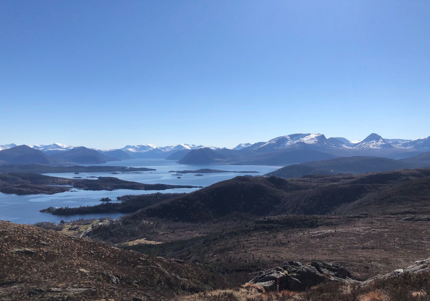
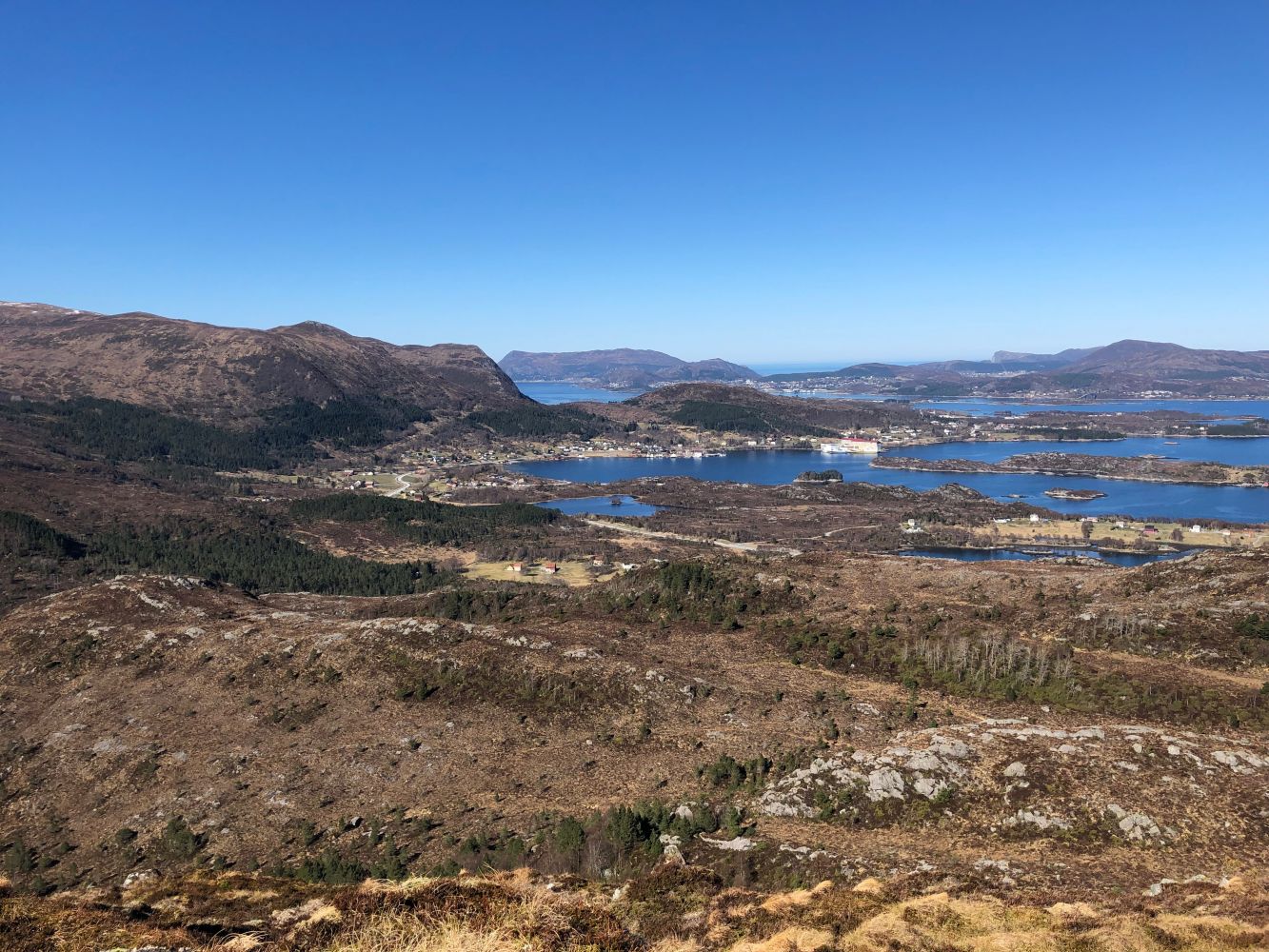
Before you pass the tree line and get a fantastic view, you will walk through the forest that is full of old pines and various deciduous trees. A number of hiking trails run through the area all leading up to the hilltop at 271 m a.s.l.
Route description
The route is marked with a number that you will see on the information board at the starting point.
Route 5: Djupvikvatnet – Huldrehornet. Two marked routes to Huldrehornet begin west of Lake Djupvikvatnet. This is the northernmost of the two routes, and it starts about 350 metres south of the car park. Follow the gravel road until you see the information board at the starting point and the sign for Huldrehornet.
This is the most popular route to Huldrehornet. The path through the forest is clearly defined. Some sections may be a little wet after rain. Once you are above the tree line, follow the narrow ridge up to the peak.
You can also extend your hike by taking one of the circular routes. From Huldrehornet, a marked path will take you further to Rjåhornet, 598 m a.s.l. Some people claim that Huldrehornet is in fact the lower rocky outcrop just east of the peak, but this description is in accordance with the Norwegian Mapping Authority which considers Huldrehornet to be the highest point. The peak is also known by the name Nipa in Djupvika, and it used to be called Djupvikehorn in the old days. The southwestern side of the mountain has a lot to offer for those who enjoy a challenging climb. Other than that, the mountain is easily accessible for the majority of people.
The route is marked with signs and sticks with reflectors. You will find a trail journal at the peak.
Access and parking
Route 5: Djupvikvatnet – Huldrehornet
Follow FV654. From Fosnavåg, take the second exit road to the right after the Aurvåg Tunnel, Myrvågvegen. Follow FV654 from Hareid and turn left at the first exit after Kiwi/Pekas on Myrvågvegen Road. You will find plenty of parking space there.