Hovdenakken from Hovden
Hareid
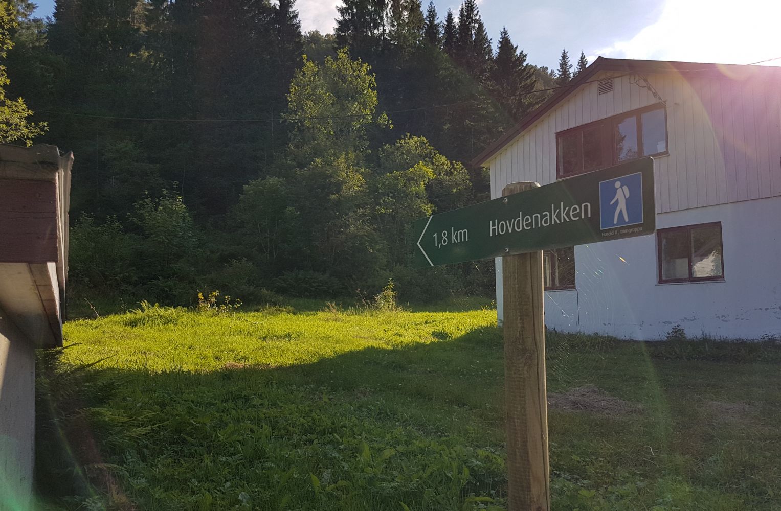
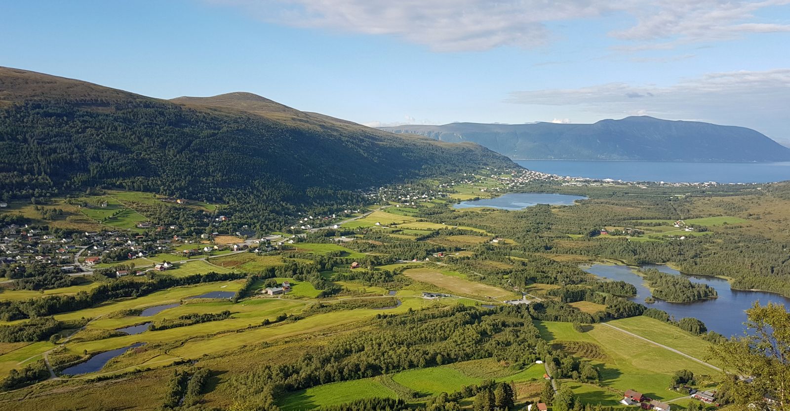
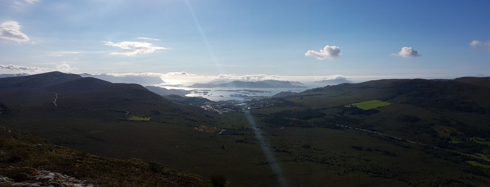
A steeper climb to Hovdenakken and a less common route than the one starting from the opposite site, by Halsen. Great view when you reach the top.
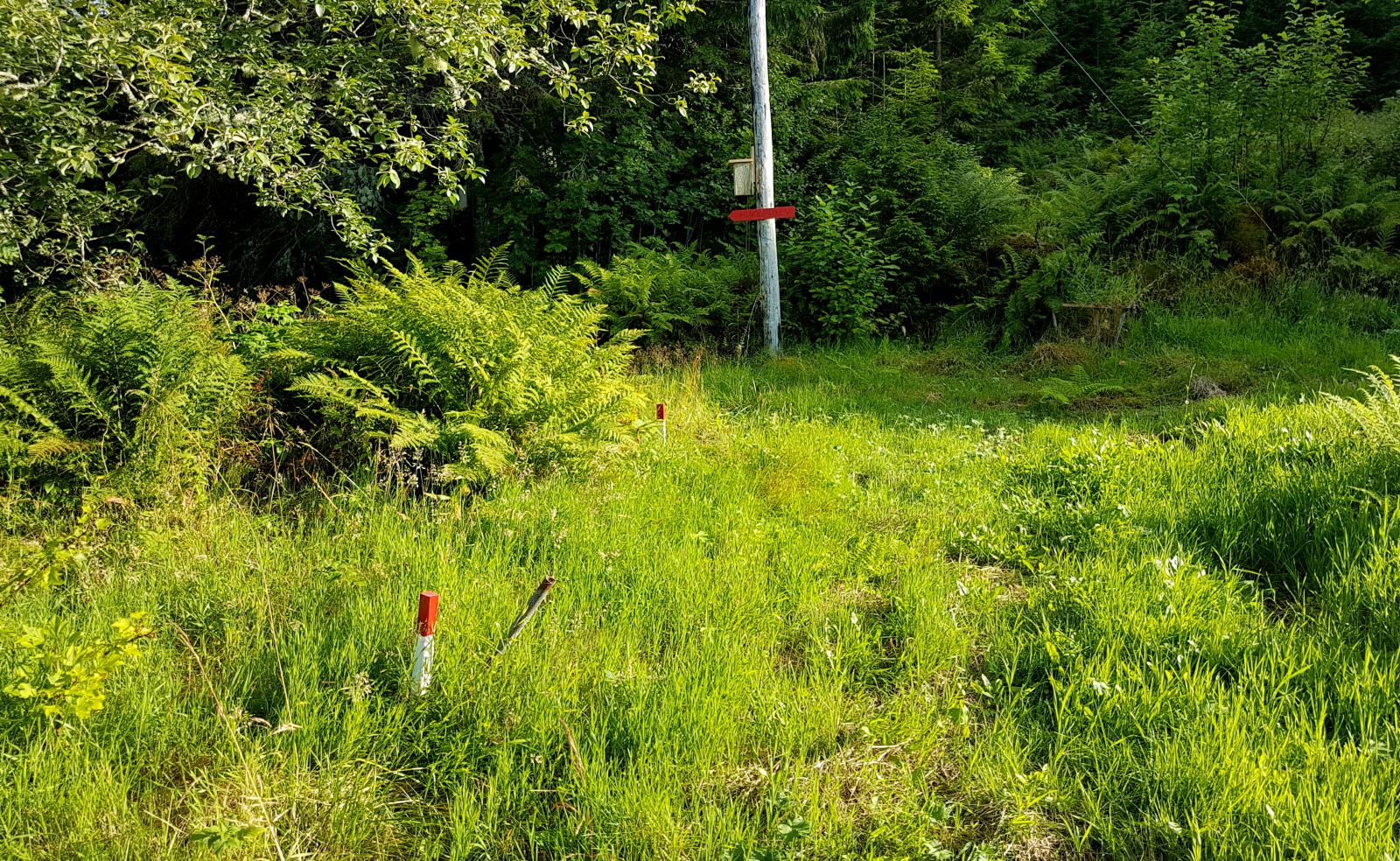
Start from the field in Hovden by Snipsøyrdalvegen. You will see a sign to Hovdenakken. The trail leads first through the woods and then continues along the ridge towards the top of Hovdenakken. The trail is not entirely evident everywhere, but it is well-marked, so it is easy to find your way.
Drive along County Road 41 about 3.5 km from the Hareid ferry port, then turn onto Snipsøyrdalvegen. After about 800 m, turn right and continue about 600 m until you reach the area with the trailhead.
There is plenty of room for parking, but make sure to ask the residents in the area if it is okay to park here.
Distance
3,5 km both ways
Duration
1 t. 55 min.

| Surface type |
Distance |
| Sti |
3,5 |
It is possible to walk or bike from County Road 41
 Driving directions
 Route data
GeoJSON
Route data
GeoJSON