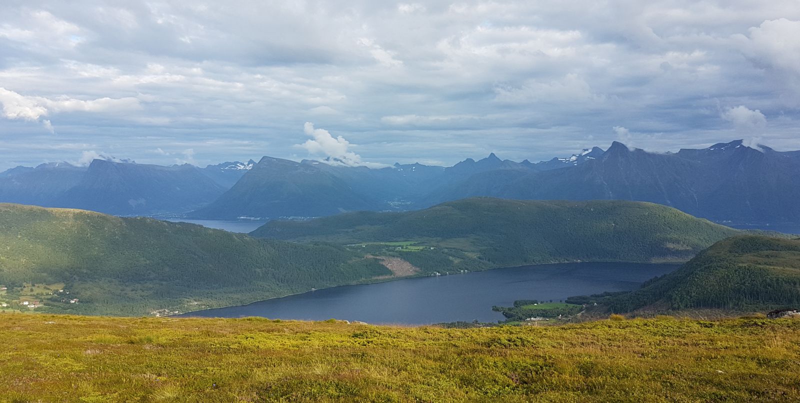
Great hiking trail, suitable for everyone, especially for families with kids or as a quick solo jog. The route leads through an open landscape along a good trail, and with scenic views.
Route description
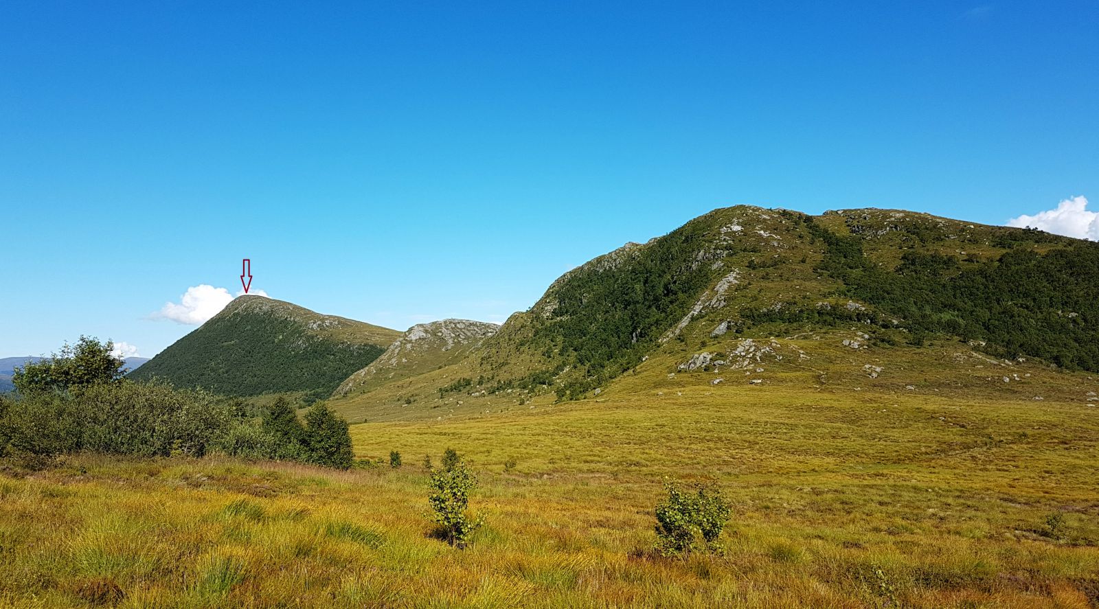
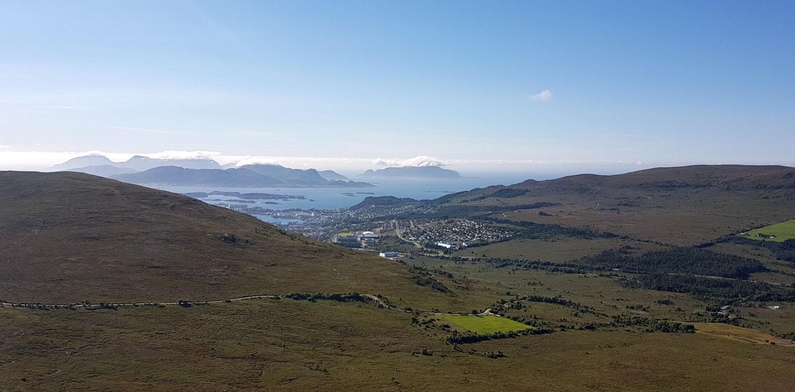
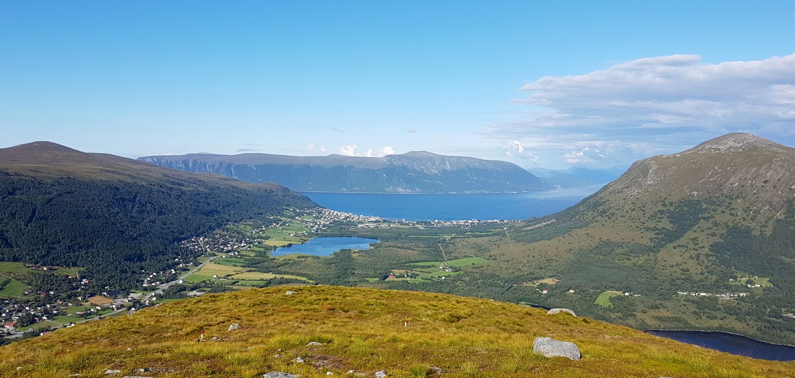
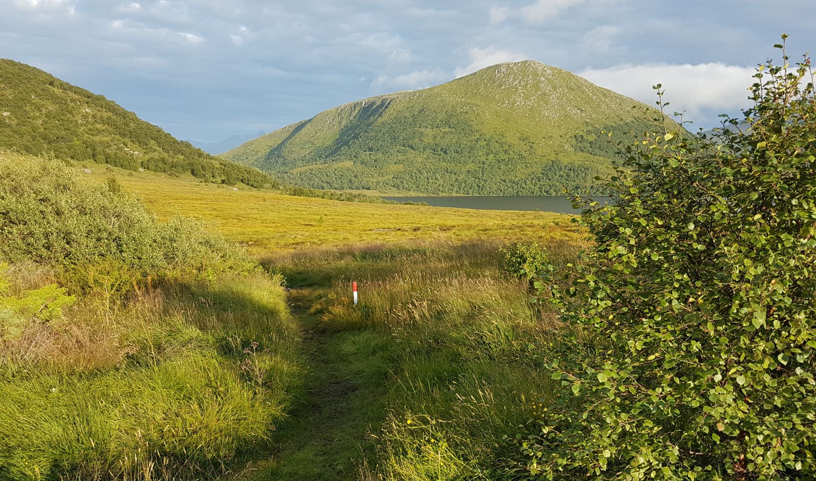
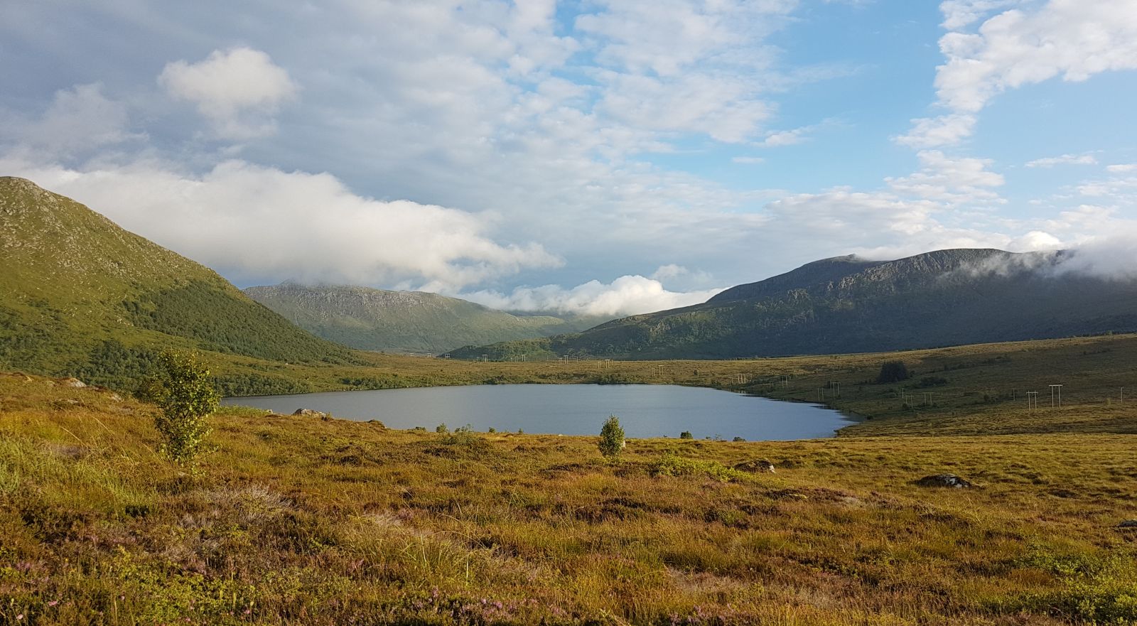
Start the route by the parking area of Hammarstøylsvatnet Lake. The trail is clearly established the entire way and partially marked. On the other side of the road, the trail leads to Hasundhornet, another popular hiking destination. Follow the trail over Ramnefjell and onward to Hovdenakken. From the top, the trail is marked eastward and down towards Hovden. The trail offers a good transition. The descent to Hovden is steeper than the route from Fjelle. The link "Sunnmøres små og store fjellturar - Hovdenakken" [Sunnmøre's short and long mountain hikes - Hovdenakken] shows a different route. This starts near a cultivated field a little closer to Hareidseidet. It is a somewhat shorter and wetter route, but still a good hiking choice.
Access and parking
Between Hareid and Ulsteinvik (National Road 61), the road turns in a southern direction at Hareidseidet in the Ringstaddalen valley. Continue up a slightly winding road, about 3 km. There is plenty of room in the parking area by the trailhead.