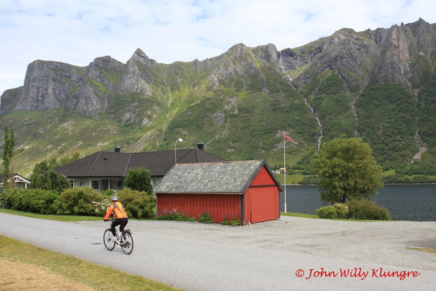
This route is in many ways a journey through Western Norway in miniature. The cycling trail covers an old cultural landscape where the vegetation has been formed through hundreds of years of coastal farming. As you cycle along Hakkalestranda south of the Åram ferry terminal, you will enjoy a beautiful view of the Stadtlandet Stadtlandet and the archipelago, with the ocean in the background. Further south, a scenic fjord stretches along Nordstranda as you move in the direction of Fiskå. On your way from Fiskå, you can enjoy a wide and open agricultural landscape before Eidså. The section north from Eidså follows the Syvdefjord. Here, you will get to see the alpine landscape of Breiteig on the other side of the fjord. The fjord becomes wider as you move west from Koparneset towards Brandal and Åram, and you will get a wide view of both the Sunnmørsalpane mountain range and the ocean.
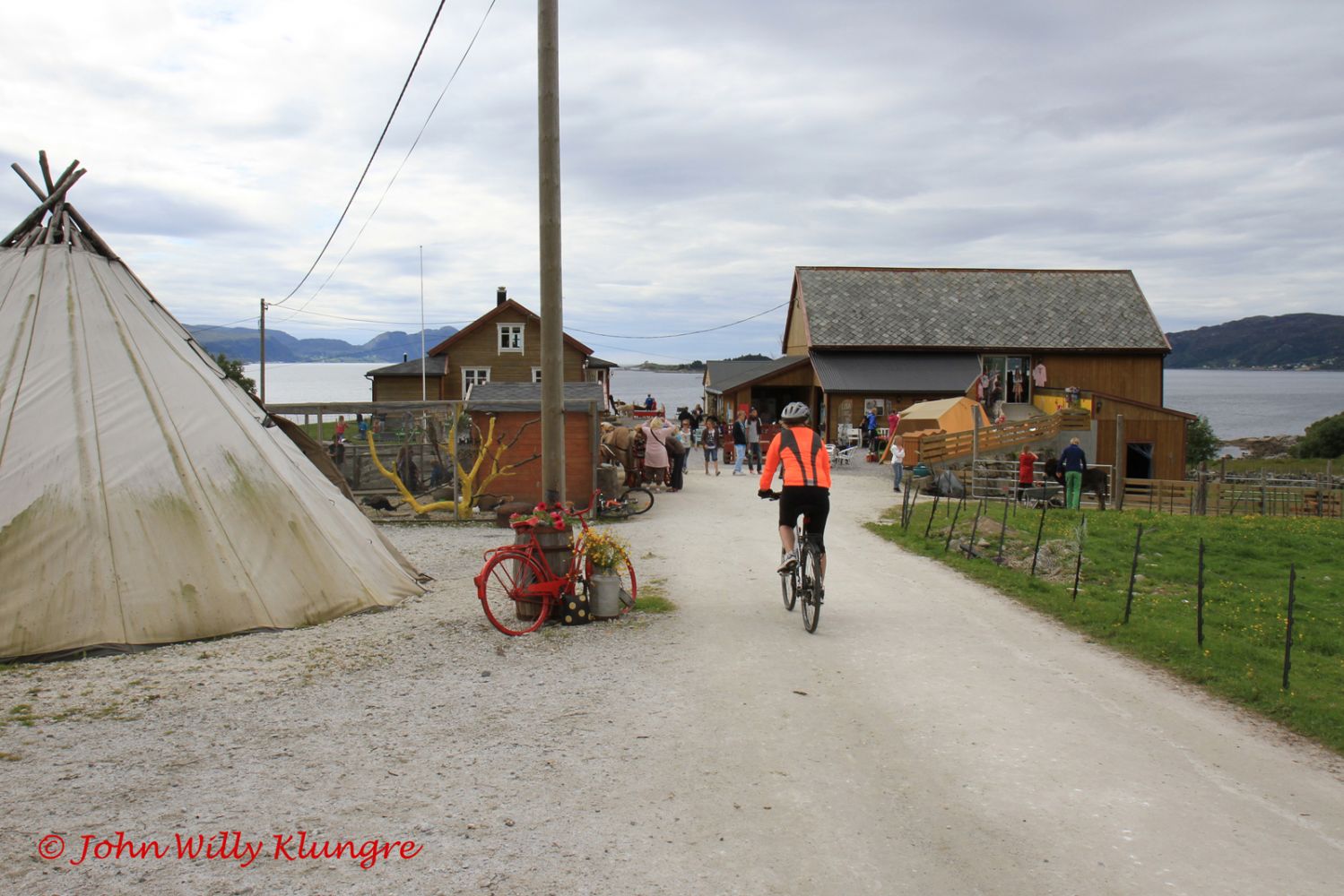
For those who want to take it slow, there are numerous picnic areas along the route, making for comfortable pit stops. In Brandal, there is a prepared rest area with a fjord view by the power plant. It is located down by the sea, right next to the road. In Leitebakkane about 1 km south of Eidså, there is a picnic area with a panoramic view of the mountains of Breiteig. If you enjoy wilderness, you may consider stopping by the area of smooth rock near the Åram ferry terminal or in Flugevågen, which lies about halfway between Åram and Fiskå. You can also swim at the beautiful beach in Sandvika just below Sandvikgarden, which is open on most weekends.
http://www.sandvikgarden.no