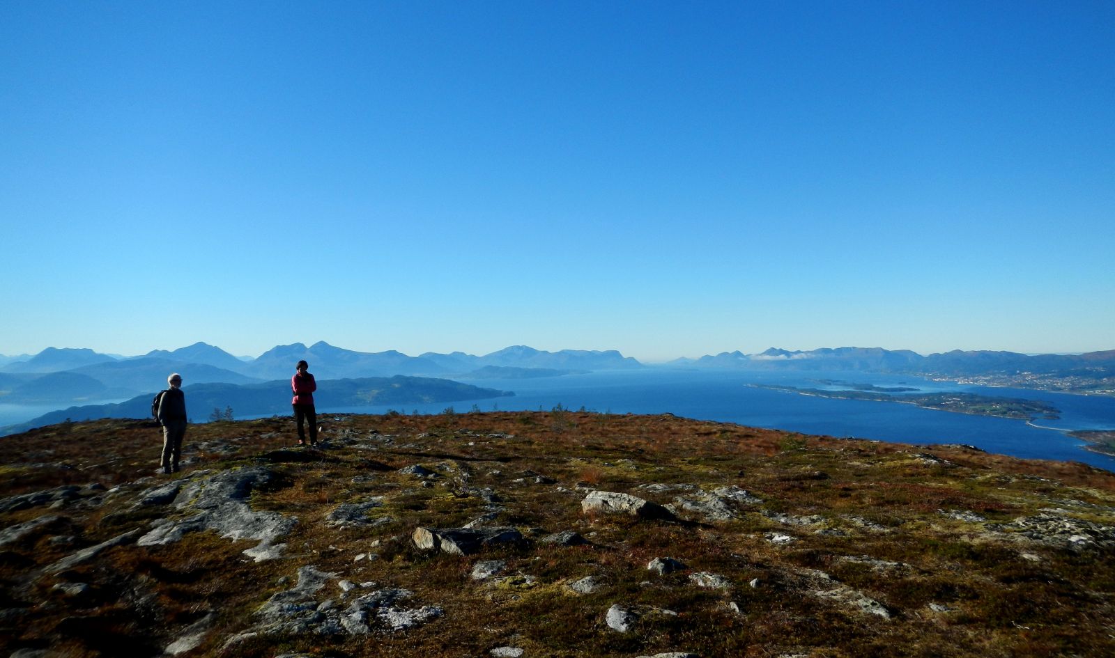
Just west of the powerful "Skåla", Molde's tallest mountain on Skålahalvøya, lies Horja, or Horga as it is spelled in several maps. The peak is 552 metres above sea level, and you start at about 65 m.a.s.l. There is a good description of the route on the Norwegian Trekking Association's website, as well as on the "Morotur" website. There are fabulous panoramic views from the town, especially towards the west, with Molde in the distance.
Make the hike on a clear day, or in the evening as the sun goes down. We spent an hour and half hiking up to the top. The trail is good and easy to find. Highly recommended for families!
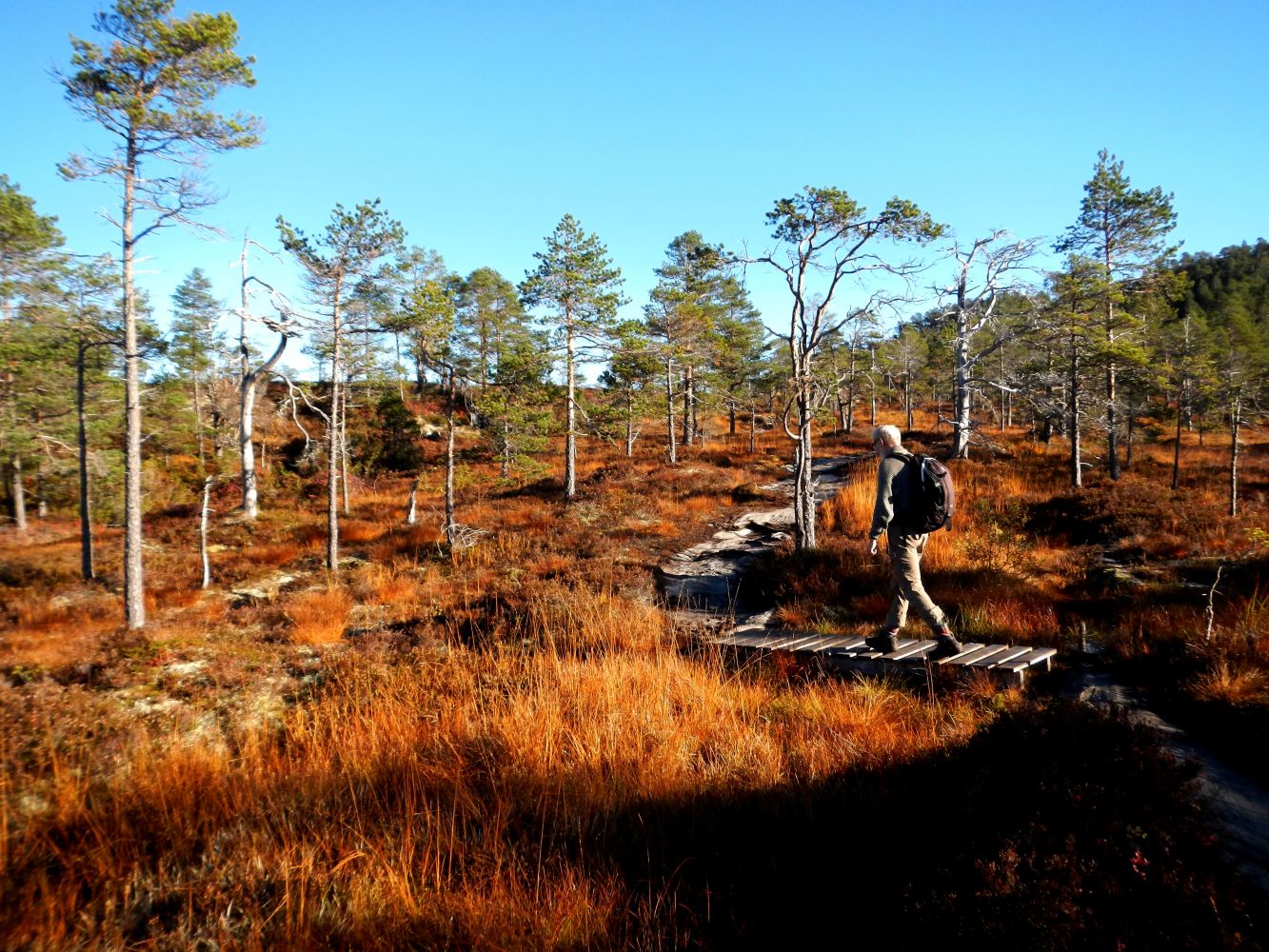
As there are a few wet areas, so make sure to wear good hiking shoes.
If you are coming from Molde, park on the left side of the road just before Skålasenteret (Bunkers Oil). Here there is plenty of space and the route leads straight up along a good, but rocky trail. Further up there are some wetter areas where there are planks across the marshes. Other than that, the trail leads mostly along bedrock.
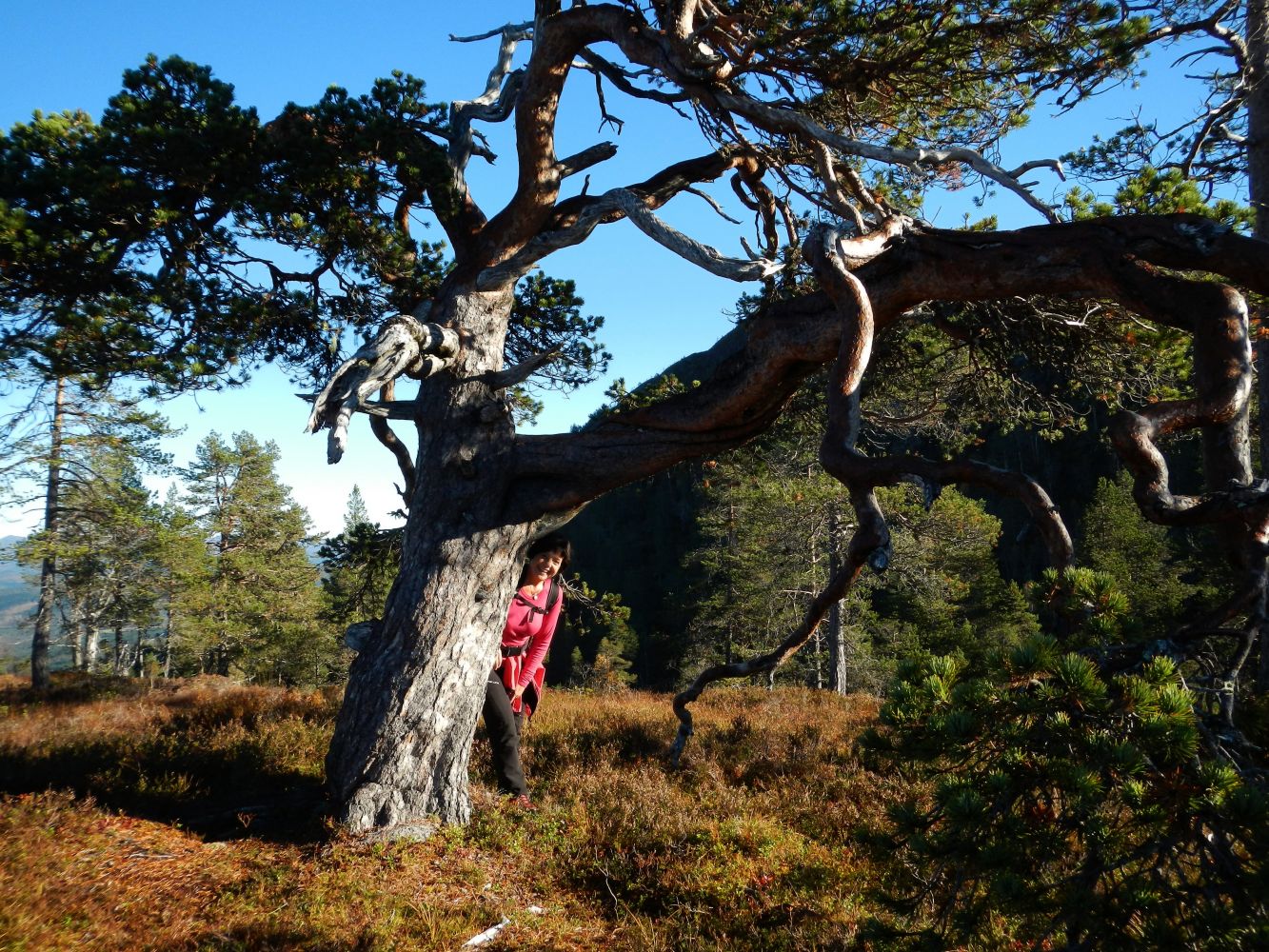
Two to three hundred metres up the trail there is a sign for "Kammen" ("Ridge"). There is perhaps a nicer path through the woods and up along the ridge. This enters the same trail further up. We hiked the "road" up and the "Ridge" down. Most people probably follow the road, at least on their first trip to Horja. This was our first trip, and we loved it!
From Molde, follow the directions to Bolsøya, and then drive through the tunnel and over the bridge across the sound. Then head towards Skålasenteret (Bunkers Oil) where you can park and start the trail. The trail starts and ends in the same spot.
The parking area east of Skålasenteret is a large gravel area on the east side of the road.
Distance
9,7 km both ways
Duration
3 t. 45 min.

| Surface type |
Distance |
| Sti |
9 |
There are buses from Molde, but a car is more practical.
Det mystiske alteret ved Horja
 Driving directions
 Route data
GeoJSON
Route data
GeoJSON