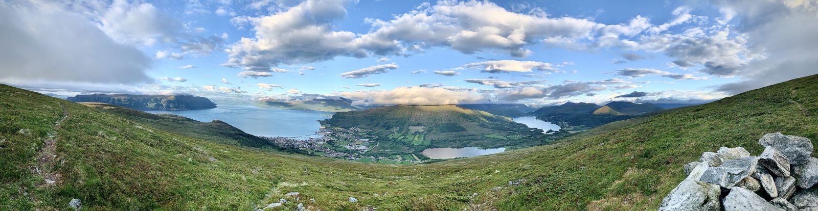
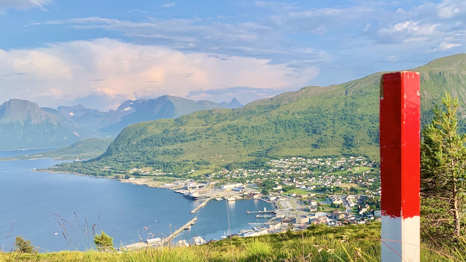
One of the central peaks in Hareid. Large sections of the trail up to Holstadhornet are laid with stone (Køyrevegen). There are some great views, also of the four ferry routes.
Route description
From Finnsgardsparka turn left and head up to Teigeråsa. Continue up to the top of the hill. About 50 metres to the left of Hovlidvegen you will see Torkelvegen to the right. The road gradually flattens, and about 50 metres after it flattens, there is a smaller side road to the left. At the end of this road, there is a path leading across a field along a stone fence to the left of a grey barn and further up the farmyard. The trail is laid with stone, and becomes more visible the further you walk. This is Køyrevegen. From here the trail is clearly visible all the way to the top. There are a few soggy sections towards the end, but otherwise nice and dry.
Access and parking
At the roundabout in central Hareid, just by the ferry port, take the exit towards Brandal. Follow Teigevegen and continue to Finnsgardsmarka. Here there is free parking on the left side.
Hiking route
Blue
Distance
3,70 km one way
Elevation
511 m
Duration
3 t. 10 min.
Sesong
Winter, Spring, Summer, Autumn
Highest Point
530 masl
Signage
Both signed and marked
Map route
Public transport
The entire route can be completed on foot from central Hareid.
Other
At the start of the route, about 100 metres after you pass the farmyard, you will see a clearing in the woods to the left: Hovlidbana football pitch. This was where Åge Hareide laid the foundation for his career as a professional football player, national football team player and later, the national football team coach.