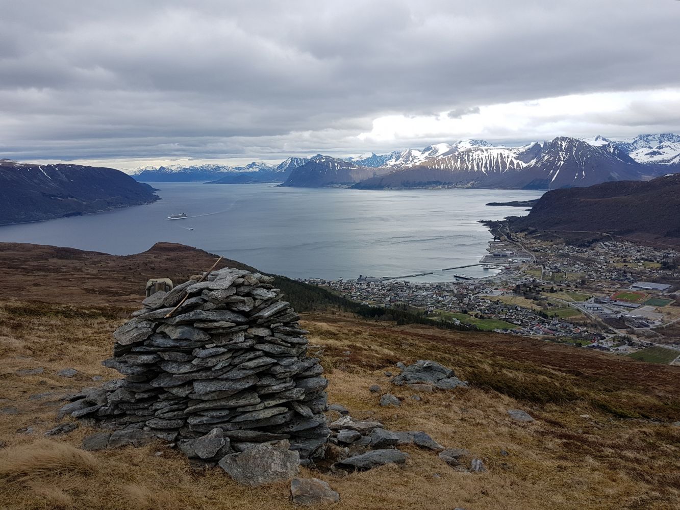
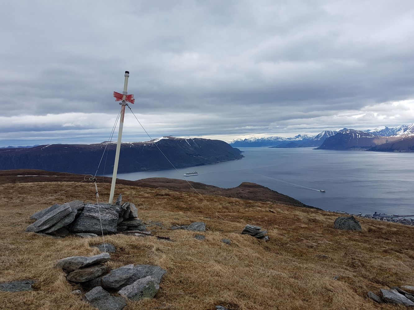
One of the central peaks in Hareid. The other is on the opposite side of the valley, Melshornet. Much of the trail up Holstadhornet is laid with stone (Køyrevegen). There are lovely views of all four ferry crossings.
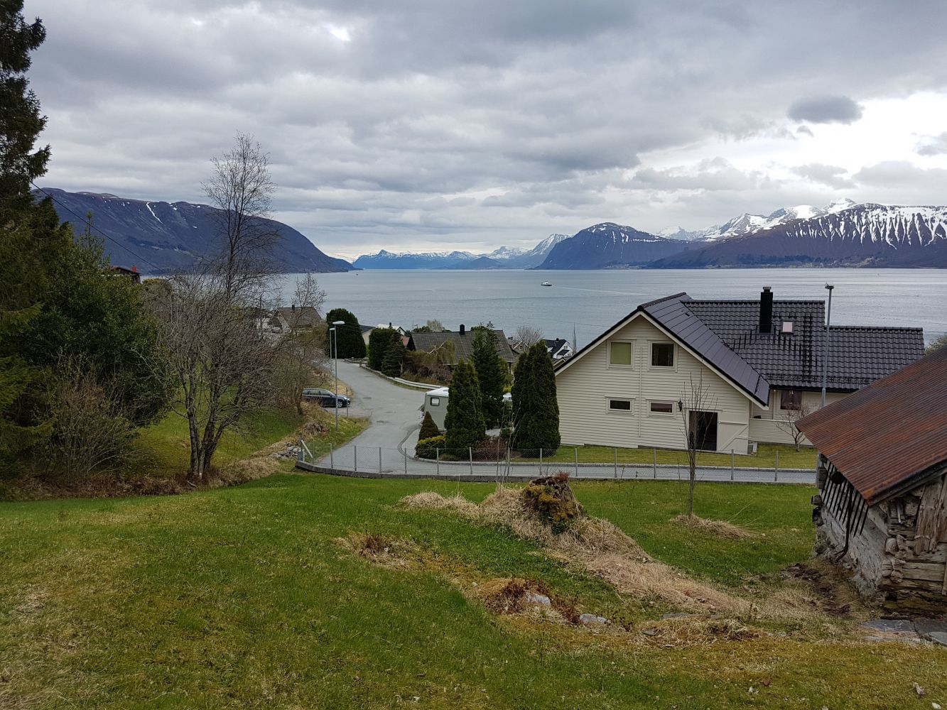
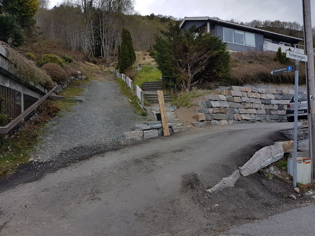
Start from Torkelvegen. There are signs for Holstadhornet. You can follow the signs if you wish. On this route, you will be driving up a dead-end road where you can park (in the opposite direction of the sign for Holstadhornet), then head onto a path across the field and you will come to a good, stone pathway known as Køyrevegen. There is a good trail to the top. A few wet sections towards the end, but otherwise nice and dry. There is a cairn just below the top in the direction of Hareid. It is well worth a look. Great views towards central Hareid. You can return via Nonsberget, which will give you a view of Brandal. If you prefer to follow a trail, take the same route you came up, but be sure to follow the most clearly established trail when nearing the bottom (130 m.a.s.l.). You will then come down between two houses further into Torkelvegen.
On this route, I followed the ridge for a while until getting back to the trail at about 300 m.a.s.l. The ridge has no trail but is easy to hike.
At the roundabout in central Hareid, right by the ferry port, follow the sign to Brandal. Drive towards Kvisla, then turn on Hovlidvegen and up to Torkelvegen
There is parking on Torkelvegen by a field with a sign indicating Holstadhornet.
Duration
3 t. 5 min.

| Surface type |
Distance |
| Sti |
6 |
Bus or ferry to central Hareid. Walk or cycle to the trailhead
Bus: visit frammr.no
Ferry: Norled (2018)
Holstadhornet - hareidlandet.no
 Driving directions
 Route data
GeoJSON
Route data
GeoJSON