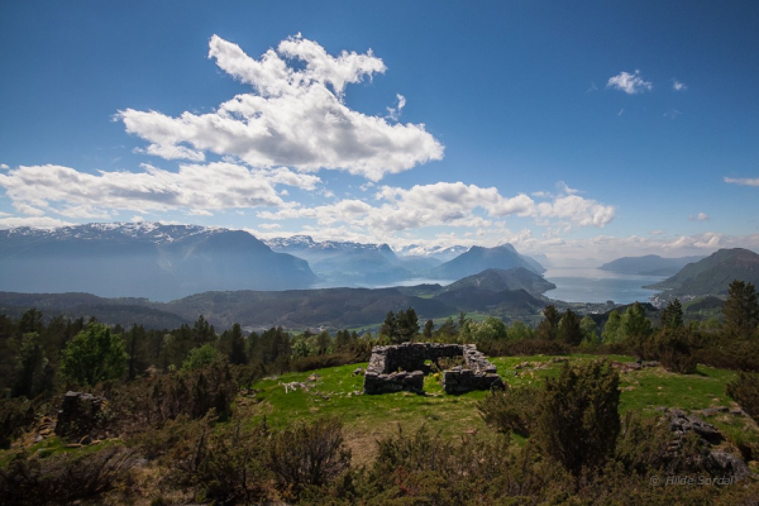
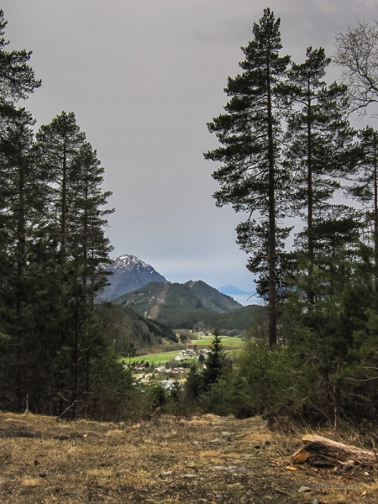
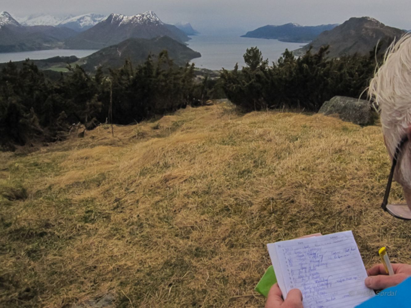
This hiking trail follows a farm road, a forest road, and a path at the end. You will cover different types of terrain with gentle ascents and some flatter sections. The area is snow free from the middle of May. Høgsetra is an old mountain farm where you can now only see stone foundations of a farmhouse and a barn. You will get a scenic view of the village and the Storfjorden and of the Ramstaddalen Valley and Søvika on the other side. Høgsetra is also a nice stopover on one of the routes to Mount Giskemonibba.
Follow the signposted farm road from Giskemosaga up towards Høgsetra and take the left turn at the first intersection. A forest road runs northwards from here over a flat area. Keep following the signs and walk along this forest road until it ends. Cross a stream at the end of the forest road, go straight ahead, and take the path up the hill. Follow this path until you reach the mountain pasture and see the stone foundations. You will find a postbox with a trail journal on the foundation wall of a barn in the middle of the area.
Turn off from County Road 103 (FV103) near Giskemo on the southern side of the bridge over the Ørskogelva River. Follow the road to Giskemosaga and the timber stacking area. You will see signs for Høgsetra, Lisetsetra, and Snaufjellet. Park your car in Giskemosaga.
Distance
4,4 km both ways
Duration
1 t. 50 min.

Sesong
Spring, Summer, Autumn
Signage
Both signed and marked
| Surface type |
Distance |
| Grus |
2 |
| Sti |
2,2 |
Fram Ekspress bus service to Valgermo.
 Driving directions
 Route data
GeoJSON
Route data
GeoJSON