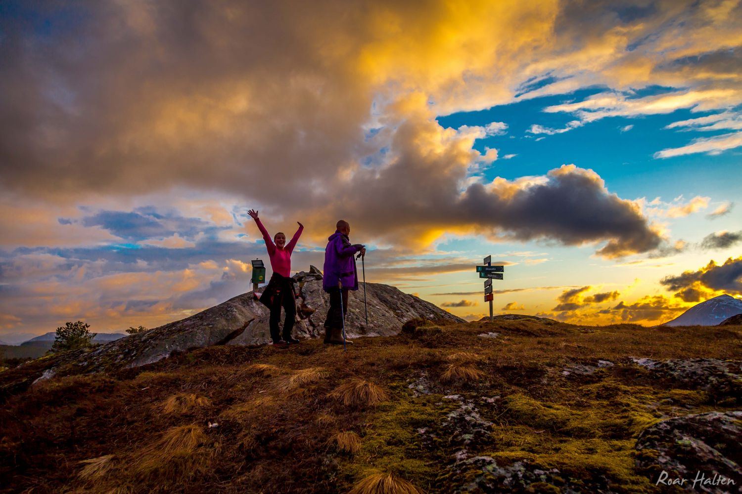
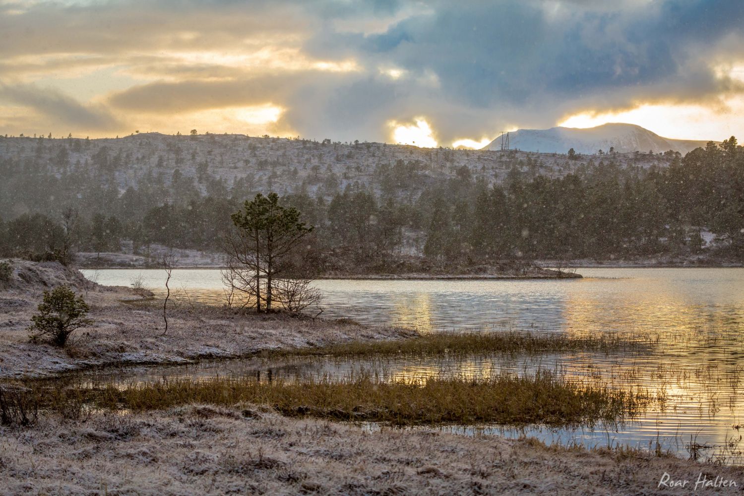
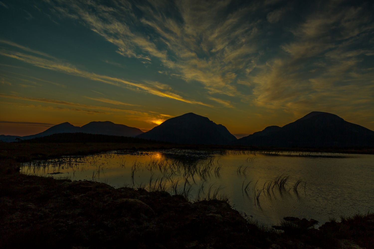
Take a walk up to the highest point in the municipal centre Liabø and around Lake Storvatnet. Even though it is only 324 metres high, the top of the Høgheia hill offers a great panoramic view. You will get a view of Kristiansund in the west, the mountains of Tustna in the north and Skålvikfjorden in the south.There is a little beach at the end of Lake Storvatnet which has given the name “Rausand” to the area. Here you will find a place for barbecue and opportunities for swimming.
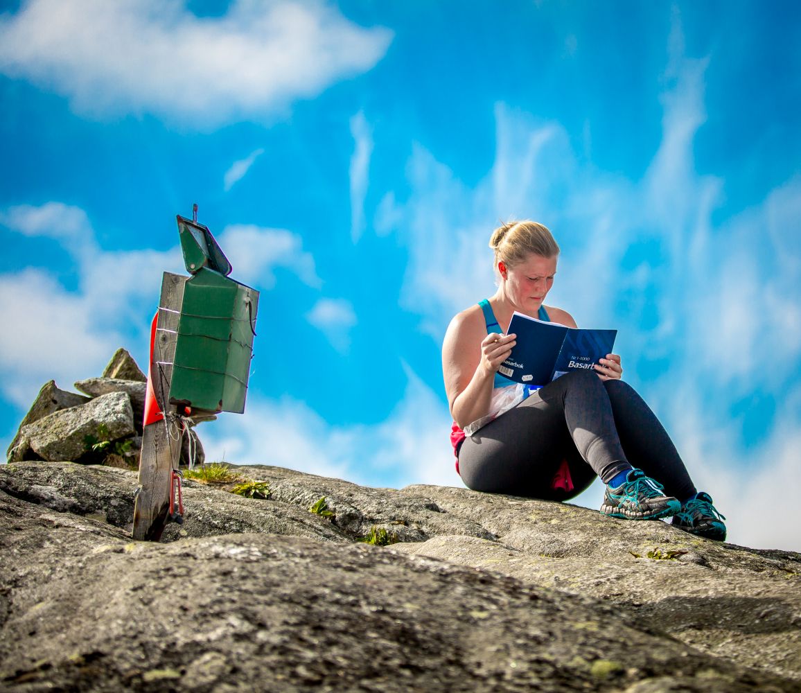
The trail starts at the car park in Liabø, and you will have to cross E39 from there. Walk up to the end of the Utistuvegen road. Then take the turn to the right in the direction of the Liabøvegen road. Follow the signage up to the Høgheia hill.The trail passes through some wet sections where there are small bridges. The trail postbox with a journal and a code are placed at the top of the hill. On your way down from Høgheia, follow the waymarked path in the direction of Rausand and Liabø. It will take you on a nice walk around Lake Storvatnet, and you can take a break from walking or maybe take a quick dip in the lake at Rausand. From there, follow the marked route down to Liabø. The trail passes through some sections of marshland, so we recommend wearing boots or high-cut hiking shoes.The trail is about 6 km long.
The trail starts at the car park of the shopping centre in Liabø.
Use the car park of the shopping centre in Liabø next to E39.
Position of the car park: "N63° 07.120' E8° 18.486'"