Høgenipa, route 45 – from Landsverk in Syvde to Høgenipa
Vanylven
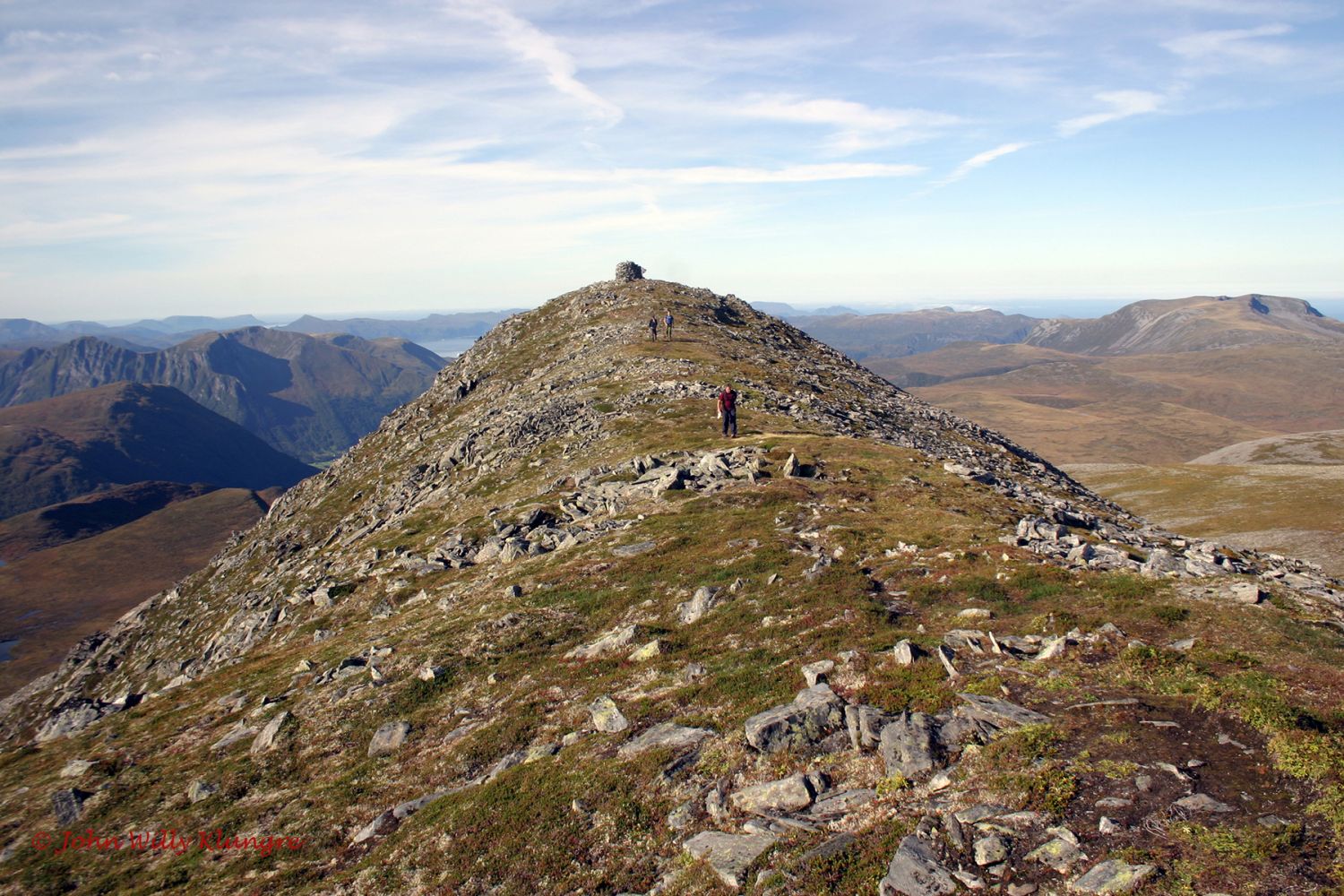
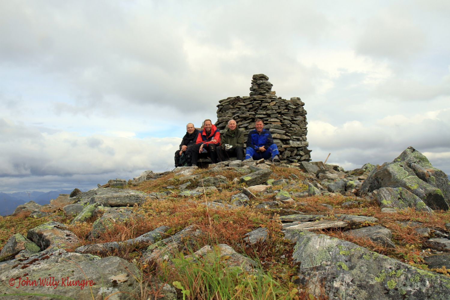
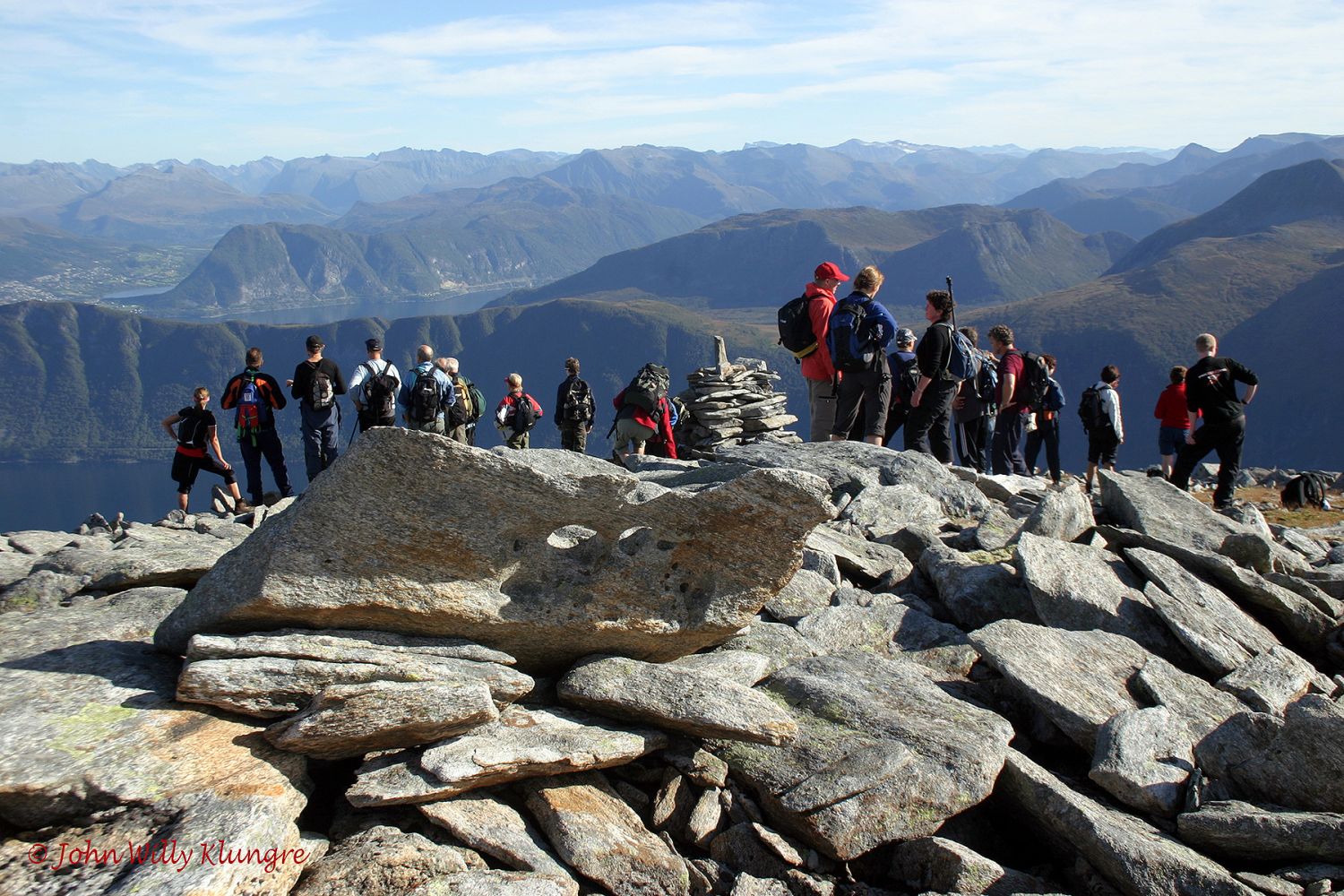
This hiking trail takes you to Høgenipa, the third highest mountain in Vanylven Municipality that rises to 1097 m a.s.l. The trail is signposted and marked. As seen from Syvde and other villages in Vanylven, Høgenipa is a pyramid-shaped mountain. It is also one of the most well-known mountains in the municipality. The trail is perfect for those who want an easy hike to one of the highest mountaintops in Vanylven. The trail destination offers an amazing view to the north, west, and south. For the most spectacular view to the east, walk to the eastern end of the horizontal mountain ridge between the tops Høgenipa and Lisjenipa on the other end of the ridge. There are several alternative routes to the top of Høgenipa. The most common one is the northern route number 45.
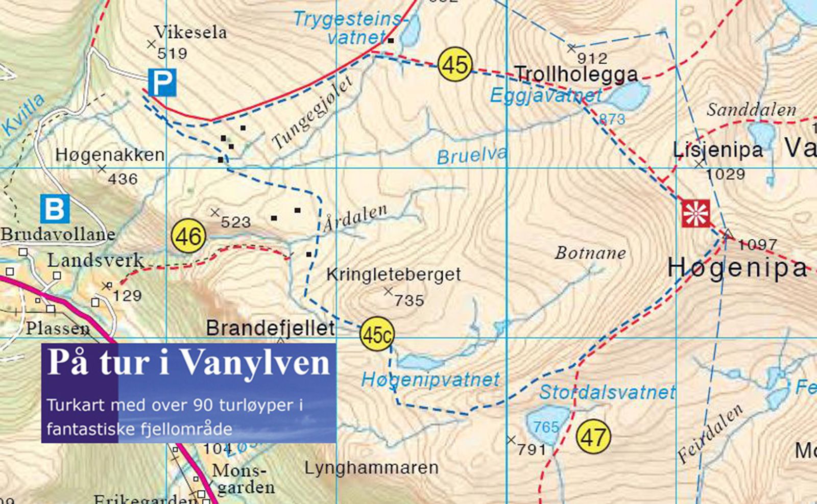
A toll road runs from Landsverk up to the height of 400 metres above sea level. Pay the toll fee of NOK 30 just after you have driven over the bridge in Landsverk. There is plenty of parking space at the end of the toll road. There is a sign for Høgenipa at the car park, and the entire trail is well marked. The toll road begins in Landsverk. Turn off to Nordal a couple of hundred metres north of the centre of Syvde. Drive along the valley and turn left over a bridge after 2.3 km. Turn left just after the bridge and drive for 200 metres until you reach the beginning of the toll road. Both junctions are signposted to Høgenipa.
Duration
6 t. 25 min.

Sesong
Spring, Summer, Autumn
Signage
Both signed and marked
| Surface type |
Distance |
| Sti |
9 |
Hiking map: På tur i Vanylven (Eng. Hiking in Vanylven) – can be purchased at local shops and petrol stations in Vanylven Municipality.
 Driving directions
 Route data
GeoJSON
Route data
GeoJSON