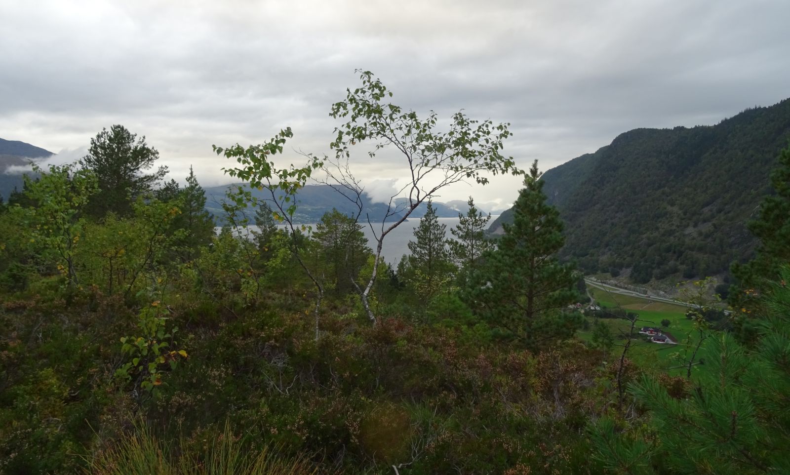
This trail offers diverse hiking experiences and is suitable for families. There are many nice picnic areas along the way and a beautiful view at the top.
Route description
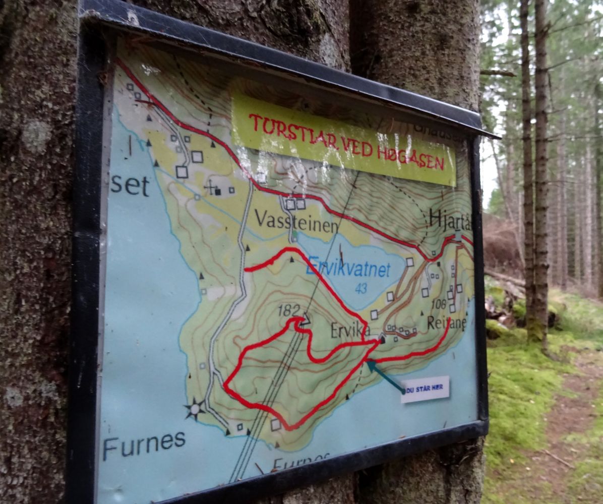
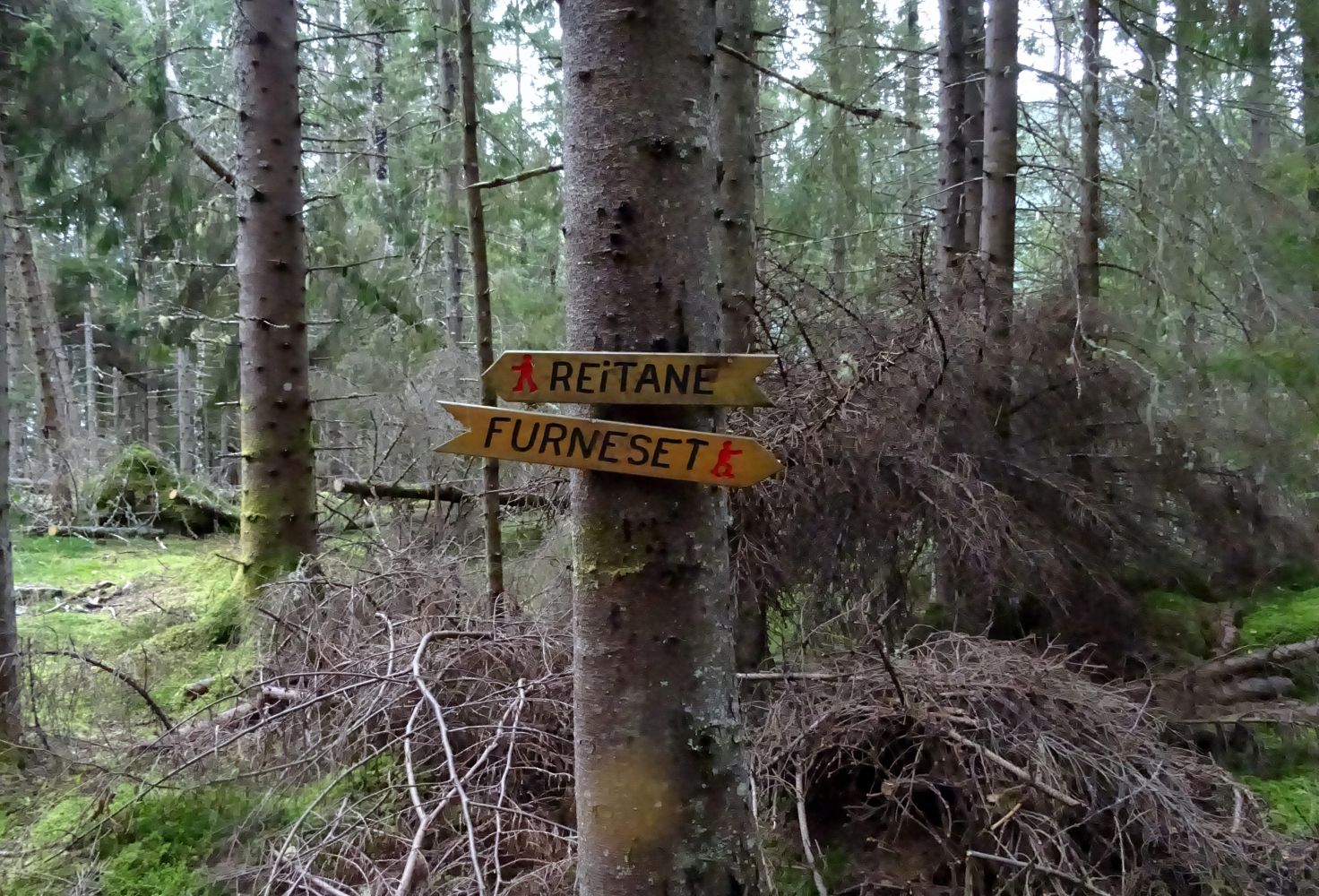
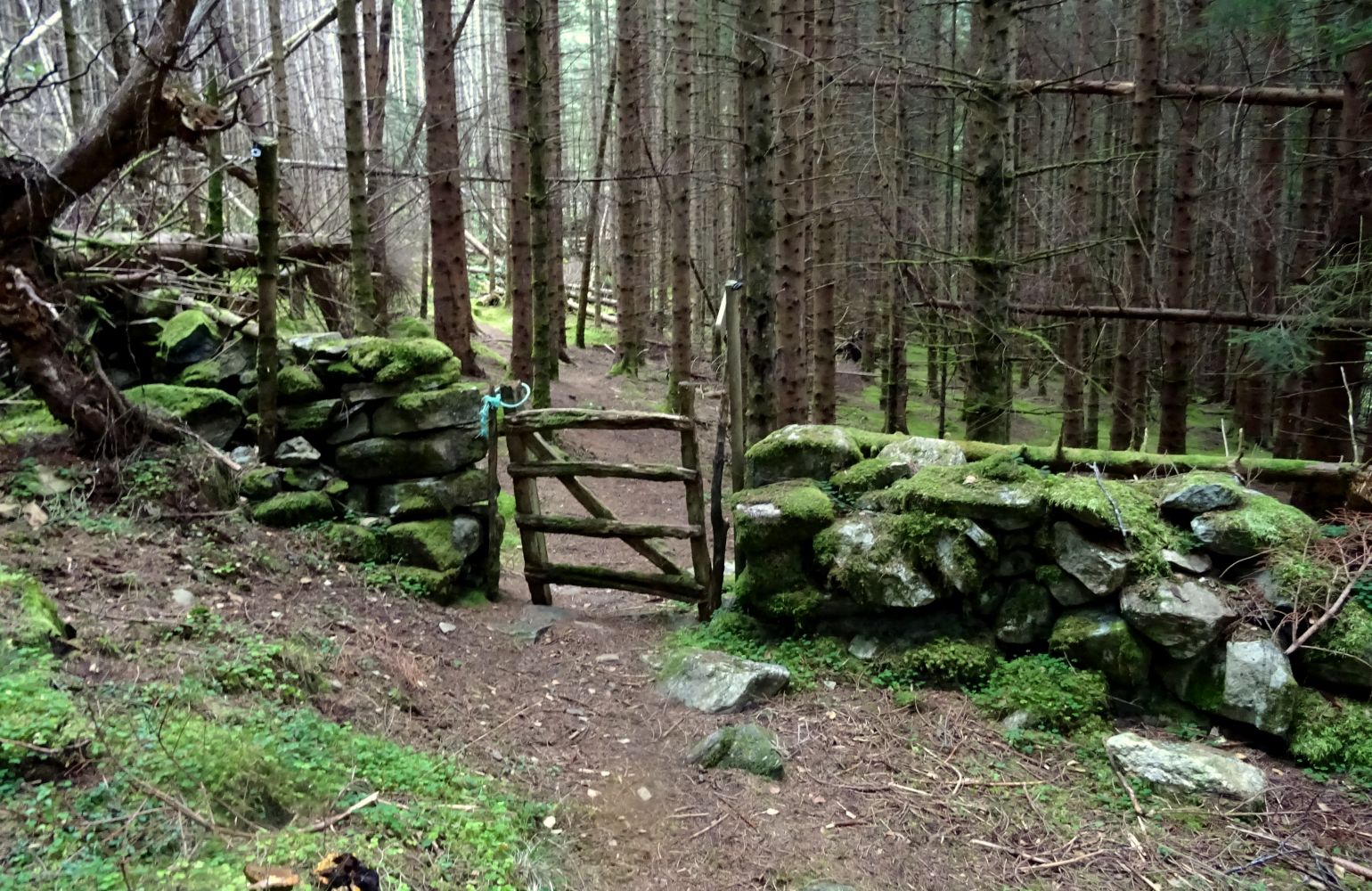
Start walking from the youth centre (the former Hjartå school). The route described here goes down through the forest near the youth centre, at the southeast end of the sports ground. Follow the clear path that is signposted to Furneset as you walk further. It will take you through a spruce forest and then along the seaside until you reach a small farm. Walk through the field just above the barn and walk onto a road. Follow this road further uphill for about 200 m until you come to a sign pointing to, among other things, Høgåsen. Follow the path as into the forest and up to Høgåsen. Just before you reach Høgåsen Hill and the viewing point itself, you will see a sign that reads “Skulen”. You will follow this sign later, but first take a detour up to the top of Høgåsen. Go back and follow the sign for “Skulen”. This route is slightly shorter and steeper than the one you followed up here. You will come back to the starting point at the western end of the sports ground through a gate in the fence.
Access and parking
Drive along E39 from the centre of Volda towards Stryn. Turn off towards Hjartåbygda just before the Hjartåberg Tunnel and follow Hjartåbygdvegen Road for about 2 km. After a few turns, you will see the sign that reads “Ungdomshus/Skule” (Eng. “Youth Centre/School”). Take the narrow road Åsemyra (the upper road) and follow it until you reach several private houses and the youth centre (the former Hjartå school). This is where the trail starts.
Park your car by the youth centre at the starting point of the trail.