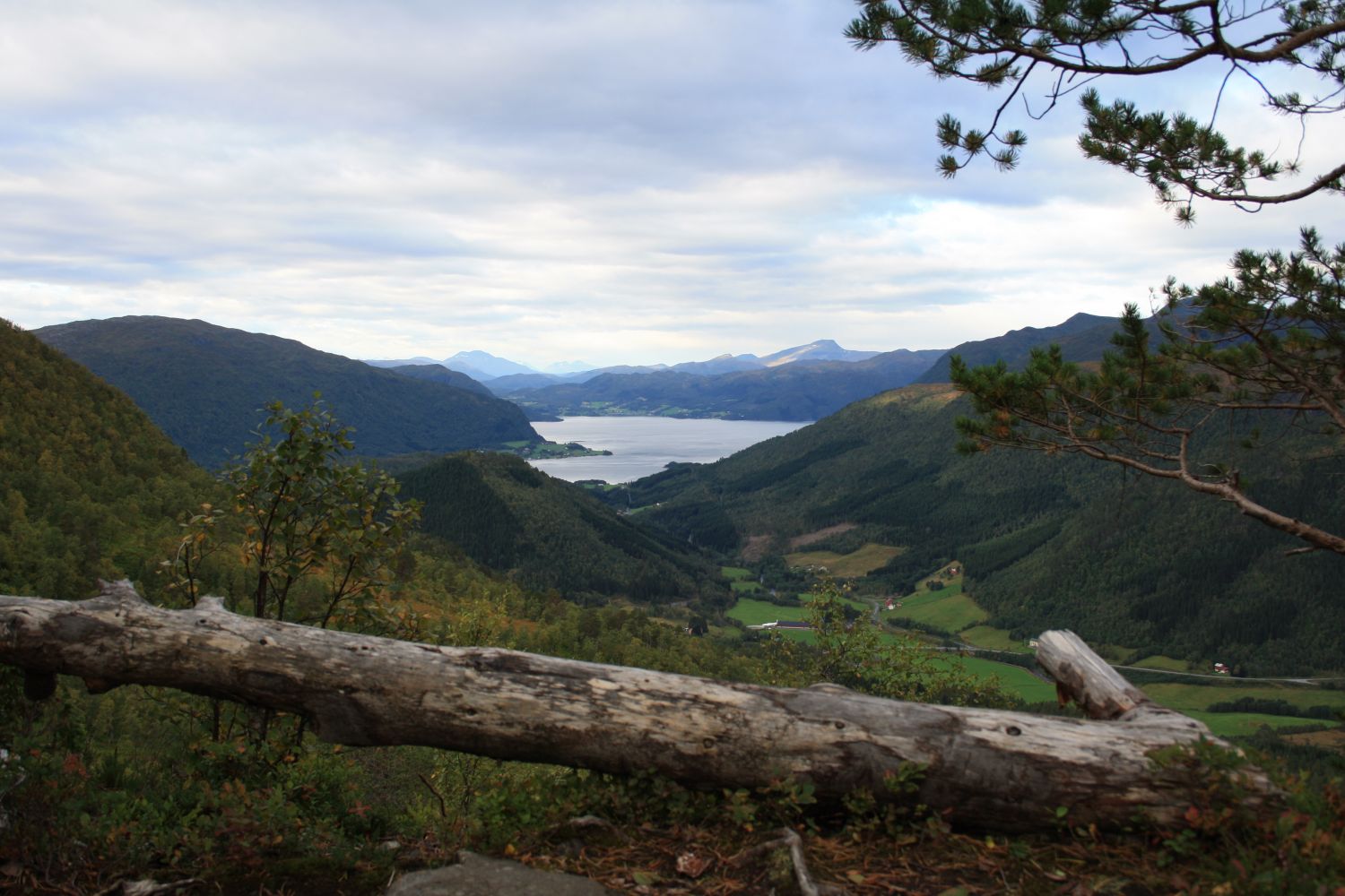
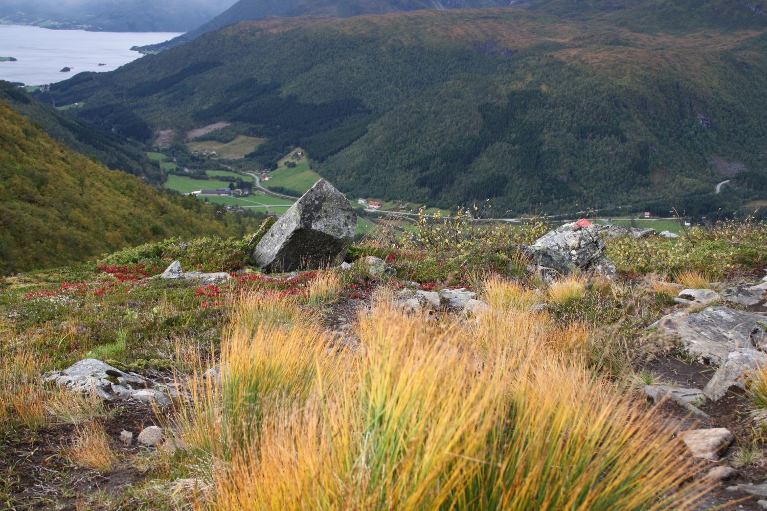
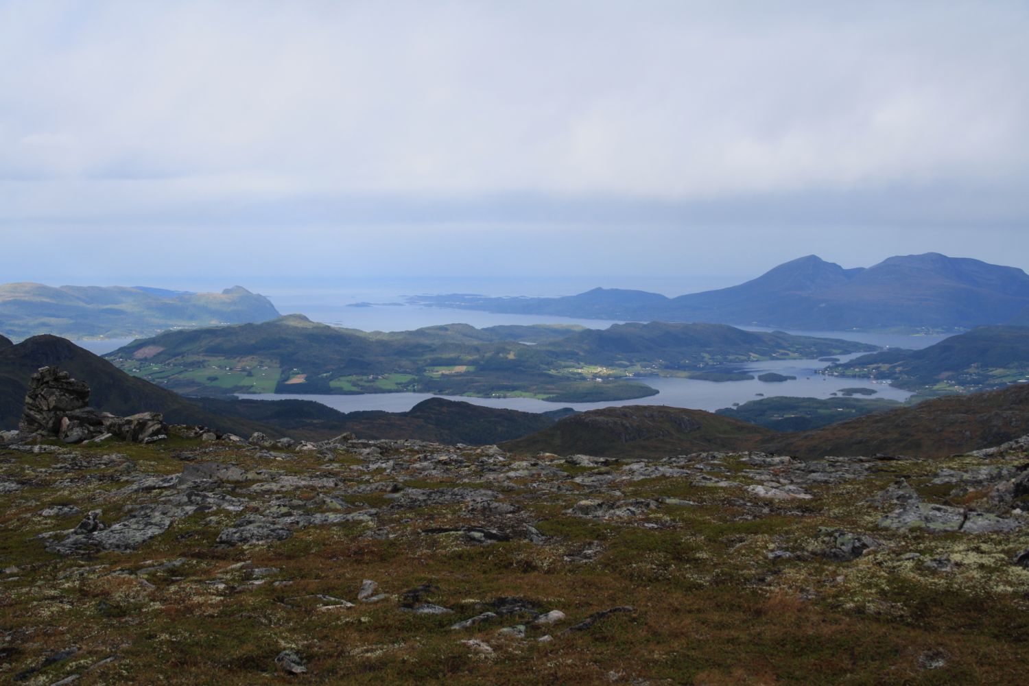
Mount Hjelmen, which rises to 978 metres above sea level, is one of the major landmarks of Surnadal Municipality. The trail to the mountaintop is not very long but fairly steep. Some light mountain climbing might be necessary on certain sections of the trail. The mountaintop offers a fantastic ocean and mountain view including the islands of Smøla and Tustna and the Trollheimen mountain range.
Drive over Åsskardhøgda to Settemsdalen. Turn onto the gravel road that runs along the meadows on the right side of the road just before you reach the Bøfjord junction. Drive up a hill. Keep to the right when the road splits. Park your car at the sign that reads “Mjølkplasshauan”. Walk up the forest road from there. Turn left when the forest road splits further up the mountainside. Cross the Almbekken stream and follow the path as it climbs up to the top of Hjelmen. The path is clearly defined the entire time, and it is also waymarked. There is only one place where you need to pay attention to the route – when the path from Settemsdalen meets the Fjordruta (Eng. The Fjord Route). There is nothing to worry about on your way up when the two paths meet, but when you walk down, remember to turn left where the path splits in two. If not, you will end up in Haugaskaret.
Park your car at the sign for Mjølkplasshauan in Settemsdalen.
Distance
6,4 km both ways
Duration
3 t. 25 min.

Sesong
Spring, Summer, Autumn
Signage
Both signed and marked
| Surface type |
Distance |
| Sti |
5,4 |
Keep in mind that there are grazing animals in the area. Please drive slowly if they come close to the road and close all the gates behind you.
There are signs with names of local places along the path such as “Trollstien” (Eng. “The Troll’s Path”) or “Bj
You can get to Settemsdalen by bus and walk to the starting point of the trail from there.
 Driving directions
 Route data
GeoJSON
Route data
GeoJSON