Follow the gravel road towards Hidsdalen for about 1 km. Turn left at the sign for Hidsegga and follow the marked path to the top.
We suggest taking the path straight up on your way up and returning further west via the ridge of Hidsegga. This way, you will get a beautiful open view of Hidsneset.
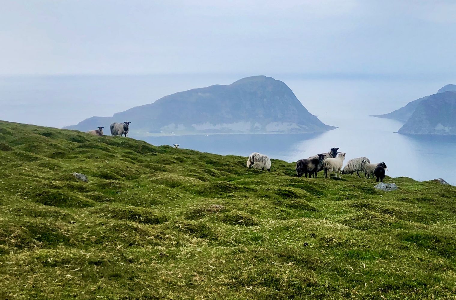
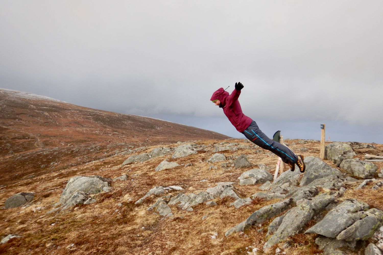
You can also walk along some mountain ridges if you enjoy a more open landscape around you.
Follow the edge/ridge down until you come to the marked path. Follow this path, and you will return to the starting point.
This hike is fairly easy in the beginning but becomes more difficult later on.
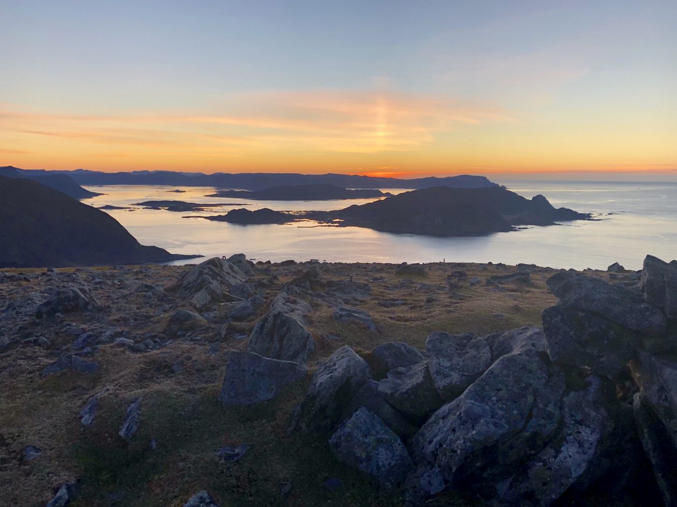
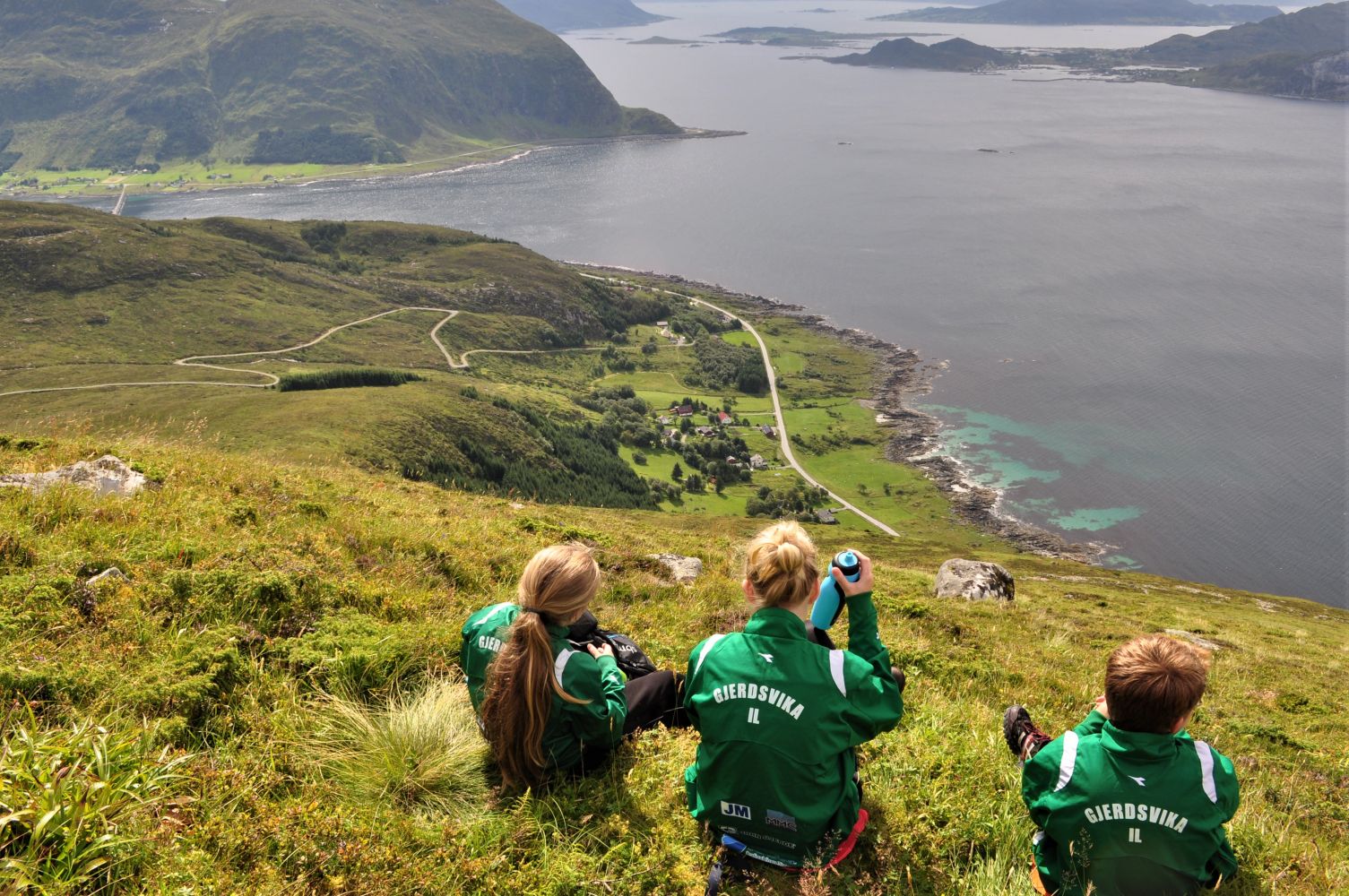
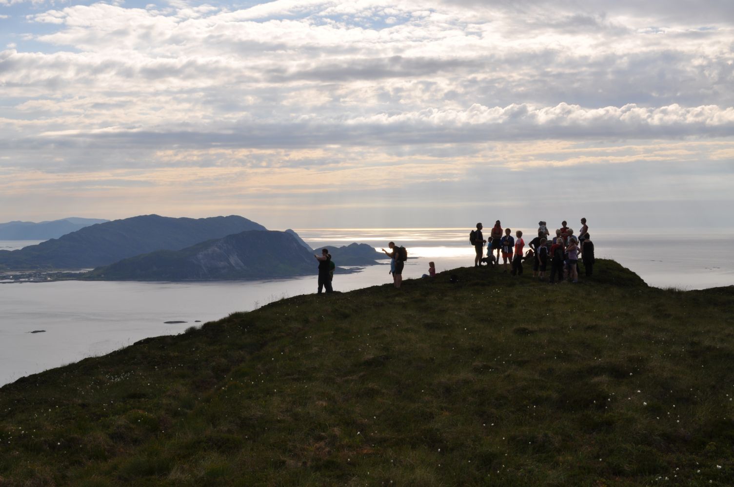
View from the peak: Runde, Skorpa, Hornelen, Herøy, Ulstein, Stadt, etc. Two sports associations, Gjerdsvika IL and Moltu IL, have a trail post on the peak of the mountain.