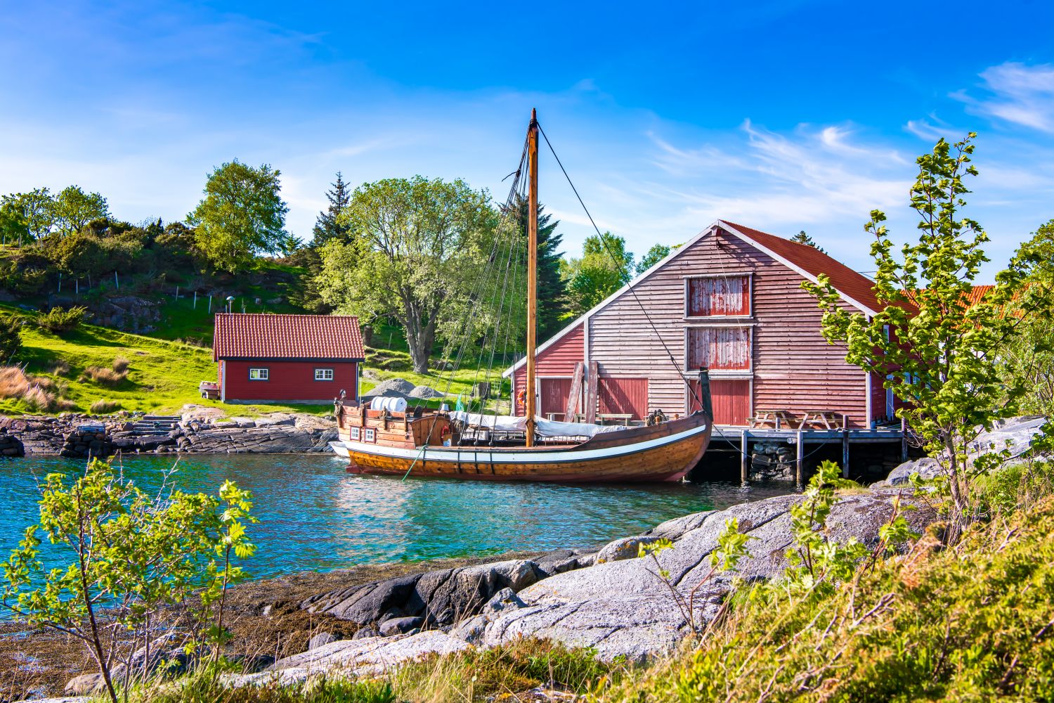
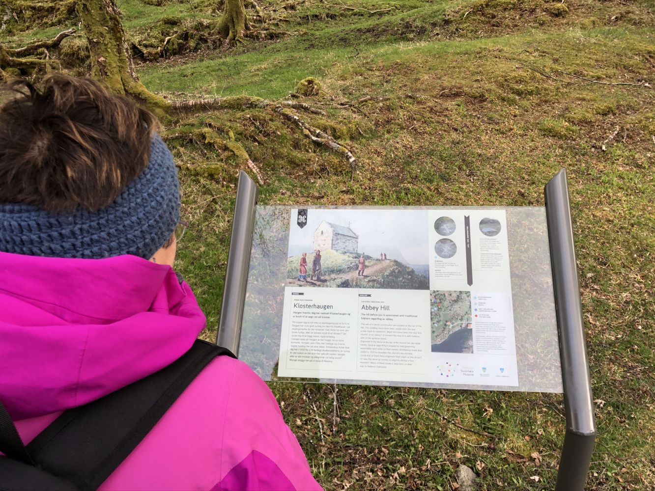
This trail takes you through one of the most historical places in Sunnmøre and ends at the outdoor stage. For more than 1000 years, this island has been a meeting point for Herøy, Land of the Sea. You can learn more about the history of the region from the signposts along the path that runs over the island. There is a toilet at the starting point of the trail by Herøy Kystmuseum (Herøy Museum of Coastal Culture).
Route description
Follow FV654 until you reach the exit road to Herøy Kystmuseum and drive along the road over Nautøya Island until it ends. Park your car before the bridge to Herøy Island.
Access and parking
The trail starts from the car park at the end of the road over Nautøya Island, before the bridge to Herøya Island. The hiking trail follows an asphalt road in historic surroundings and brings you to the outdoor stage at the westernmost part of the island. This is where the Viking pageant, “The King’s Ring” is held every year. In the olden days, the Viking kings docked their ships and settled on the island. There was also a “thing stead” (a meeting-place for a governing assembly) here. Herøy used to be home to several churches. From the 1770s, the place served as a trading hub where seafarers could find a shelter.