Helgehornet Along the Western Ridge
Volda
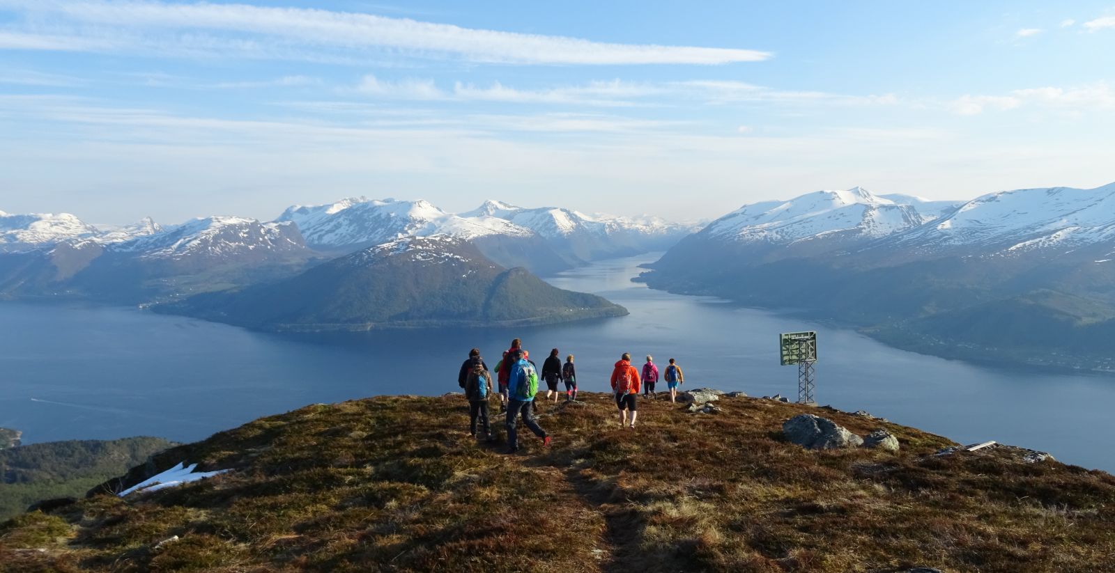
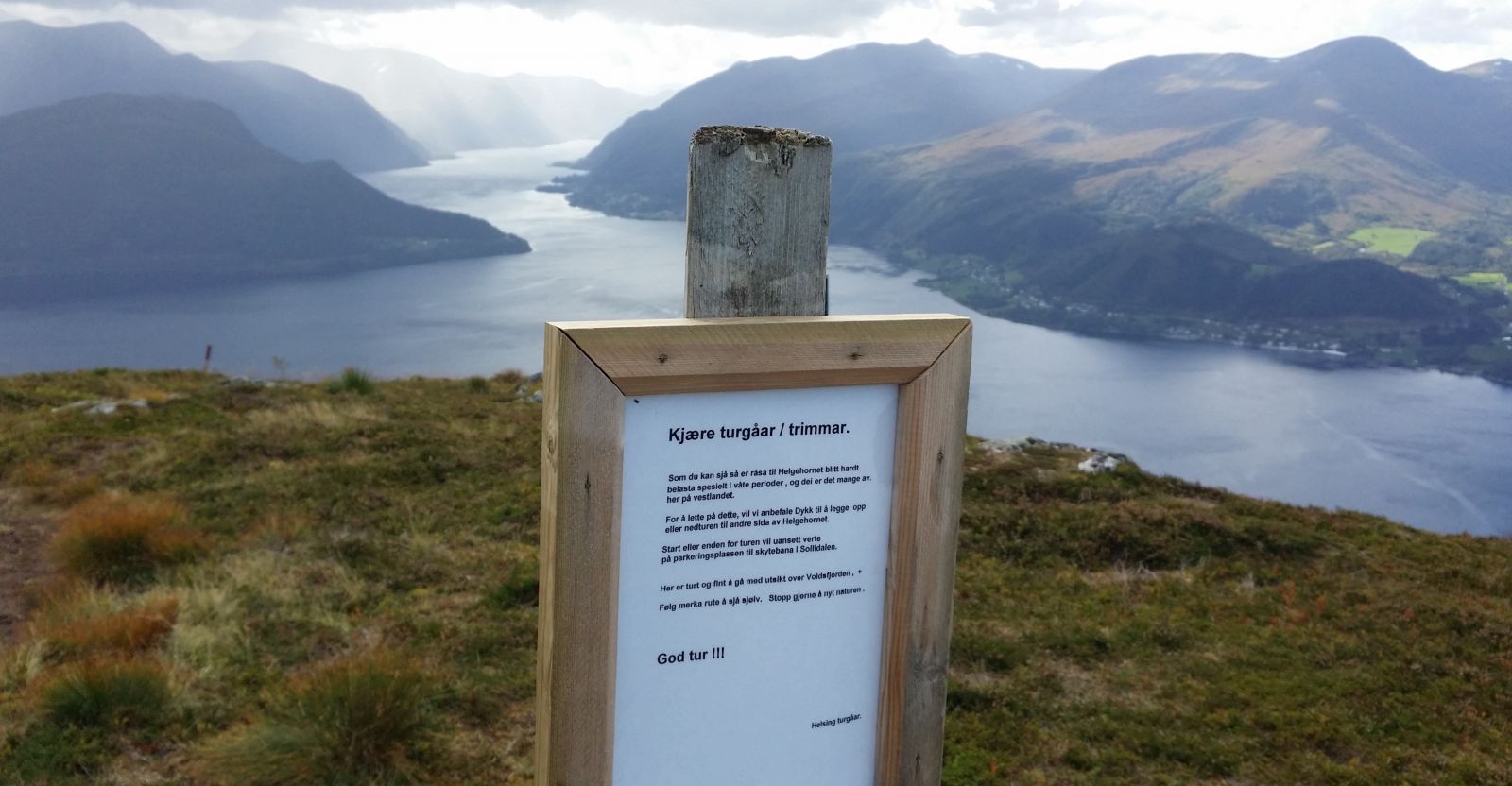
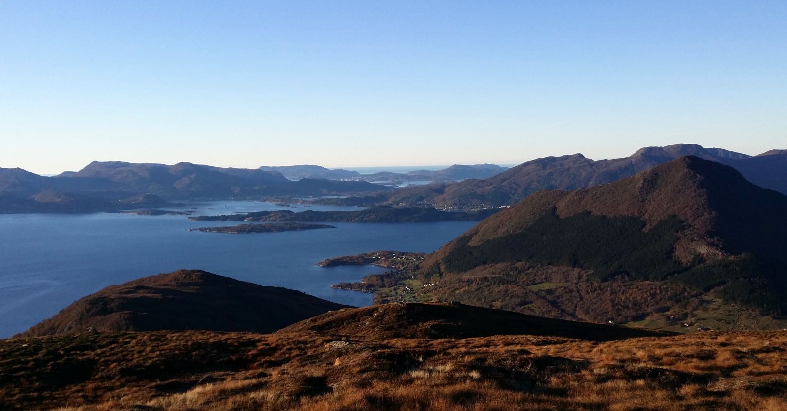
Mount Helgehornet with its fantastic view is a very popular hiking destination for people of all age groups. Many people will enjoy this new route as a good alternative to the most common route with the start at the shooting range. The route has recently been properly marked, so it is easy to find. The path runs through beautiful terrain along the mountain ridge towards Voldsfjorden. The area offers a great view, especially if you look at the villages and mountains on the western side of the fjord.
Start walking from the shooting range in Sollidalen. You can either follow the path from the car park next to the clay pigeon shooting range or walk along a parallel forest road a little further down, for example, when there is some activity on the shooting range.
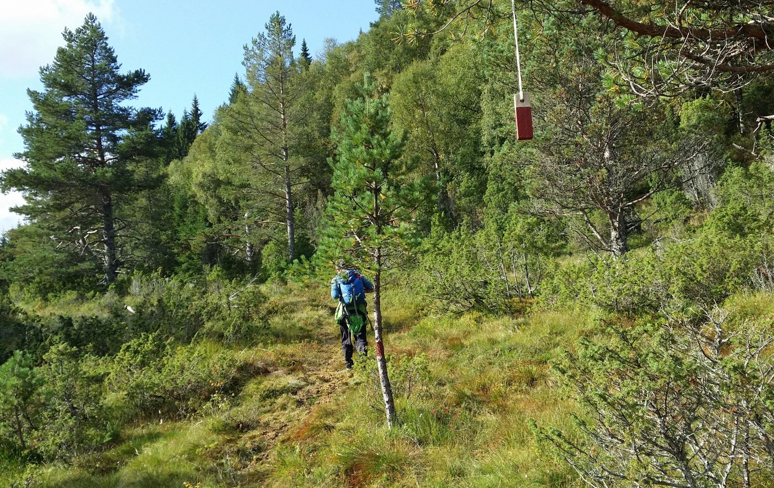
About 100 m before you reach the shooting range, you will see a forest road to the west. The path is well marked and clearly seen. You will first walk through a nice birch forest, then a more open landscape, and finally along the mountain ridge all the way to the top. You can also choose to do a loop trail and follow the “regular route” on your way down. This is where most people go, so finding your way down will not be a problem.
Drive along E39 from Volda to Ørsta or from Ørsta to Volda. Turn off to Berkneset/Mork Rehabilitation Centre (Berknesvegen Road). Take the first road to the right (Furene), then left and immediately right again (Håskjoldvegen). Drive along Håskjoldvegen Road until you reach Kleiva. Drive up the road here. Just before you reach the farms up on the hill, take the turn to the right and follow the road until it ends.
It is signposted to the shooting range/Sollidalen.
Park your car next to the shooting range in Sollidalen.
Distance
4,8 km both ways
Duration
2 t. 15 min.

| Surface type |
Distance |
| Sti |
4 |
There are several routes to Mount Helgehornet. The most common one starts at the shooting range as described here. But this could be a good alternative:
http://mrfylke.no/Morotur/Turar/Helgehornet2. All the routes can be combined.
Map of Sunnmøre, norgeskart.no
 Driving directions
 Route data
GeoJSON
Route data
GeoJSON