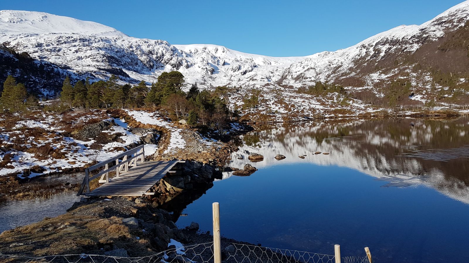
The trail starts from the car park next to the chapel. Follow the path which takes you in the direction of the tractor road/hiking trail and then further up the valley. It is just about 3 km to Lake Heggdalsvatnet. The road splits just before you reach Stølen, after you have passed the bridge. The road forms a looped trail around the valley, so you can choose to follow whichever way you want. Remember to close all the gates you open to make sure that the cows and sheep won't run away. Hold your dog on a leash.
Access and parking
There is a car park next to the Nord-Heggdal Chapel.