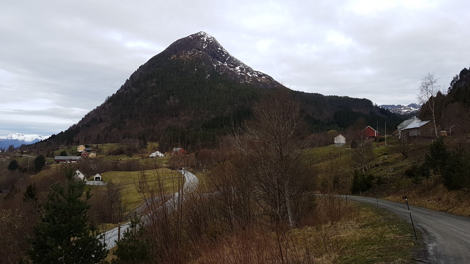
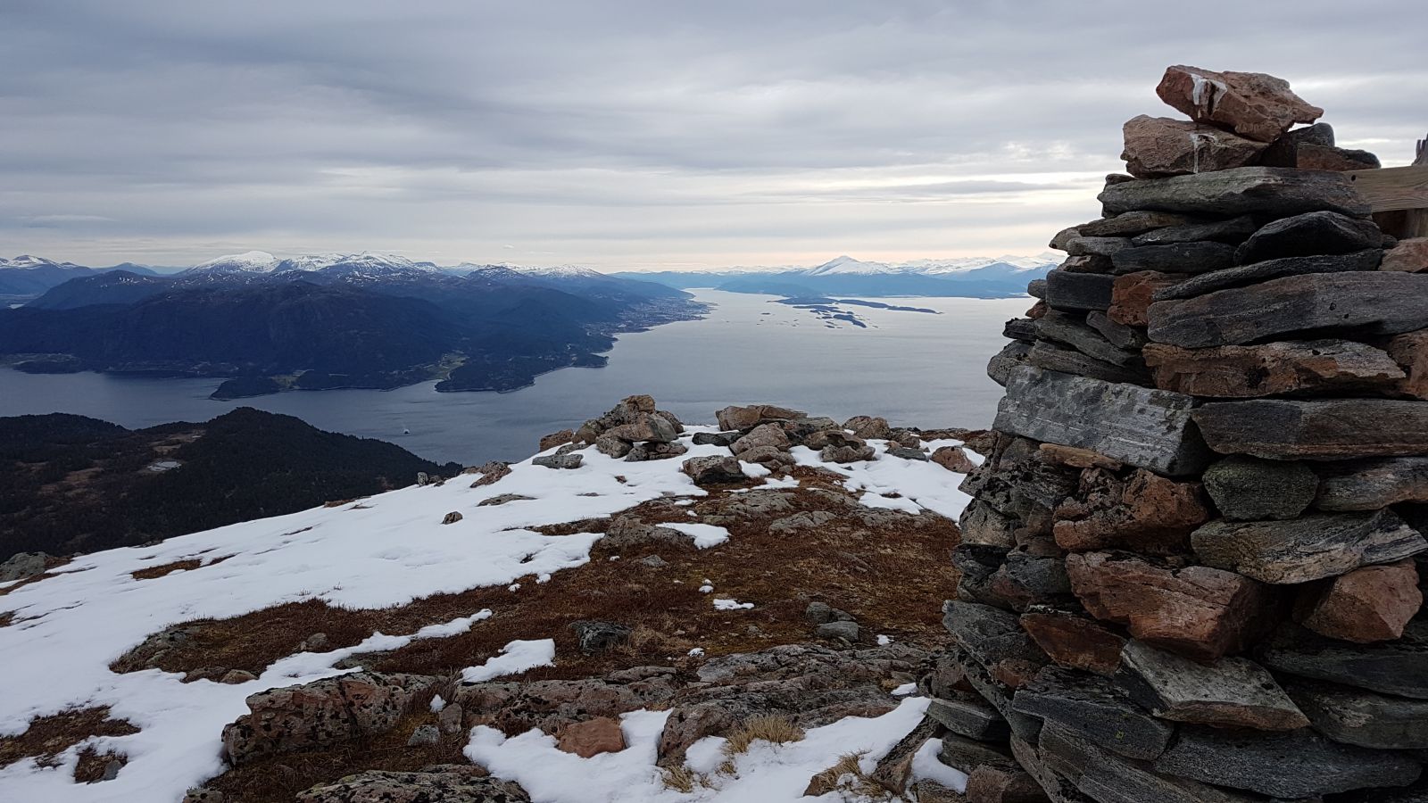
Mount Heggdalshornet is one of the components forming the so-called “gap” which you can see if you look westwards from Molde. You will get a beautiful view from the top towards Molde and the fjords around you.
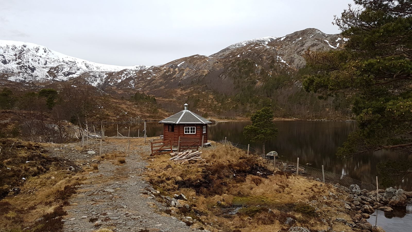
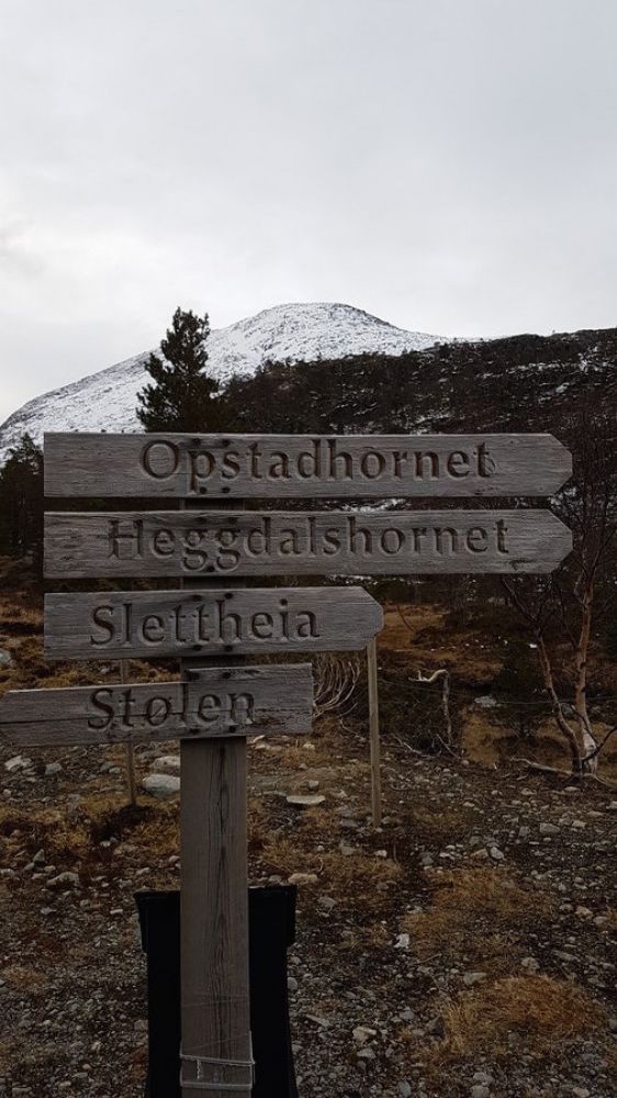
The trail starts from the car park next to the chapel. Follow the path which takes you in the direction of the tractor road/hiking trail and then further up the valley. It is just about 3 km to Lake Heggdalsvatnet. The top of Heggdalshornet will be visible all the way up. Once you reach Lake Heggdalsvatnet, follow the shared trail to Opstadhornet and Heggdalshornet. You will see a sign to Heggdalshornet after about 400 metres. The path from here up to the cleft between Opstadhornet and Heggdalshornet is very unclear. The path is marked, but it can be difficult to follow. The attached GPS track roughly follows this path. It is very steep right under this cleft, so make sure to walk as high as possible as you approach the cleft between the mountain tops. Do not stress out if you lose the path. When it is clear, your entire route will mostly be visible all the time. You will get a fantastic view from the top towards Molde and the fjords around you. You are now standing at 684 metres above sea level. Follow the same way down.
The trail starts at the car park next to the Nord-Heggdal Chapel. It is well marked and visible from the main road.
There is a car park next to the Nord-Heggdal Chapel.
Duration
4 t. 30 min.

| Surface type |
Distance |
| Sti |
3 |
There are many routes leading up to the top of Mount Heggdalshornet, including the one that starts from Opstadhornet (please see a separate description).
Tourist map 1:50 000 Harøyfjorden
 Driving directions
 Route data
GeoJSON
Route data
GeoJSON