This lovely trail offers a great view from the eastern side of the city. At the beginning of the trail you will walk past a World War II memorial.
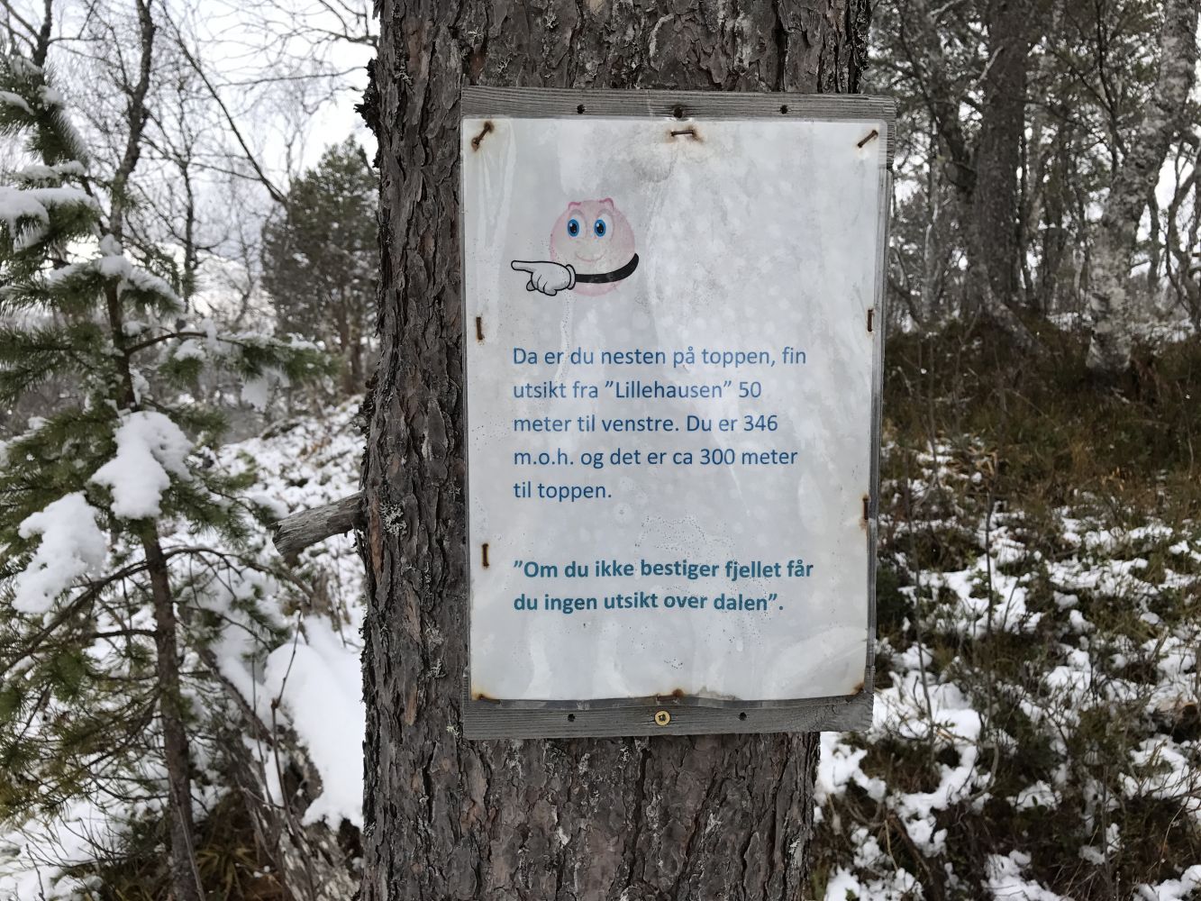
You will walk on an asphalt road for the first 200–300 metres before it changes into a gravel road for the following 1.5 kilometres. Then there is a forest road for the rest of the trail. You will encounter a somewhat wet section which is 200 metres long. There are no difficult or steep sections. Walk up from the car park for about 370 m. At the start of the trail you will walk past a boom gate on the old Årøseterveien Road. Take the turn to the right and follow the gravel road for about 1.2 km before you walk up to the left past a small building. From there, follow the path up to the top. There will also be a 150-long section of a tractor road. After you have walked for about 2 km, there will be a wet section (marshes) for about 200 m. You will also see several “posters” along the way that will tell you how far you have come and how much is left.
The endpoint of the trail is the Hausen hill which is 390 m a.s.l. high.
The trail starts from the car park by the Akerhallen Stadium in Årølia, Molde at 45 m a.s.l.
You can park your car by the Akerhallen Stadium and the Rivalhuset sports facility. No parking fee applies.
Duration
2 t. 35 min.

Sesong
Spring, Summer, Autumn
Signage
Both signed and marked
| Surface type |
Distance |
| Asfalt |
0,6 |
| Grus |
3 |
| Sti |
3 |
Yes. Take bus 701 from the centre of Molde in the direction of Årølia. Get off at the bus stop Akerhallen.
 Driving directions
 Route data
GeoJSON
Route data
GeoJSON