Walk along the old rural path to the Romådalen Valley. If you take the forest road back down, this will be a nice circular walk. The name “Haukarsteinen” (Eng. “The Shouting Stone”) comes from the time when people travelled to mountain farms in summer and had a tradition of shouting into the valley to scare away huldra, a forest creature found in Scandinavian folklore. Is there perhaps someone who still follows this tradition?
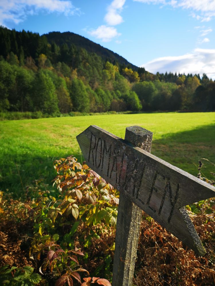
The trail starts at the sign for Romådalen. Follow the path up the hill. After ascending for a while, the path turns left and you will see a sign that reads “Høghjellbrekkå”. Just follow the path from here. The path crosses a forest road once on your way up. When you meet the road for the second time, follow that road for 30 metres before you find a new path on your left-hand side. Follow this path to Haukarsteinen. If you choose to follow the forest road on your way back, turn off that road just before you walk all the way down. Turn left after a large heap of gravel. The path you walk onto is the one you followed in the beginning. It will lead you back to the starting point. It is also possible to walk along the forest road all the way down and follow it back to the starting point.
Drive from Matkroken in Todalen in the direction of Kårvatn and the bridge in Bruset (2.6 km). Turn left just before the bridge and take Ramsøyvegen Road. Drive for 1.9 km along that road until you reach the starting point of the hike that is marked with the sign for Romådalen. There is no prepared car park there.
Distance
4,35 km both ways
Duration
1 t. 55 min.

Sesong
Spring, Summer, Autumn
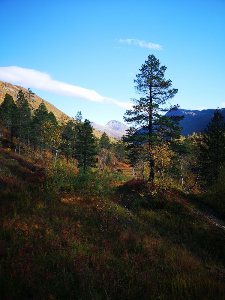
If you walk further into the Romådalen Valley from Haukarsteinen, you will come to a scenic area of smooth rocks by the river.
This is one of the fitness trails where the Todalen Sports Association (Todalen IL) set up their trail postboxes.
 Driving directions
 Route data
GeoJSON
Route data
GeoJSON