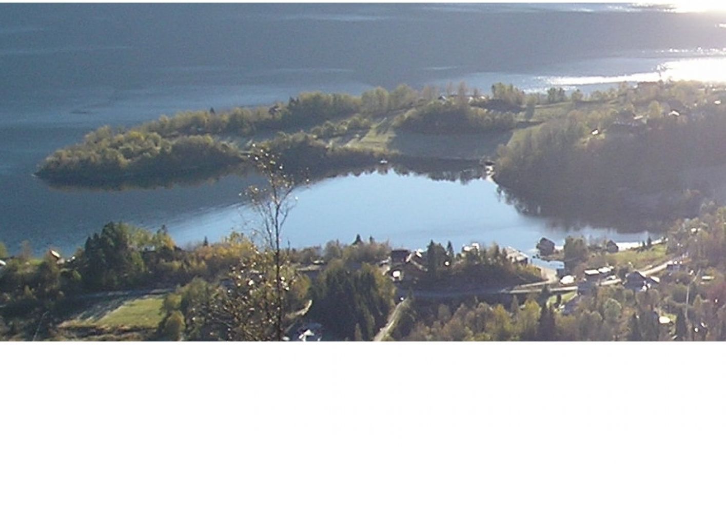
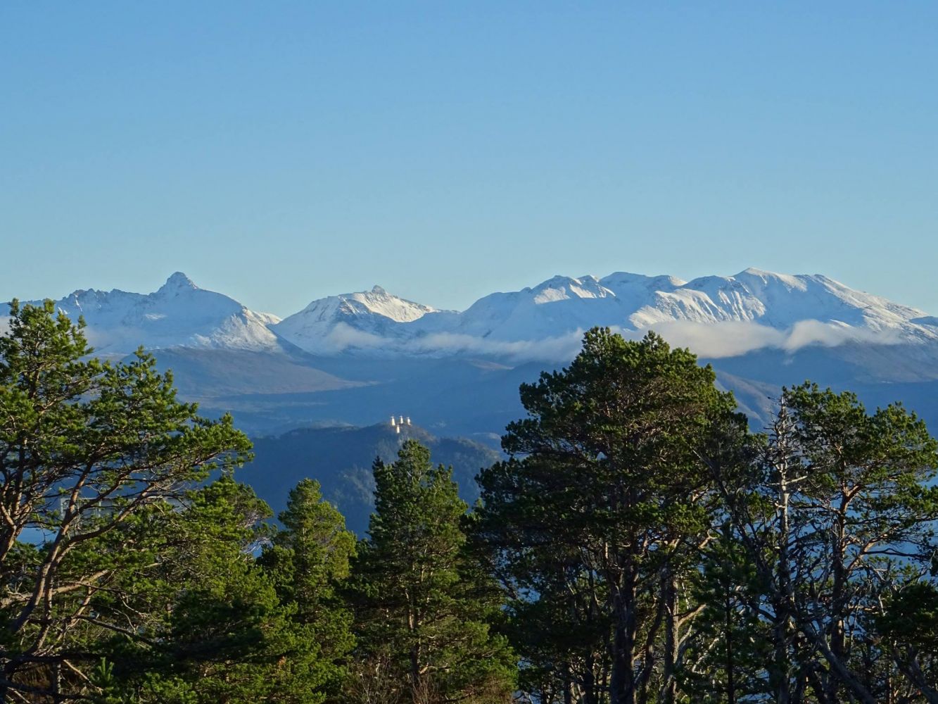
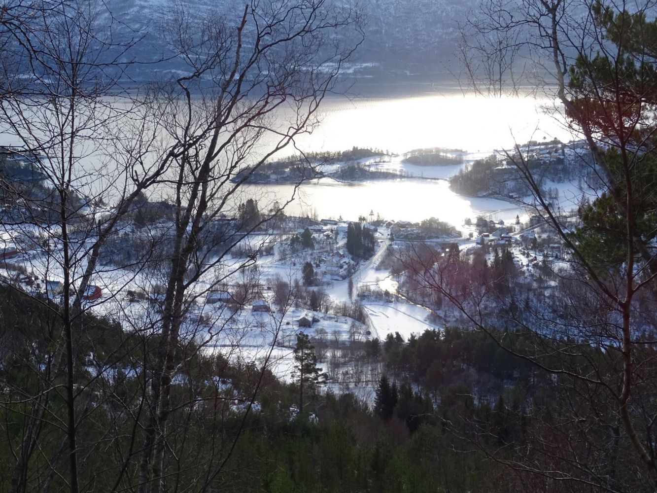
Haugtua (354 m a.s.l.) is the highest point between the villages of Glomset, Sorte and Valle. You will have a great view both west, north and south. On your way up from Glomset, you will also get a pleasant view towards the south. The trail takes about 1 hour on your way up and slightly less time as you walk down.A picnic bench where you can take a break is set up close to the end of the forest road. Once you reach the top of Haugtua, you will also find tables with benches, as well as a trail journal where you can register your name.
Route description
The trail starts from County Road 656 in Glomset. Follow the signposted road up to Storfjord Hotel through several farmsteads in Glomset. Then follow the forest road further up to Glomsetheia Hill. Once you reach its top, turn off to the north. Walk through this steepest section of the trail for a couple of hundred metres uphill. The trail will flatten out as it goes further northeast towards the top.
Access and parking
The trail starts from County Road 656 in Glomset. Follow the sign to Storfjord Hotel.
Find a suitable parking space along County Road 655 or along the road to Storfjord Hotell (under your own responsibility).