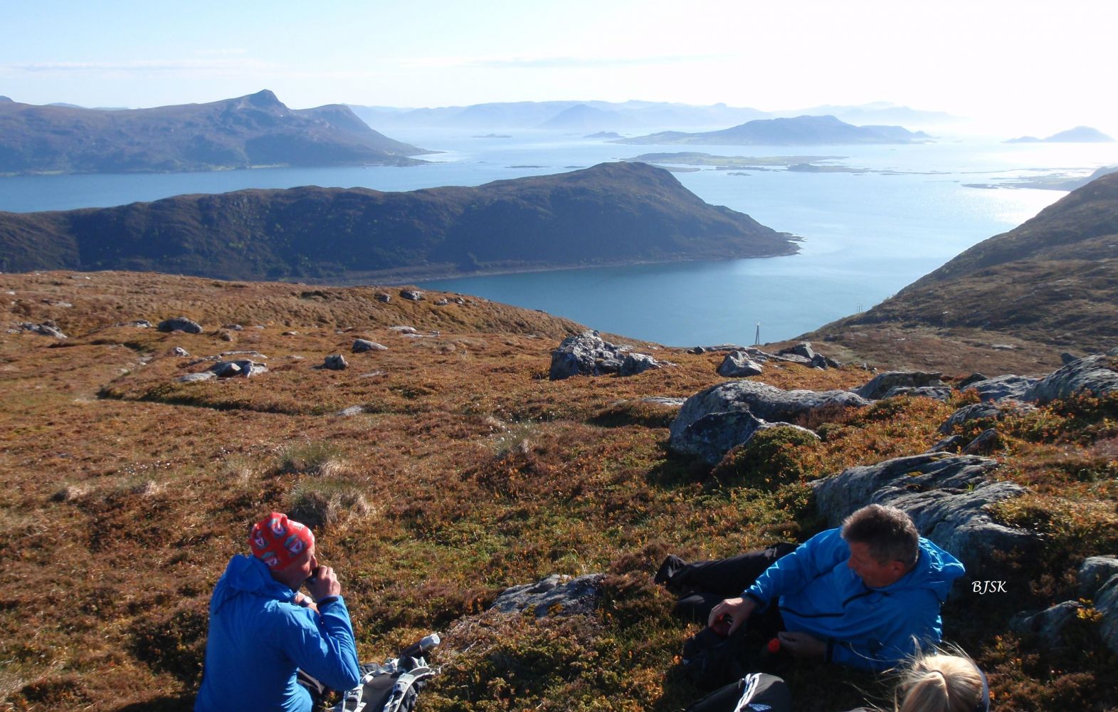
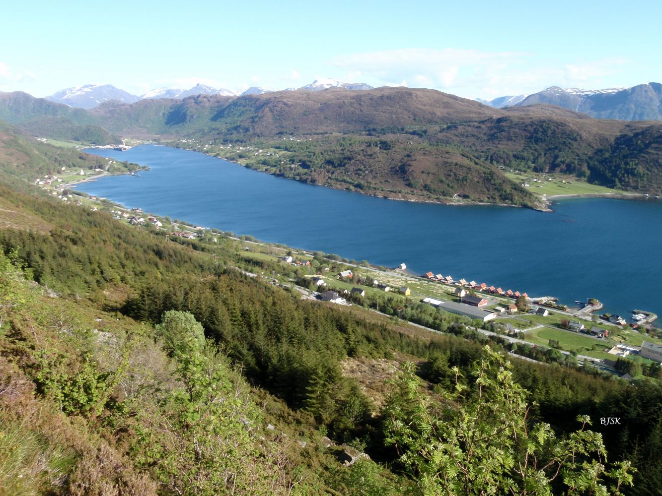
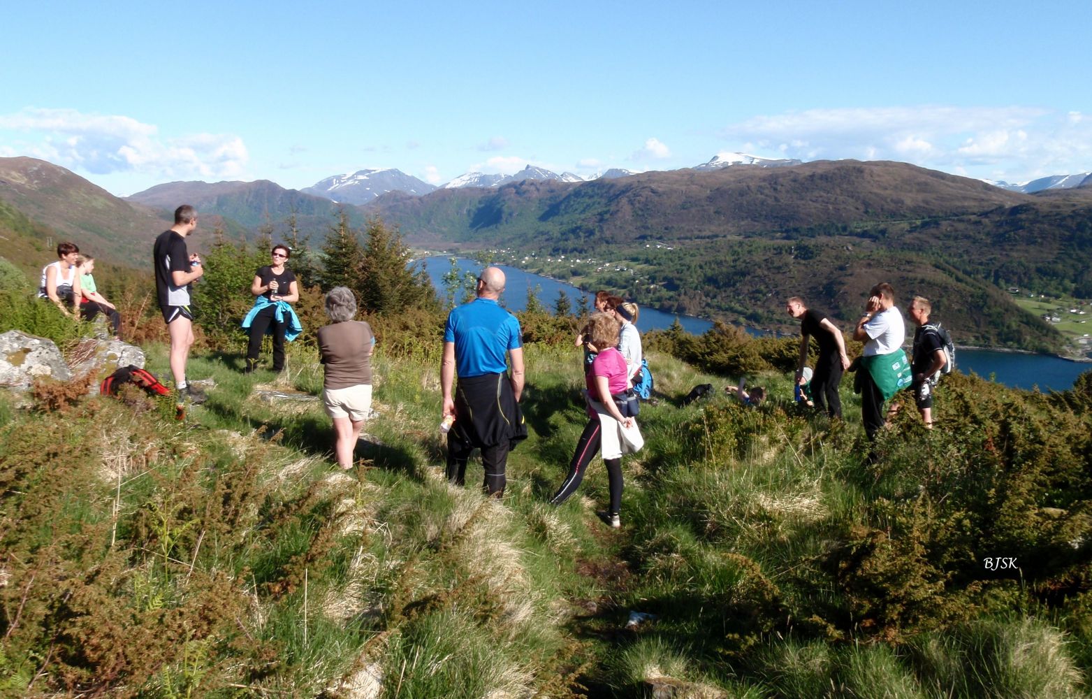
Haugshornet is a mountain peak that lies between Haugsbygda and Gjerdsvika and offers a view of Gjerdsvika and parts of the mountains in Sande. Parts of the trail follow the old farm road between Haugsbygda and Gjerdsvika. You will also walk past the remaining walls of old cattle sheds and peat huts in Dalen. The Gursken Sports Association (Gursken IL) has a fitness trail post on Haugshornet.
The starting point of this hike is in the Haugelia residential area. The path begins at the end of the upper road. Go northwest, and you will see two gates in the fence. Walk past the first one and follow the path as it enters the second gate. Continue following the path as it takes you through the forest, where there might be some wet sections. You will reach Dalen with the remains of old cattle sheds and peat huts once you are out of the forest. From here, the path follows the old farm road that climbs up the mountainside. When you come to the power line, follow the path along the ridge until you reach the top.
The starting point of the trail is in the Haugelia residential area in Haugsbygda. Turn off County Road 61 (FV61) in Gursken at the sign for Haugsbygda. Drive for 4 km and turn right at the sign for Vonheim. Drive for 1 km and turn right after you pass an old school. Continue all the way to the top of the Haugelia residential area.
Duration
1 t. 45 min.

Sesong
Spring, Summer, Autumn
Signage
Both signed and marked
| Surface type |
Distance |
| Asfalt |
0,1 |
| Sti |
1,5 |
Ytre Søre Sunnmøre hiking map, M711 1119 III, Sunnmorskart.no
 Driving directions
 Route data
GeoJSON
Route data
GeoJSON