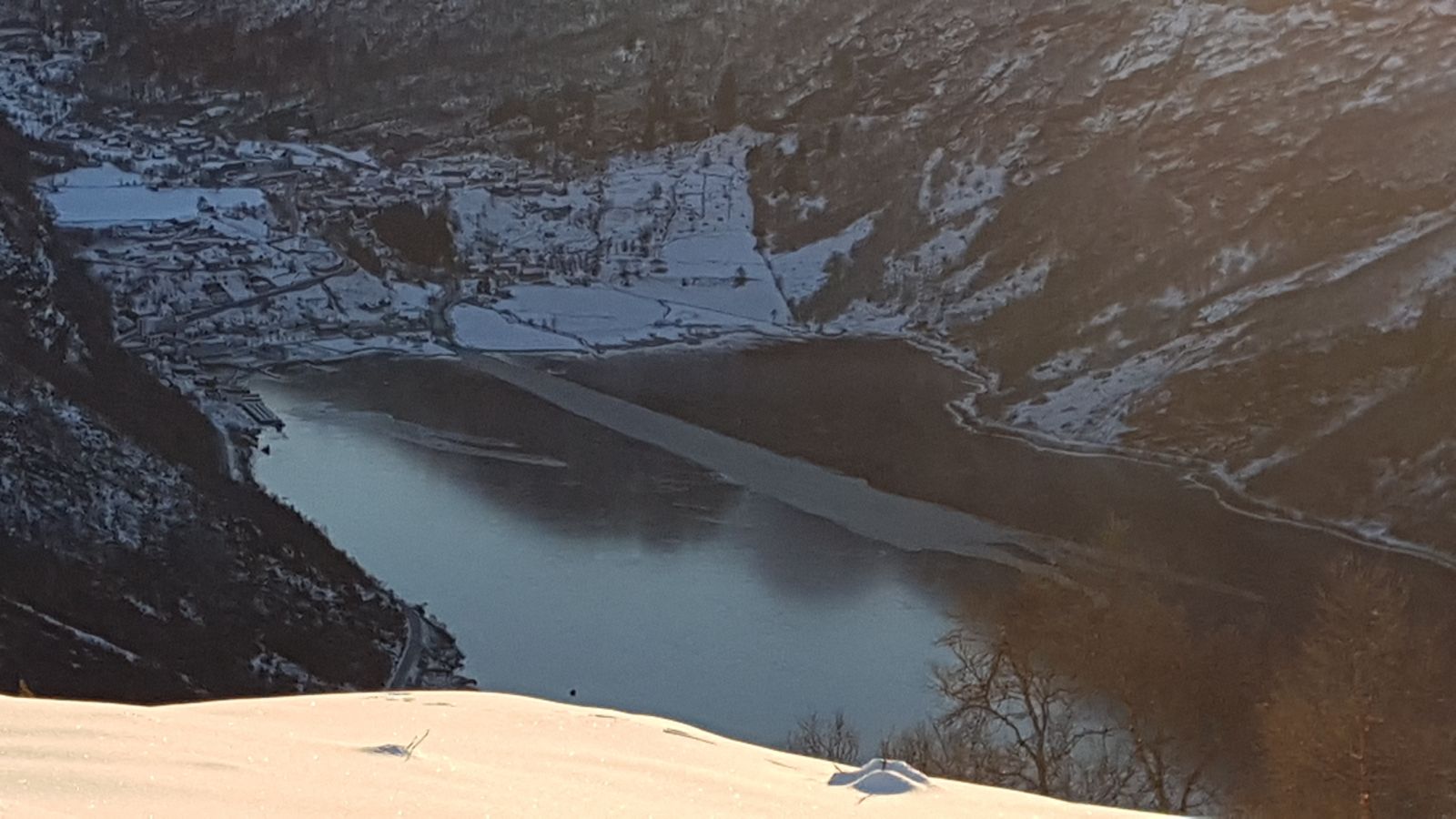
Haugsetsætra in Geiranger
Stranda
The hike to Haugsetsætra is about 2 km round trip. You will get an amazing view of Geiranger from the trail destination. The ascent from the starting point to the destination is about 30 m.
Cross FV63 from the car park by Korsmyra. You will see a Stikk Ut trail sign. From here, simply follow the groomed ski trails up to the destination point. Where there are two tracks, please keep to the left one.Be careful when crossing FV63 on your way back.
Duration
1 t tur-re

| Surface type |
Distance |
| Preparert med tråkkemaskin |
2 |
Tafjordfjella. Map of Stranda Municipality
 Driving directions
 Route data
GeoJSON
Route data
GeoJSON