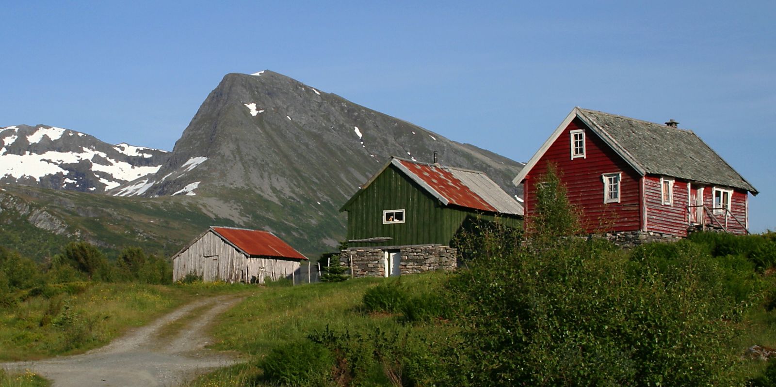
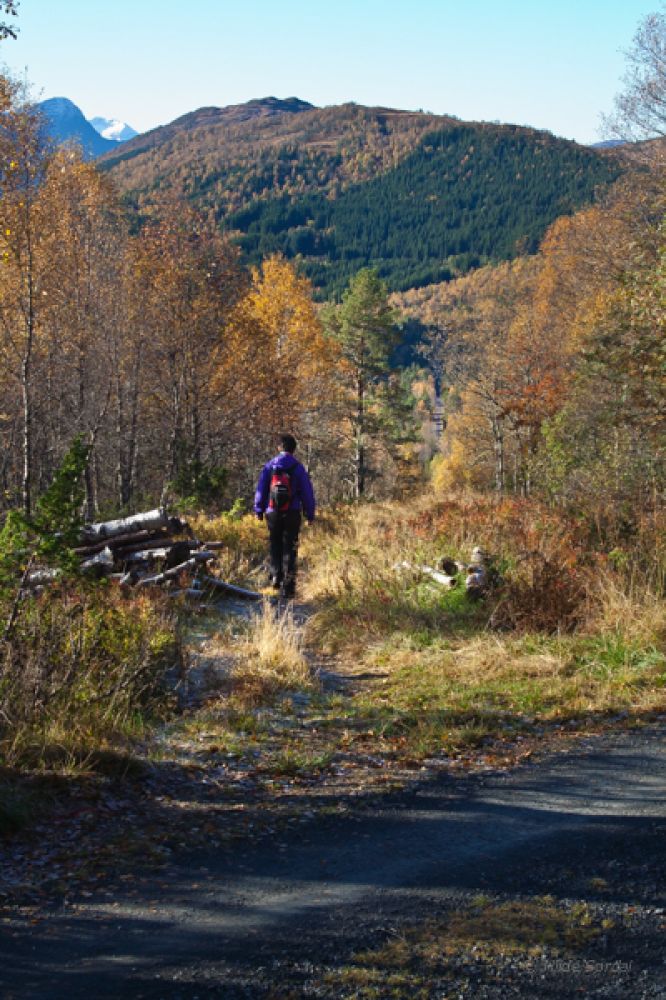
This trail runs through a beautiful birch forest and leads you to the mountain farm Haugsetra. The forest opens up from time to time allowing you to enjoy the view of Mount Giskemonibba in the south and other scenic locations. At some point along the trail, you will see a sign for the Mail Route (Postvegen) on your right-hand side and the straight road that runs down towards Kvanndalsvegen. Haugsetra is characterised by a more open landscape. Here, you will see both new cabins and some old farm buildings.
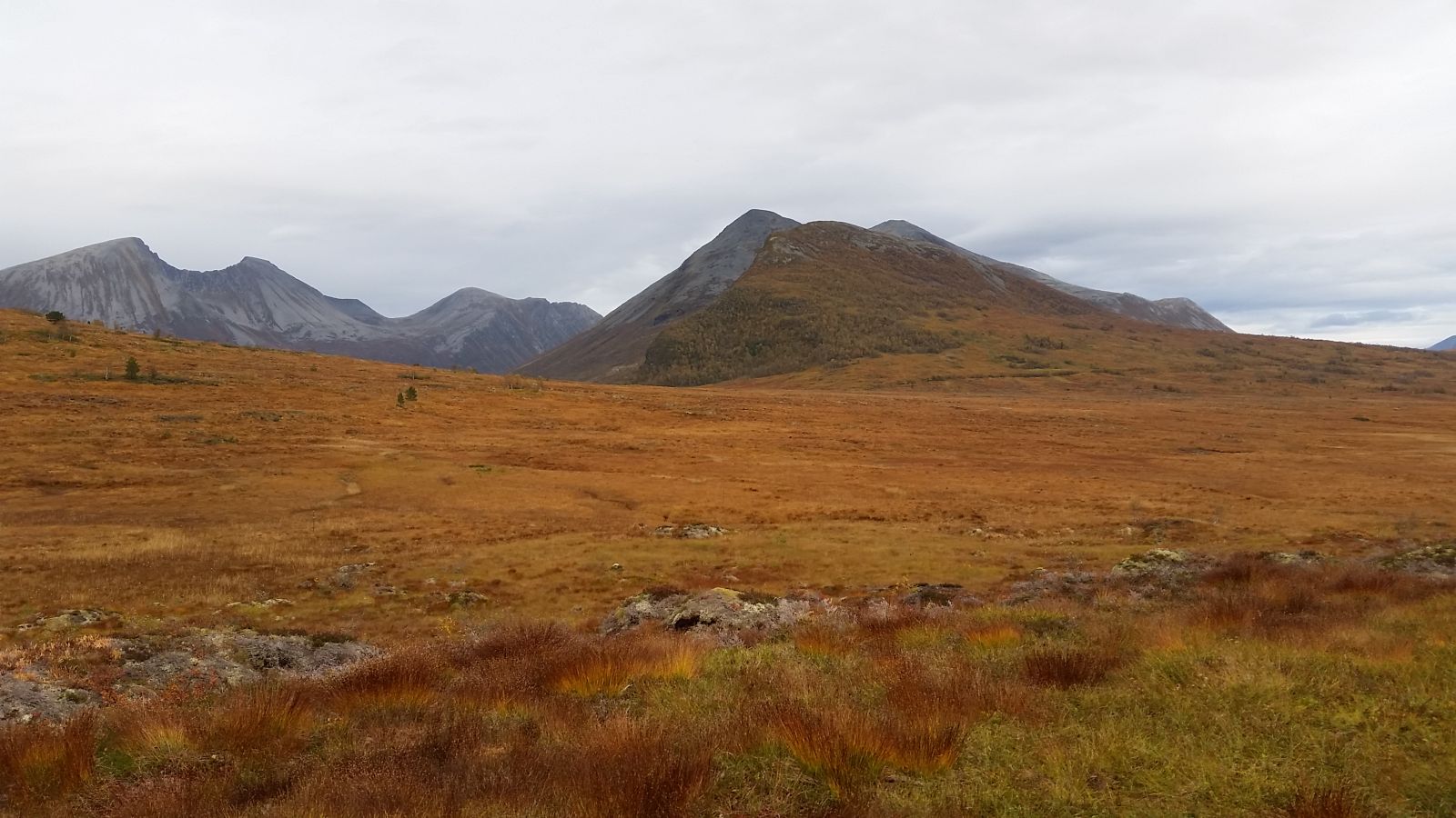
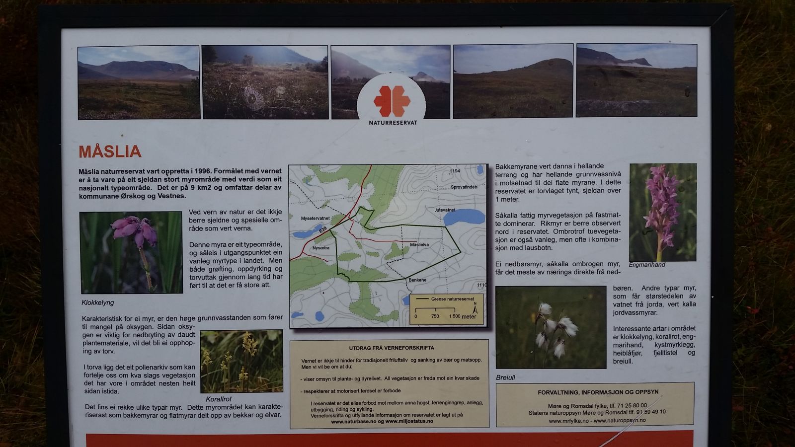
Start by walking from the bus near Fjellstova. You can also park in front of Fjellstova. Follow the signposted gravel road that branches off E39. The road takes you through a cabin area and past the Herdhytta cabin. Haugsetra is a perfect starting point for ski trips both in the direction of Lake Jutevatnet and Vaksvika.There is also a signposted hiking trail from the car park to Nyseternakken. From Haugsetra, the gravel road changes to a good-quality path that takes you further up a small hill just before you reach the cabin of the Norwegian Red Cross. Here, you will see an information board about the Måslia Nature Reserve which was established in order to protect this marshy area.From that information board, you will have a fantastic mountain view from Giskemonibba in the south to Snaufjellet, Koldafjellet, Geitnibba, Høgsvora, Næremstindane, Sprovstind, and Sandfjellet.
Drive along E39 until you reach Fjellstova Ørskogfjellet Cottages where this trail starts.
Park your car next to the bus stop near Fjellstova. Alternatively, you can park in front of Fjellstova Ørskogfjellet Cottages (subject to a parking fee in winter).
Duration
55 min.

Sesong
Spring, Summer, Autumn
| Surface type |
Distance |
| Grus |
3 |
The Måslia Nature Reserve was established in 1996 with the purpose of protecting an exceptionally large marshy area that is recognised as a representative area of national importance. The area size is 9 km2. It includes parts of Vestnes Municipality and t
Yes. Fram Ekspress operates bus routes past the starting point every hour.
 Driving directions
 Route data
GeoJSON
Route data
GeoJSON