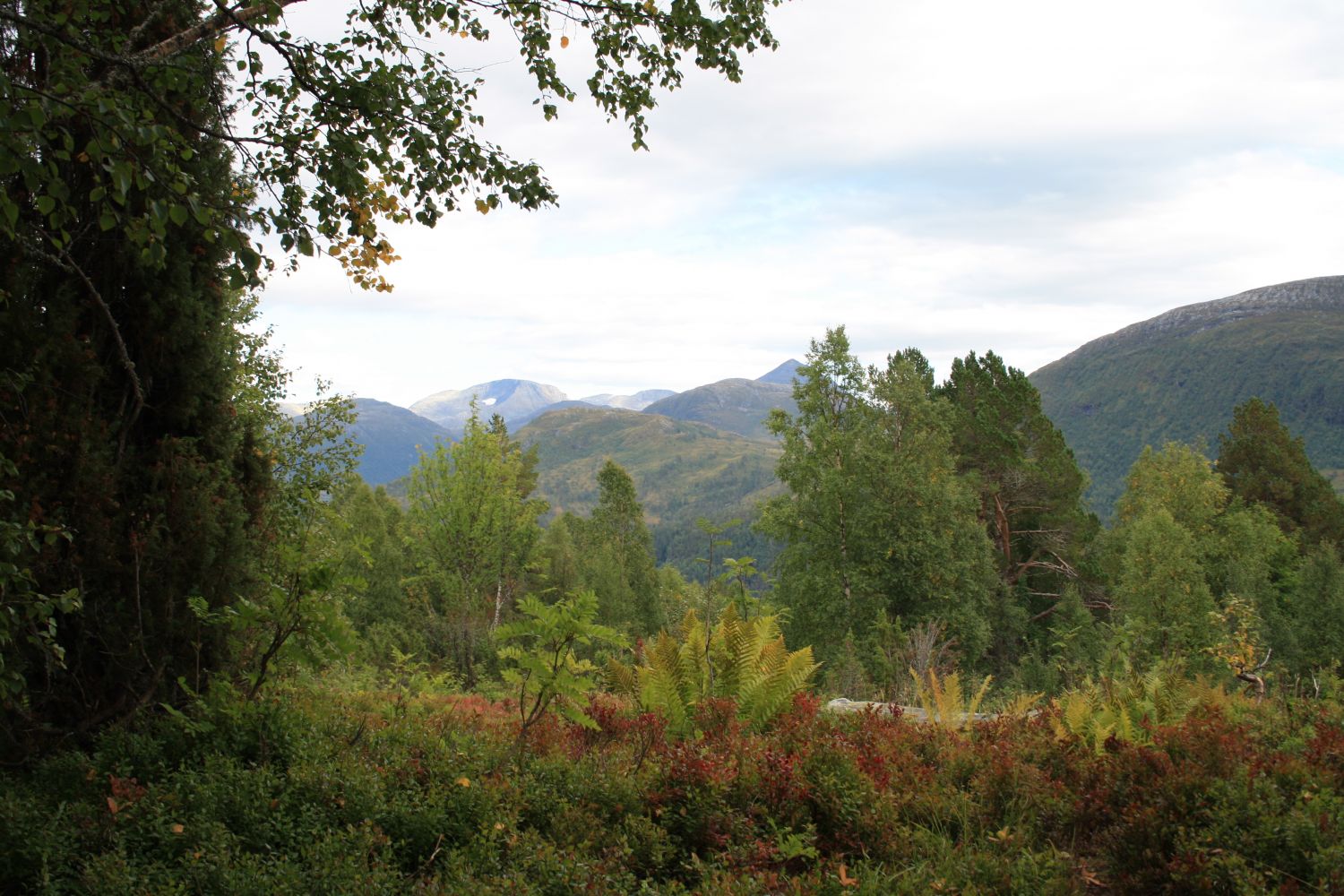
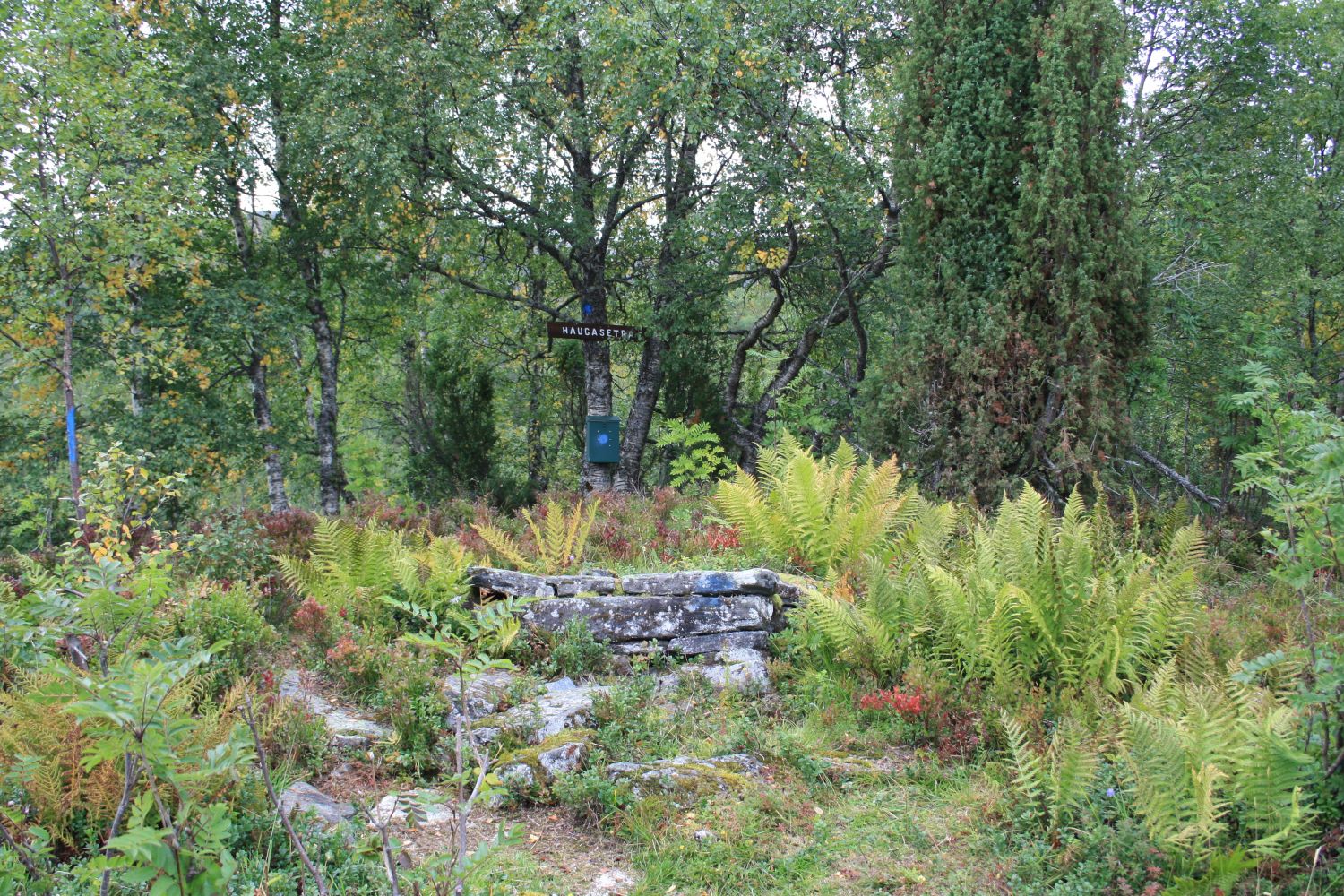
This 1.5 km long trail is quite steep and perfect for a quick evening fitness walk. The path is dry and solid, and it is easy to get to the starting point. The trail destination is the remains of Haugasetra, a summer mountain farm that used to lie on the hillside up here.
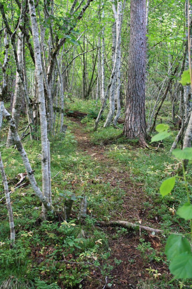
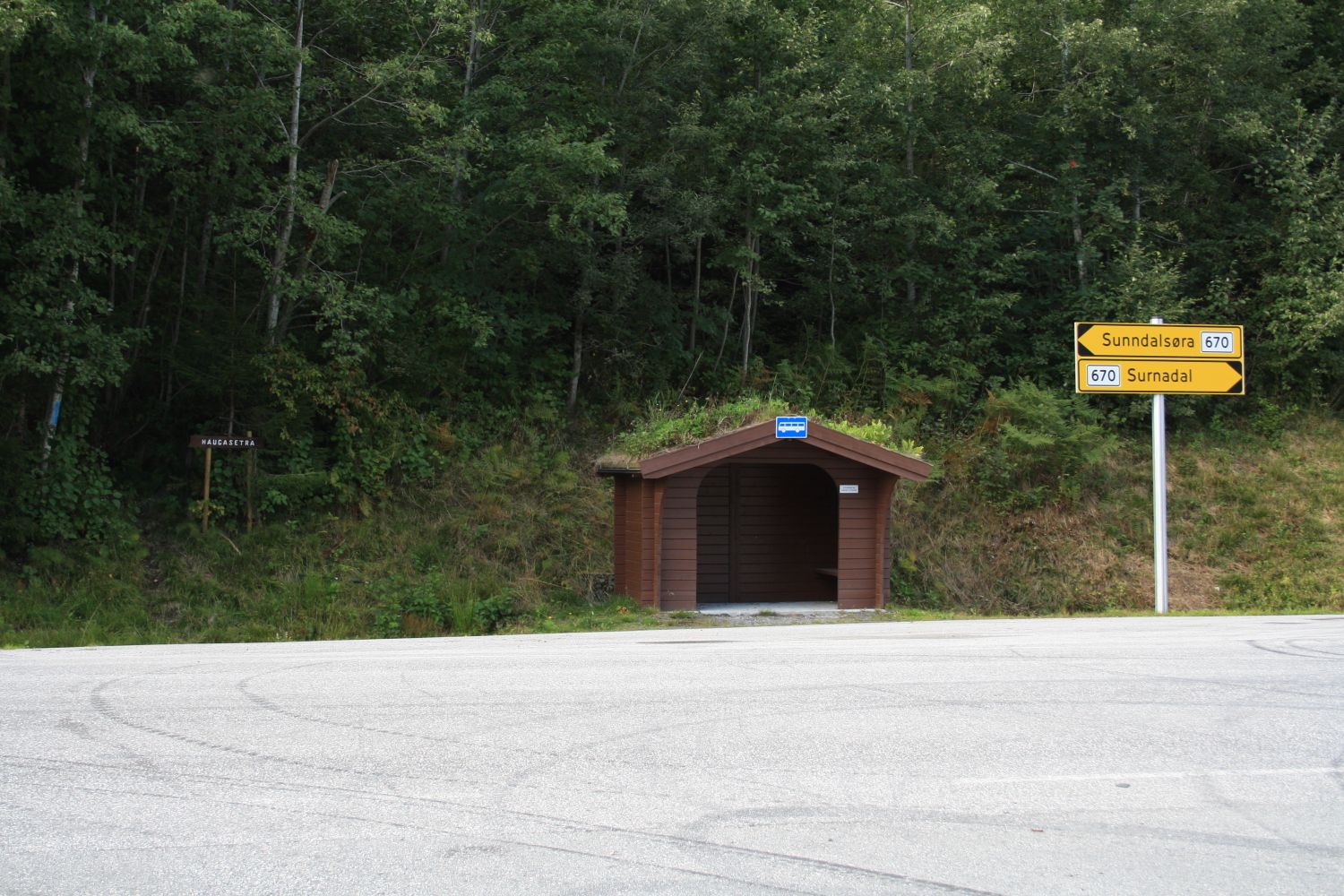
Walk from the car park back to the junction. Cross the road and walk onto a marked and clear path to the left of the bus shelter. After a while, you will come across a turn in a newly constructed forest road. Keep to the outer edge of the turn, cross the ditch, and turn onto a forest road that climbs uphill. Follow the marked trail up to the former summer mountain farm.
Drive to the junction in Todalen. It lies about 9 km from Skei in the direction of Kvanne. The distance between the ferry terminal in Kvanne and the junction is about 6 km. Turn onto Todalsvegen Road and leave your car at the car park on the upper side of the road shortly after the turn.
Duration
1 t. 35 min.

Sesong
Spring, Summer, Autumn
Signage
Both signed and marked
| Surface type |
Distance |
| Sti |
2,8 |
A number of bus routes run past the starting point, but because of the long waiting time between the departures, it might be difficult to use public transport for this particular hike.
The trail destination is the remains of the oldest summer mountain farm used by the farmers of Hauga. The summer mountain farm was in operation until 1925. After that the farmers used another summer mountain pasture in Kvenndalen. There are no buildings here today, but you can still see traces of former activities in the area. For instance, there is a stone structure that used to lie at the entrance to the farm.
 Driving directions
 Route data
GeoJSON
Route data
GeoJSON