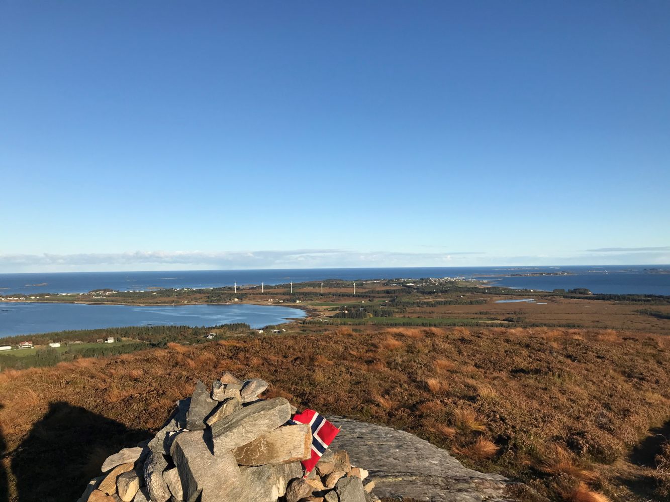
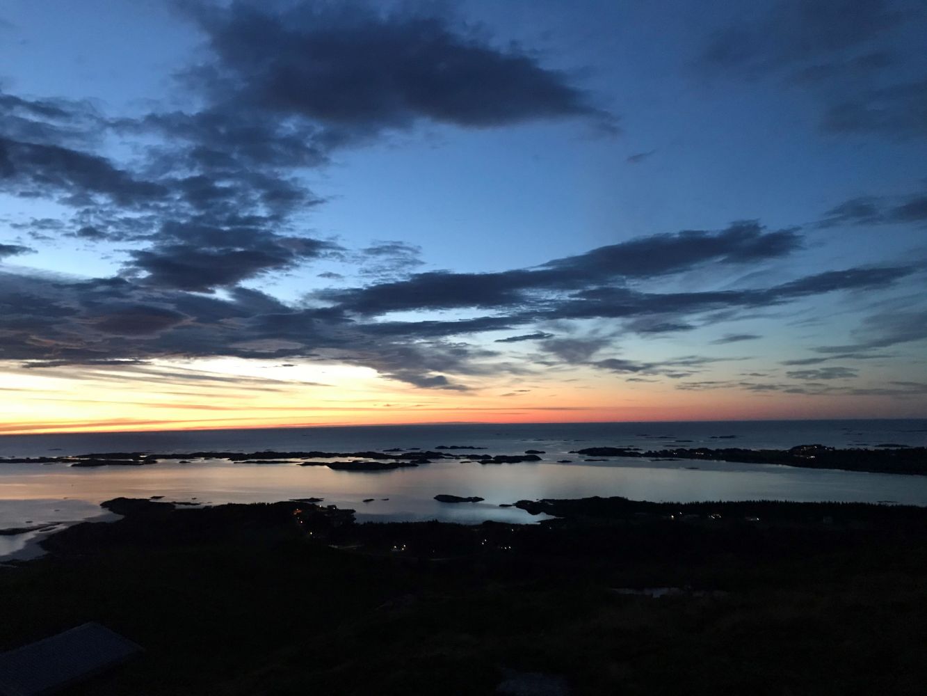
Harøyburet with its 156 metres above sea level is the highest point in Sandøy municipality which offers a fantastic view of the neighbouring islands towards the south and the north. This is a perfect walk for the whole family, and you will need about 20 minutes to get to the top. The trail climbs steeply up for the first 50 metres. Then it flattens out and you get a beautiful view.
Route description
Start walking from the car park and follow the path that goes up past the boom gate. Follow the clear path as it climbs uphill along the slope. Keep to the right at the fork in the path for the fastest way up. Once you are at the top, you will easily find a trail postbox with a Stikk Ut code and a trail journal maintained by the Harøy Sports Association.
Access and parking
When you see a Stikk Ut sign by the main road, drive up the tractor road and park your car where the road ends.
Hiking route
Blue
Distance
4,93 km both ways
Elevation
183 m
Duration
1 t. 40 min.
Sesong
Winter, Spring, Summer, Autumn
Highest Point
154 masl
Signage
Both signed and marked
Mobile coverage
Map route
Surface type
Distance
Asfalt
0,3
Sti
4
Public transport
If you take a ferry or an express boat to Myklebust, you can walk to the starting point of the trail. Follow the sign to Steinshamn from the ferry terminal (to the left) and walk until you see a Stikk Ut sign about 1 km along the main road.
If you take a ferry to Finnøya and bring a bicycle, you can cycle to the starting point of the trail for about 10 km. Follow the county road across the island of Finnøya, along the harbour mole and through the centre of Steinshamn. Continue cycling straight ahead until you come to a junction near the school/day-care centre. Take the road that goes straight ahead from here. You will cycle past the Harøy church along the way. Continue cycling until you see a Stikk Ut sign at the side of the road.