Holstadhornet from central Hareid
Hareid
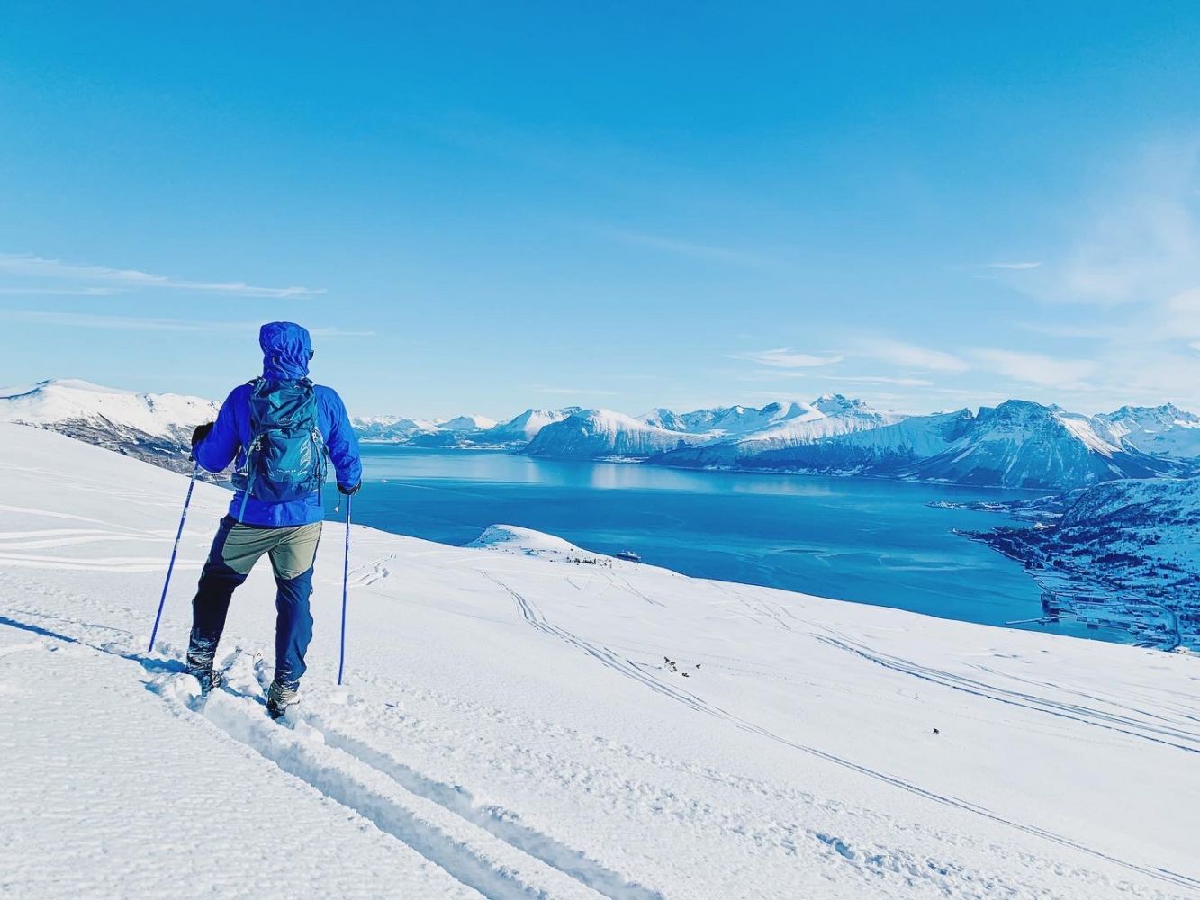
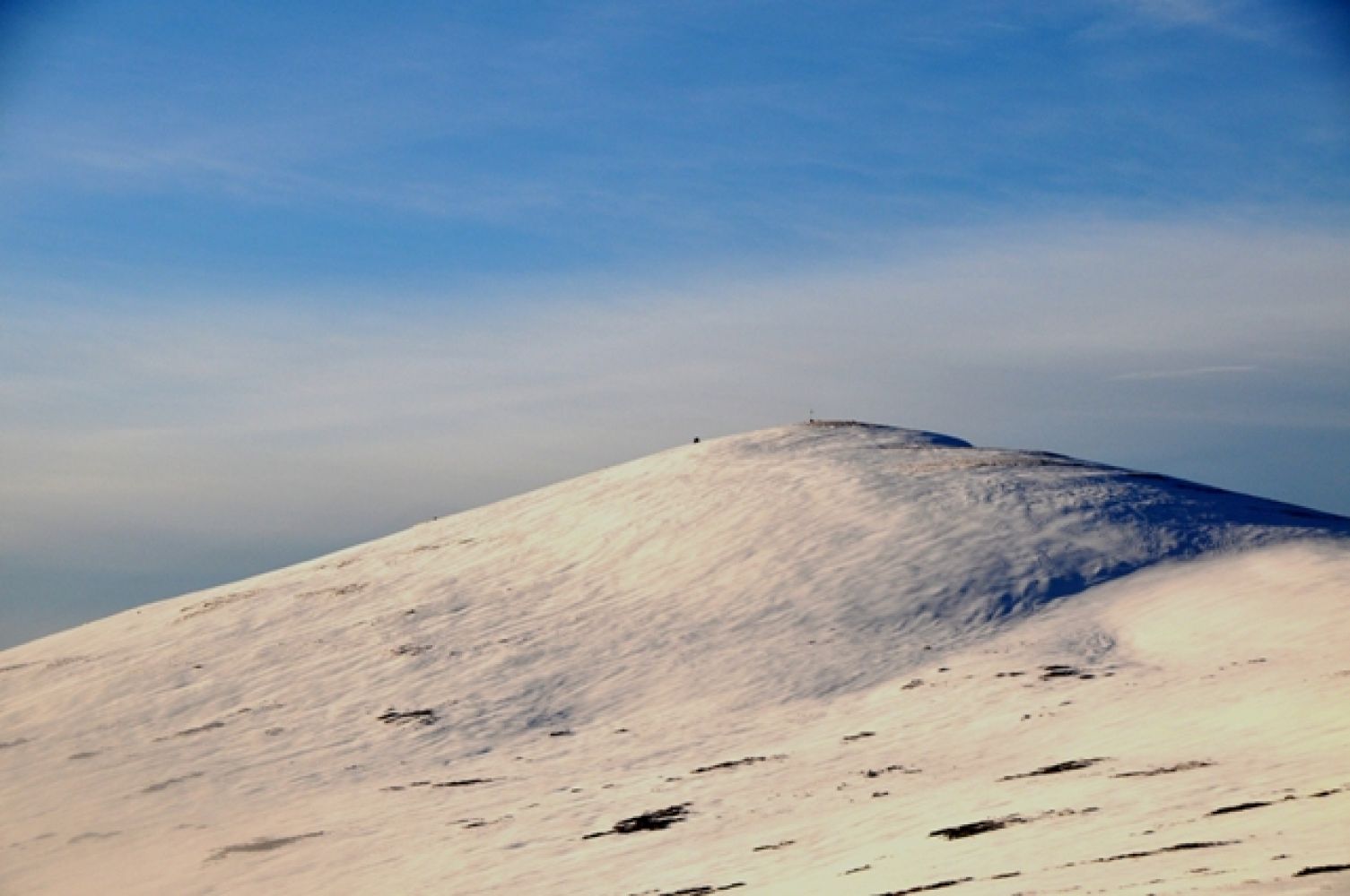
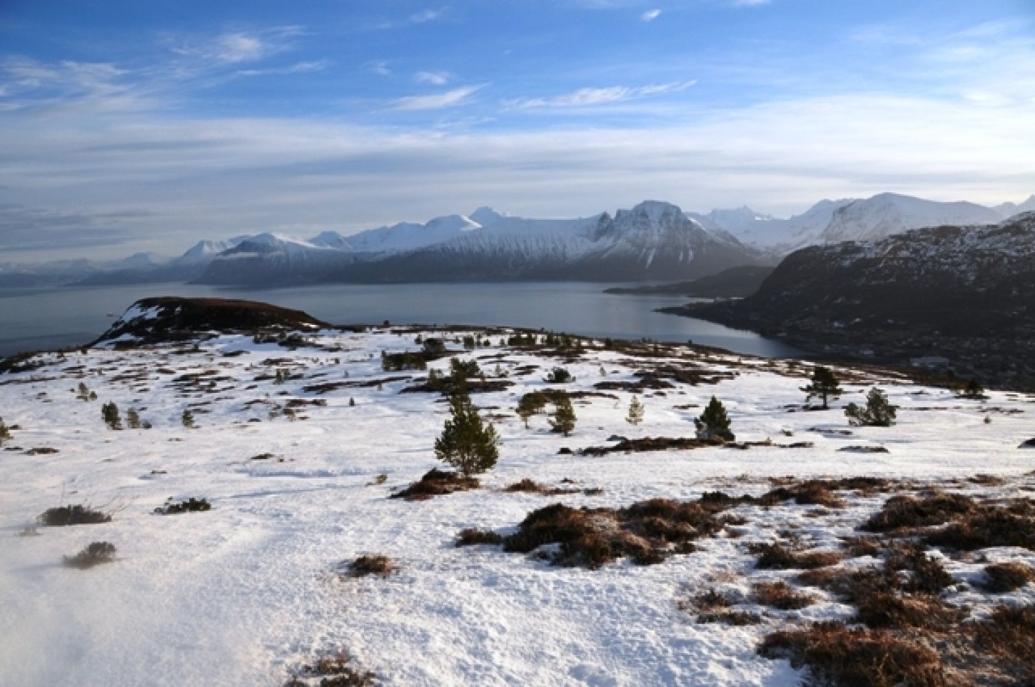
Holstadhornet on the north side of central Hareid is a natural destination for both those looking for an easy summit hike and for those seeking to explore more of the mountain on the north side of the Hareidalen valley. The broad mountainside up to the top faces the sun. If snow conditions are good, you can continue through "Grimstaddalen" valley and out to the centre peak of the Brothers mountain range (620 m.a.s.l.). This is not exceedingly difficult, but it does require strength and stamina, especially if you plan to continue to Skolma by the Breisundet fjord. As the mountainsides are very steep, the Køyrevegen trail from central Hareid is a good alternative. This trail, laid with stone, was once used for transporting peat from the marshes. It winds all the way up to the edge of the mountain located 250 m.a.s.l. The view from the top of Holstadhornet is especially good to the north (Nordøyane islands, etc.) and to the south and east (Sunnmøre Alps).
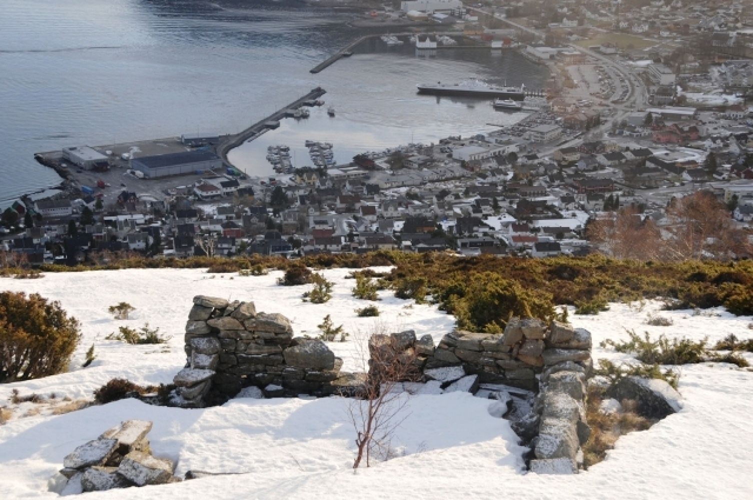
When coming over the fjord from the north, there is no need to bring a car. You can carry your skis from the harbour to the start of Køyrevegen, which leads up the mountainside. The uncleared Køyrevegen (with a stone fence on both sides), leads from Hovlid in the east – first in a loop to the right before turning towards the left by the large, flat Merkarsteinen stone. After a heavy snowfall, the trail can be difficult to access. But when the trail is used over time, it becomes easier. The route is not too steep and can be ascended using climbing skins on your skis, although most people remove the skins at Merkarsteinen – or just above it. From Merkarsteinen, Køyrevegen is often covered by snow, but it can still be visible as a cavity on the mountainside. Just before the road flattens, you will see the foundation of the old summer pasture barn down to the left. This spot has a good view of the village and mountain range to the south. Many people stop for a bite to eat among the ruins here. The wooden construction blew off during a New Year's hurricane in 1992. In late winter and around Easter time, sections of the Køyrevegen exposed to the sun are often bare. During this period, there is also icy snow further up. Along the mountain ridge, the route up to the top is visible whether or not a trail has been laid by skiers.
From the Statoil petrol station just north of the ferry and express ferry docks, you can easily carry your skis up the Hjellebakken hill and continue onto Teigevegen until you reach the junction at Hovlidvegen. About 50 metres to the left on Hovlidvegen you will see Torkelvegen, which continues up to the right. About 200 metres up the hill, the road flattens out, and about 50 metres after that, you will see a smaller side road to the left. At the end of this road, continue alongside a stone fence to the left of the old barn (Torkelløa), up to the dilapidated Hovlid farmhouse, and on to the "Køyrevegen" trail, which is marked by a stone fence on both sides. NB: About 100 metres up the Køyrevegen trail, you will see a clearing in the woods to the left, which is the Hovlid football pitch. It was here that Åge Hareide laid the foundation for his career as a professional and national team football player, and later coach of the men's national football team.
Parking below the Hareid nursing home. Free parking.
Skiing route
Blue fjellski
Duration
2 t. 10 min.

You can take a ferry, express ferry or bus to central Hareid.
Topographic map series M 711 - page 1119 I Ålesund
 Driving directions
 Route data
GeoJSON
Route data
GeoJSON