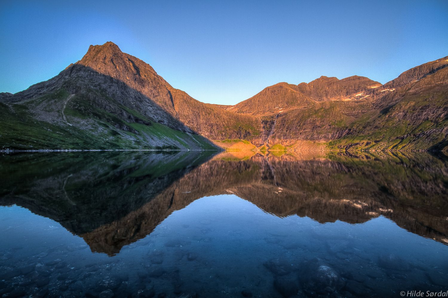
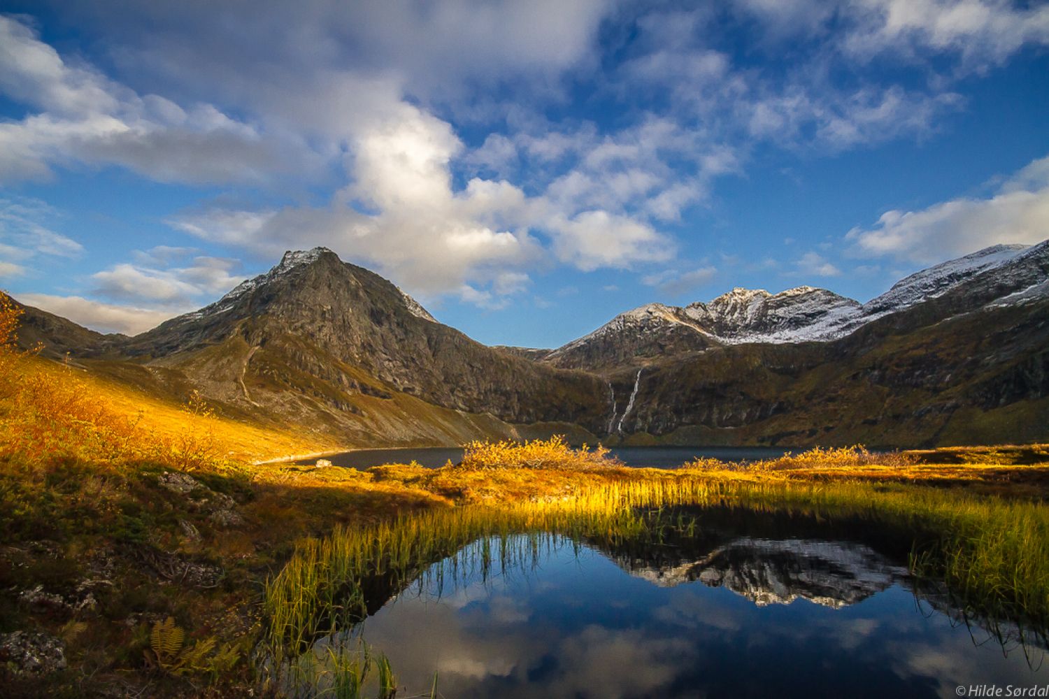
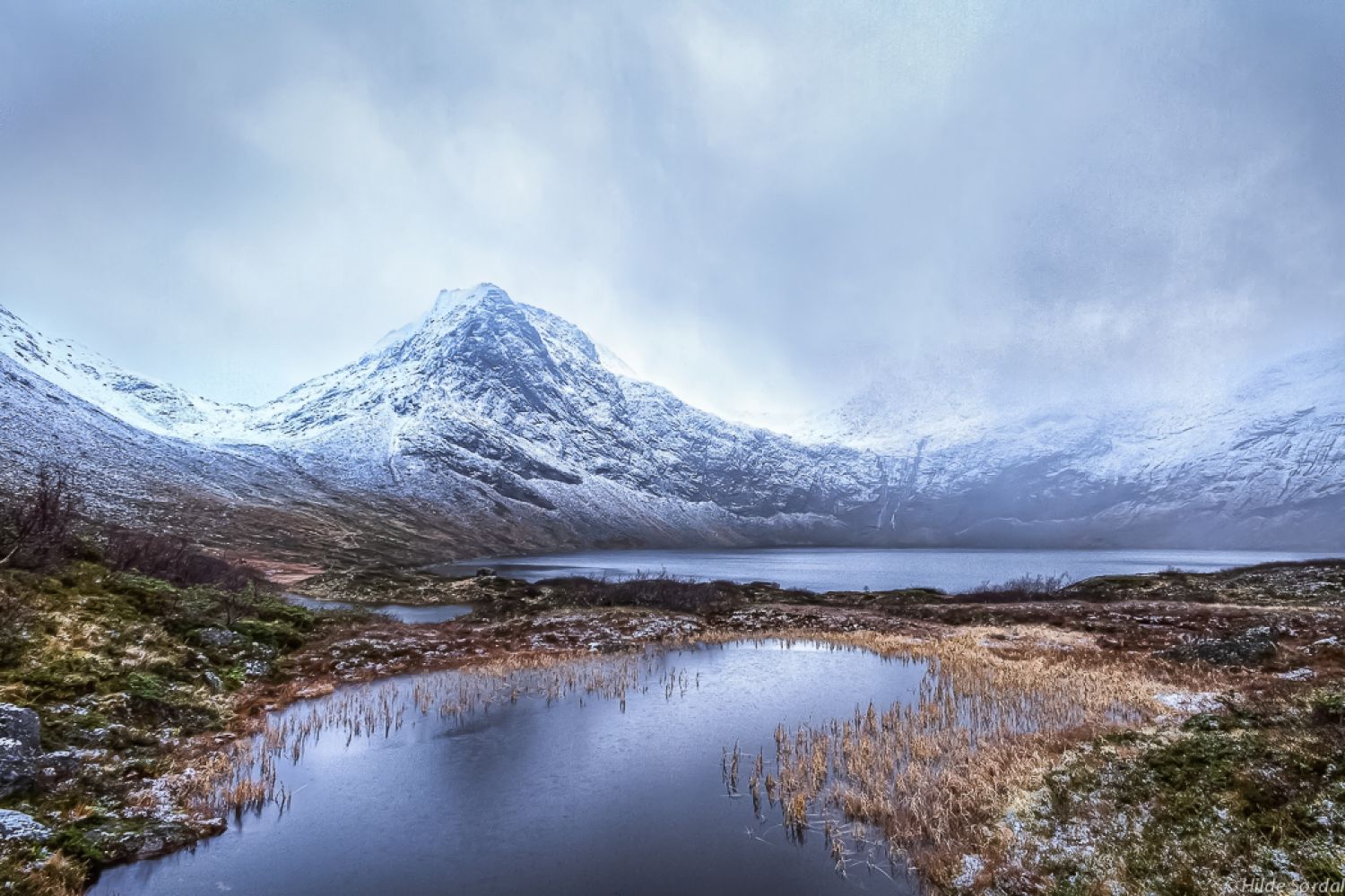
A nice trail from Grytalisetra that lies at 400 m a.s.l. to Lake Grytavatnet surrounded by the highest mountains in the former Ørskog Municipality. The trail is 3.7 km long. It follows a clear path with some rocky patches. Grytavatnet is the biggest lake in Ørskog. It is deep and lies in a north-facing terrain so that the ice can remain here until at least the middle of May. There is a lot of fish in the lake (remember to get a fishing licence). You will get an amazing view over Lauparen, Storbotnhornet, and the Skorkja mountains.
The motor road goes all the way to Grytalisetra from the municipal road over Vaksvikfjellet. This section of the road is subject to a toll fee. The trail starts at the uppermost house on the farm. You will see a clear path here. It may be quite wet in the beginning, but there are several planked footpaths here to step on. The trail gradually ascends through the terrain with some features of a moraine landscape. After about 20 minutes, you will pass a river that flows out of Lake Heivatna. From here, the path goes slightly uphill before flattening out along the river. Follow the main path as it continues along the river, bends slightly to the right, and goes over marshland with some rocky patches and uphill sections. You will soon see Lake Grytavatnet. The path splits in front of a signpost, about 150 m before you reach the lake. One of the paths leads up to Mount Lauparen, the other one goes down to the lake and further to a big stone, Monssteinen. This is where you will find a trail journal and a code.
Turn off National Road 650 (RV650) between Sjøholt and Stordal in Vaksvika. Drive east along the county road towards Tresfjord. You will drive past the farms in Vaksvika and Vaksvikfjellet Camping. After about 5.5 km, you will reach a junction where a toll road to Grytalisætra begins to the southeast.
There is plenty of parking space in Grytalisetra.