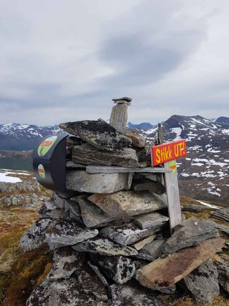
This is a lovely trail with an amazing view. Once you reach the top, you can see large parts of Nordmøre in the north, as well as the magnificent Romsdalsfjell mountains in the south. The trail involves some climbing, but it is still a wonderful hike for the whole family.
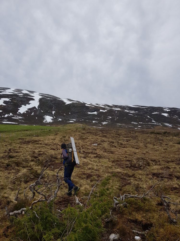
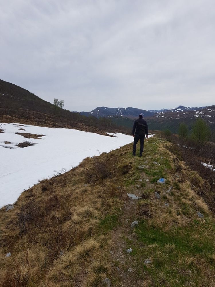
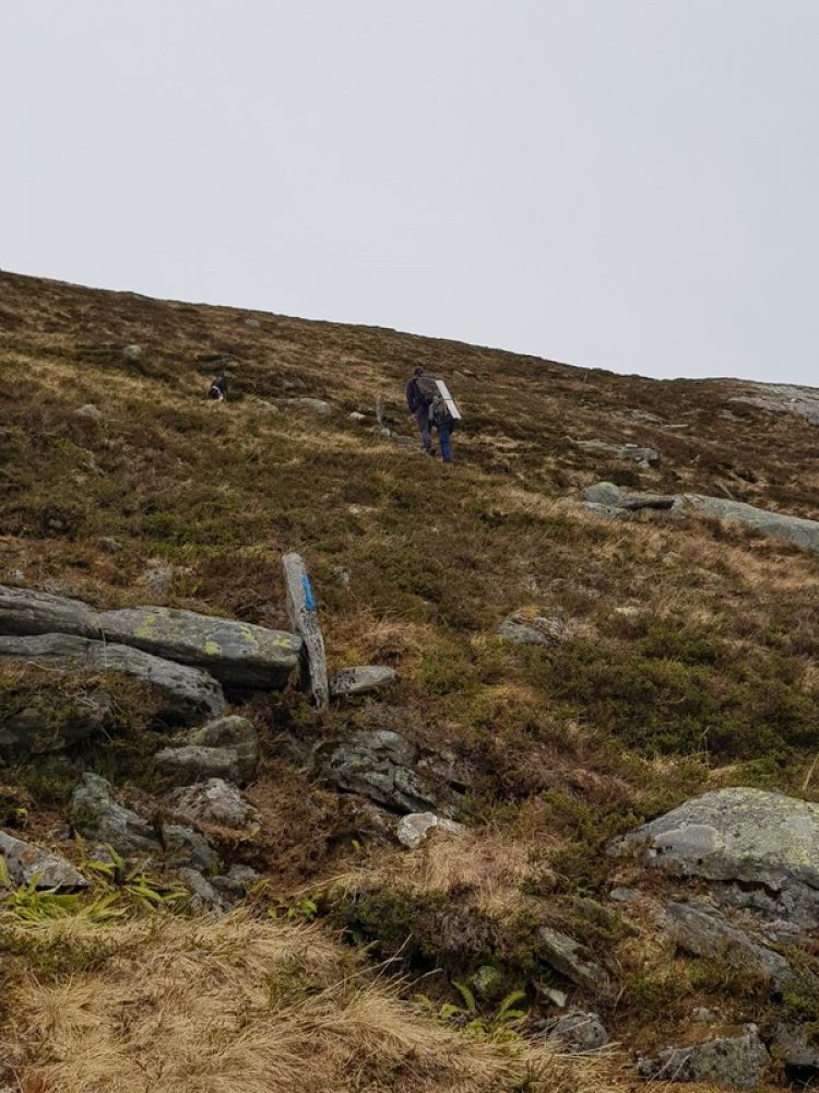
Start walking from the car park (520 m a.s.l.) following the waymarks upwards. The first section of the trail is a bit marshy, so keep to the waymarks near the fence to avoid getting wet. Once you reach the height of 730 m a.s.l., the trail will get steeper and you will walk along a clear path, partly through sections of scree. You will then reach Litjbotn, a perfect place for taking a short break and refilling your bottle with water before you begin climbing up through the final section of the trail towards the cairn at the top at 920 m a.s.l.
Drive along National Road 660 (Rv660) to Vistdal. Turn off onto County Road 190 (Fv190) at the sign to Lange. Continue driving from there until you see a sign that reads “Langedalen/Måsvassbu/StikkUT!”
Drive further into the Langedalen valley for about 7 km until you reach a car park near Fellesbeitet. Remember to pay the toll fee of 50 NOK. We encourage you to use the fenced-in car park because of the farm animals grazing in the area.
You can park your car at the fenced-in car park which we encourage you to use because of the farm animals grazing in the area.
Eresfjord 1320II, Møre and Romsdal, Nesset
 Driving directions
 Route data
GeoJSON
Route data
GeoJSON