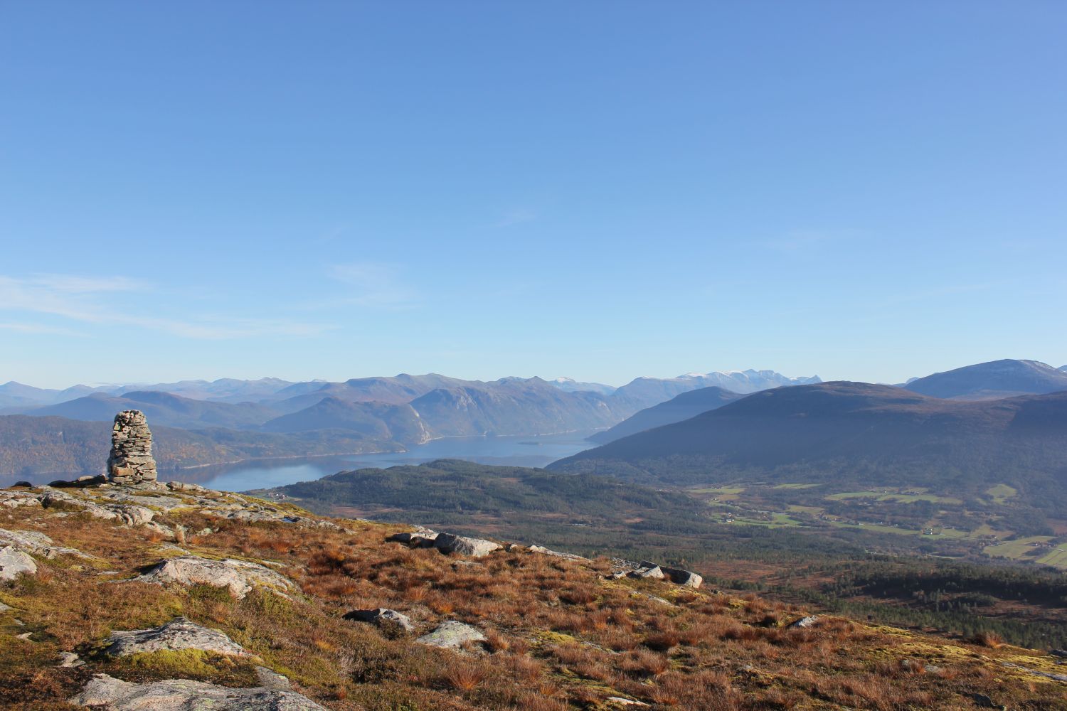
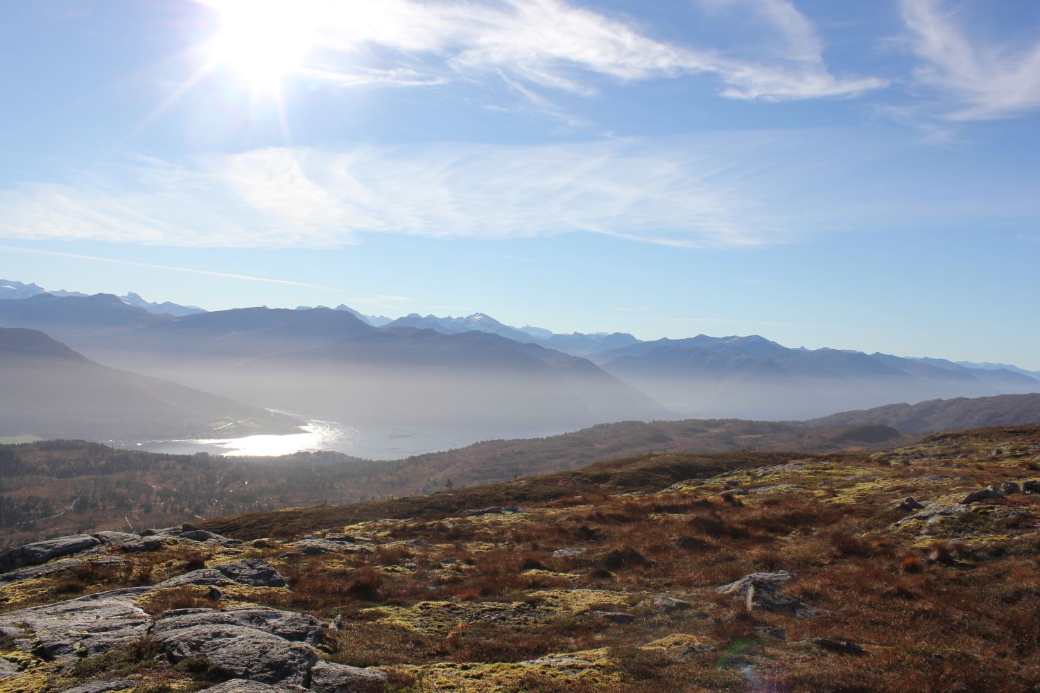
This is a nice trail with an amazing view of both Molde in the west and Gjemnes in the north. From the top of Mount Grønnfjellet, popularly called Skåla, you can also see the magnificent Sunndalsfjorden. The trail is also perfect for skiing in winter.
Follow the road for about 2.6 km past both “Doktorsvingen” and the “Fjellbrua” bridge before the road turns into a path. You will experience a gradual ascent along the entire trail. The first part of the trail goes past a group of cabins and then continues over to a short marshy patch before the start of a slightly steeper section. The path is marked with poles that have light-reflecting elements on them. You will then start approaching a tree line with a slightly easier terrain before climbing up two steep hillsides towards the cairn at the mountain top.
Turn off National Road 62 (Rv62) about 3 km west of the centre of Eidsvåg. Drive along Øvre Veg for about 2 km. Park your car on the left side (the upper side) of the road if you are coming from the west.
You can park your car along Øvre Veg.