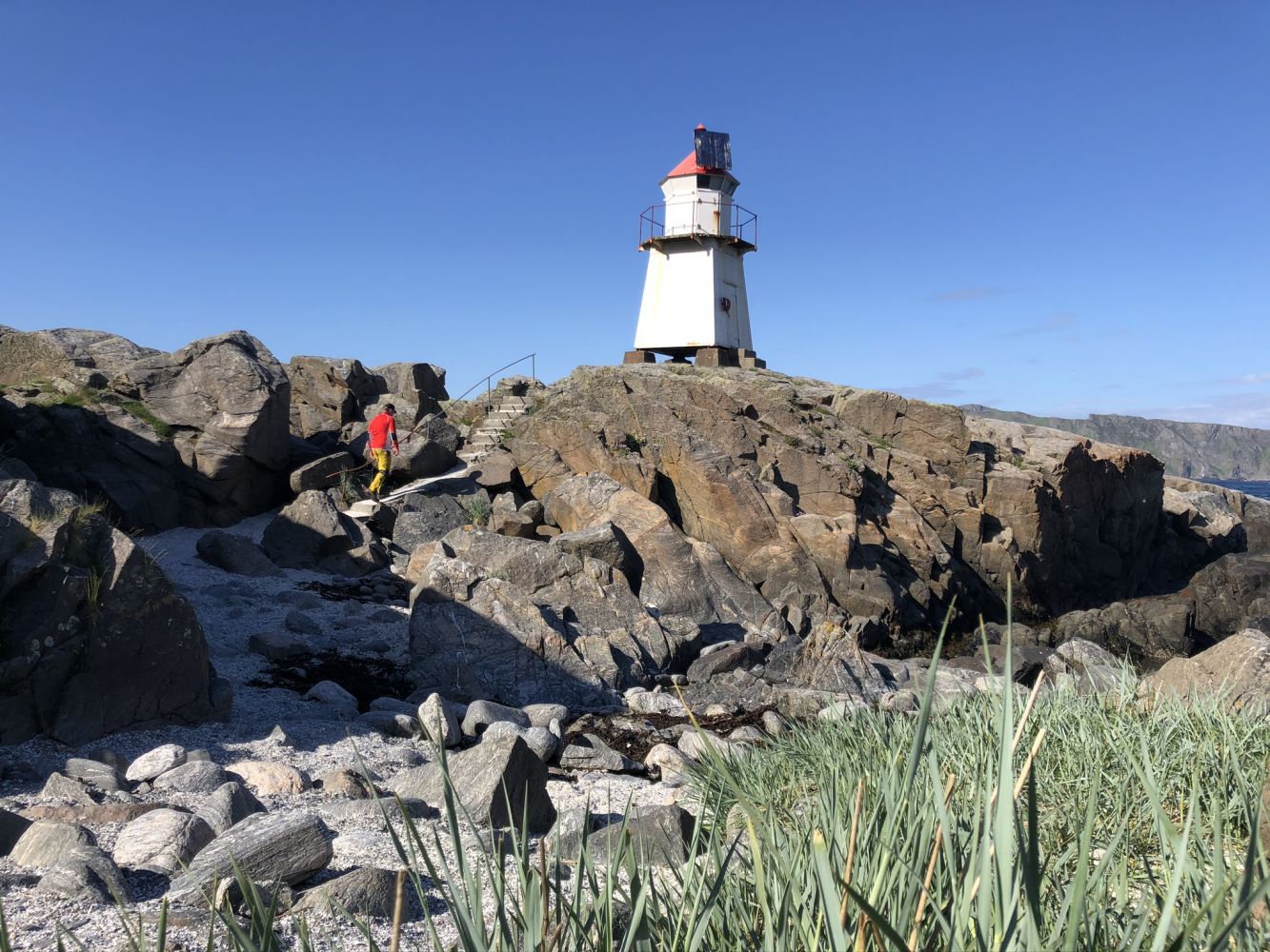
This short hike takes you to the northernmost point of the island of Nerlandsøya – Golleneset Lighthouse. This is where you meet the ocean, and the long coast is a perfect place to enjoy a sunset.
Route description
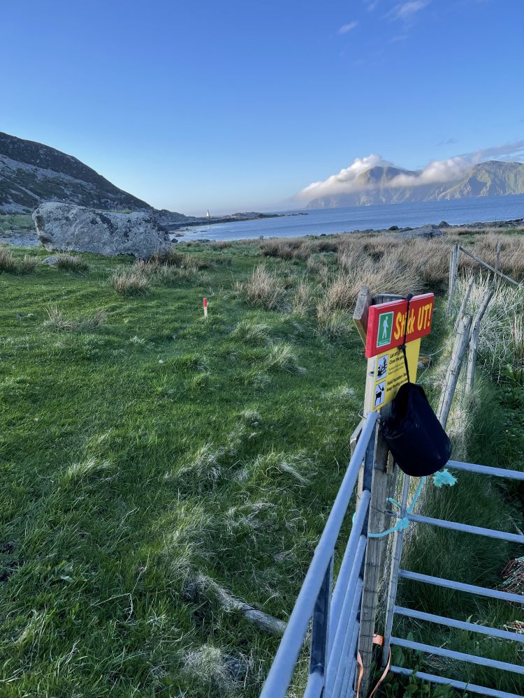
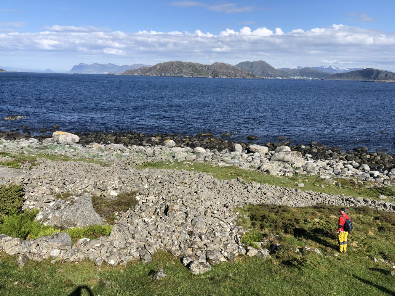
The hike starts from the car park by Hamnevegen Road in Kvalsvika. The path runs over some pastures for sheep – please show your consideration. On your way to Golleneset, you will walk past Kjemperøysa, a burial mound that is believed to have originated from the Bronze Age some 3500 years ago. The diameter of this burial mound is 17 metres, and it is clearly visible in the terrain. Kjemperøysa is protected by the Norwegian law.
You can also spot traces of a construction site from 1935, when there were plans to build a harbour in Kvalsvik. There was also a railway that was supposed to transport stone to the construction site. It turned out that the stone was of poor quality, and the quarry was moved.
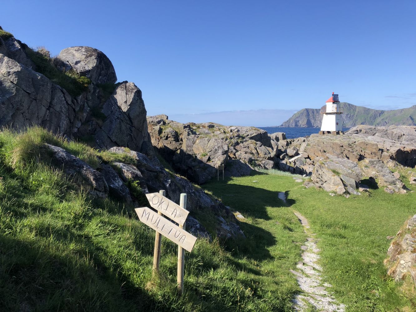
You can use some of the benches and tables on Golleneset, and do take a walk all the way to the lighthouse.
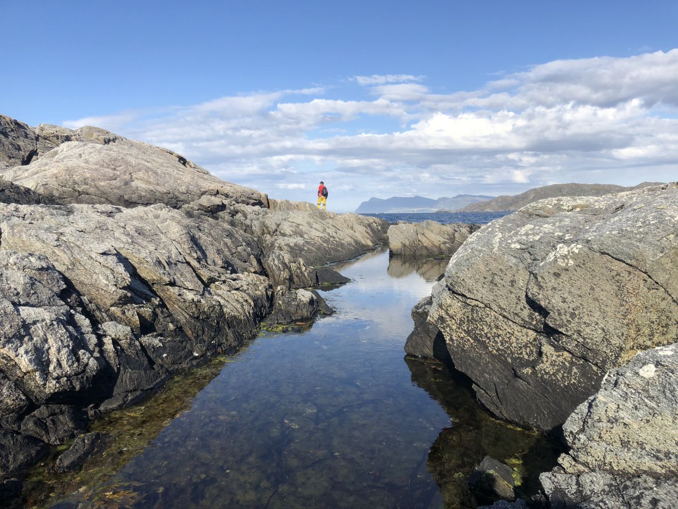
When the waves hit the Golleneset shore, you can experience something truly unique – sea foam! The ocean whips the water into a foam, and it looks like a giant foam bath between the rocks and strips of land.
From Golleneset, you will also get a scenic view of the island of Runde in clear weather, but be careful on stormy days as the waves can be very big.
Tilkomst og parkering
Follow FV654 to Fosnavåg, take FV5878 over to Nerlandsøya, and FV5880 further to Kvalsvik. Turn right onto Hamnevegen Road and follow it until you reach a car park by the breakwater that is furthest away.
Download the Voice of Norway app to listen to an audio guide on your way to Golleneset.
Open the full guide about Havlandet (Land of the Sea) to hear exciting local stories while hiking.