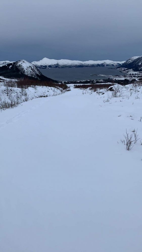
This popular trail is often used in winter when there are no animals grazing in the area. When there is no snow, you can walk up with a pram or ride a bicycle. You will get a scenic view of Fiskå and the surrounding mountains from Golan. For a longer hike, you can follow one of the marked trails towards Orrenakken, Ringefjellet, and more.
Route description
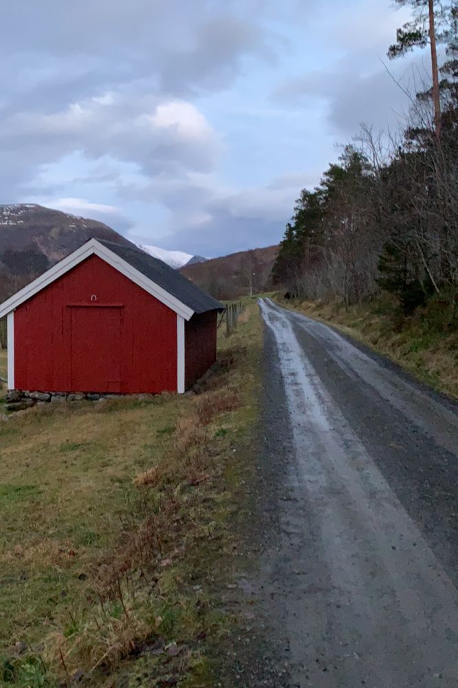
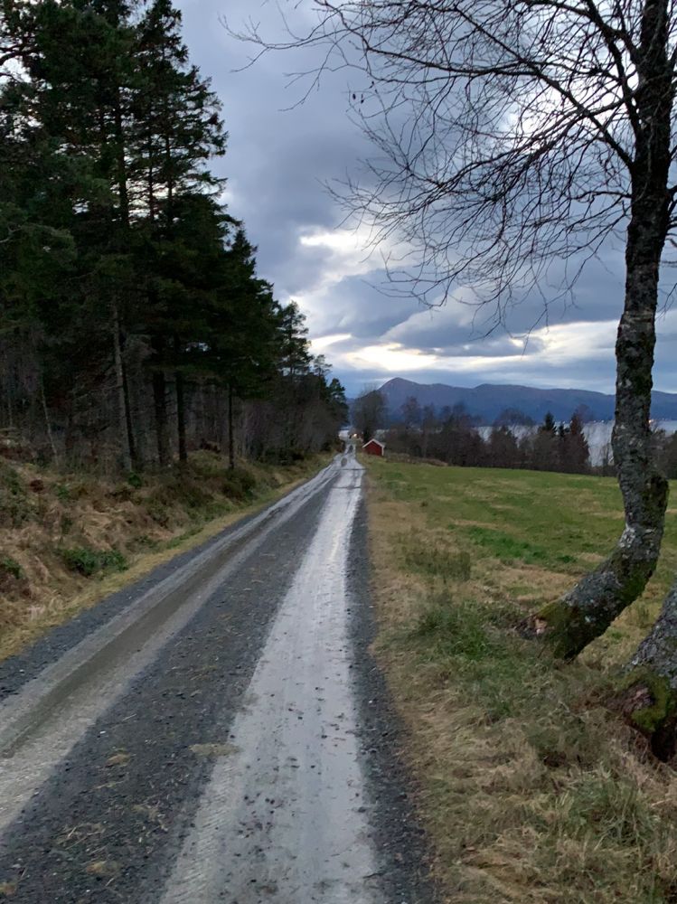
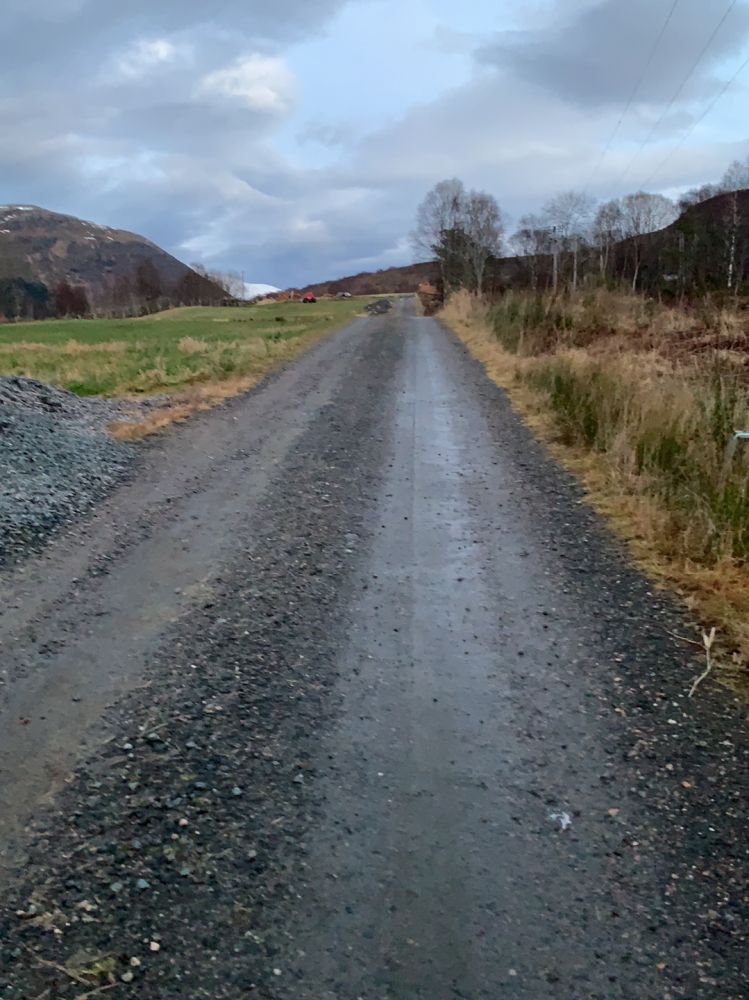
Park your car by the petrol station in Tunheim. Follow FV61 for about 200 metres in the direction of Fiskå. A Stikk UT sign shows where you should turn off the main road. After taking the exit road, you will walk through a residential area with the characteristic Tunheimshornet on your right and a fantastic view of Fiskå and the fjord on your left. Continue walking straight ahead as the asphalt road changes to gravel. You will find the trail destination on the hill at the end of the road. It offers a scenic view over Fiskå, the fjord, and the Stad Peninsula.
Access and parking
You can park your car by the petrol station in Tunheim. It is located at County Road 61 (FV61) between Fiskå and Åheim, about one kilometre from the exit road to the centre of Fiskå.