Eresfjord.
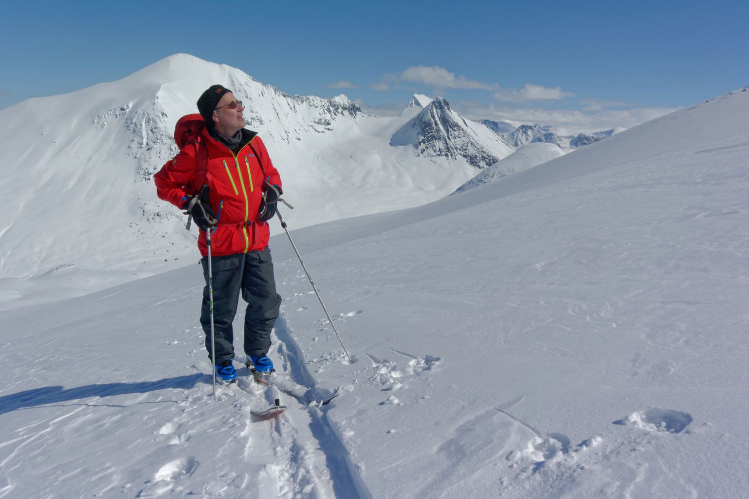
Goksøyra is also a wonderful skiing trail in winter. The majestic Mount Goksøyra rises straight up to 1315 m a.s.l. above the village of Eresfjord. The path is initially steep as it climbs up through the forest to Ufssalen. From there, you will walk through high-mountain terrain.
Follow the same route as you do in summer.
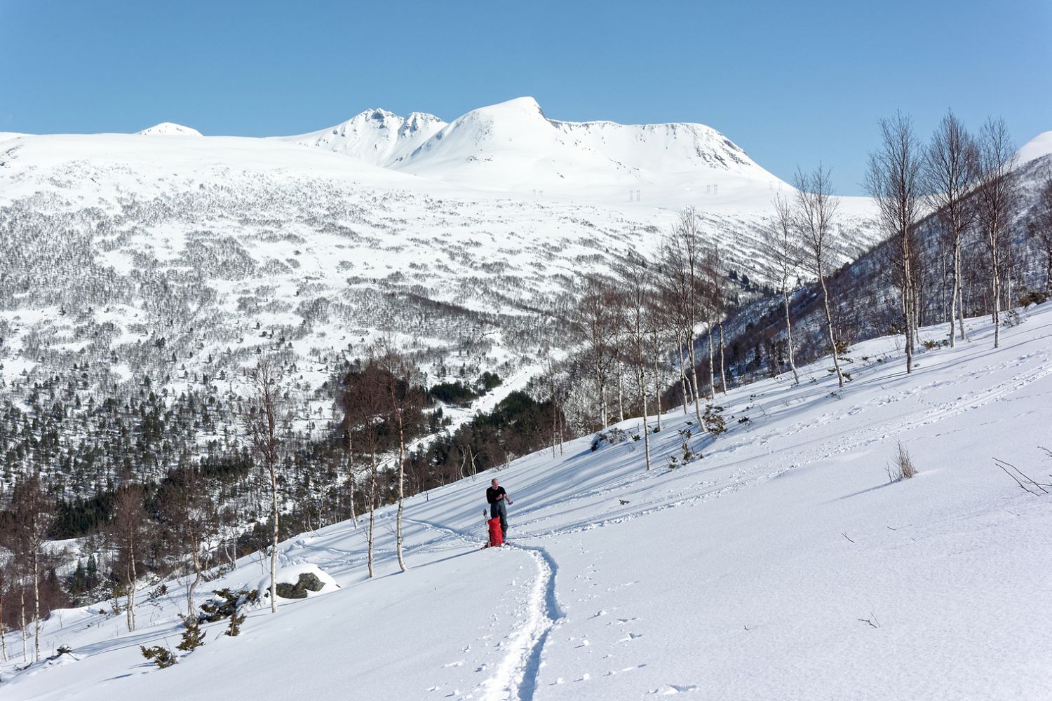
Start by following the forest road up the first part of the hill. The road will soon turn into a path. You might need to attach your skis to your backpack since the forest is quite dense here. Go fairly straight up where it is easiest for skiing. It will flatten out just before you come up to the Ufssalen mountain farm at 550 m a.s.l.
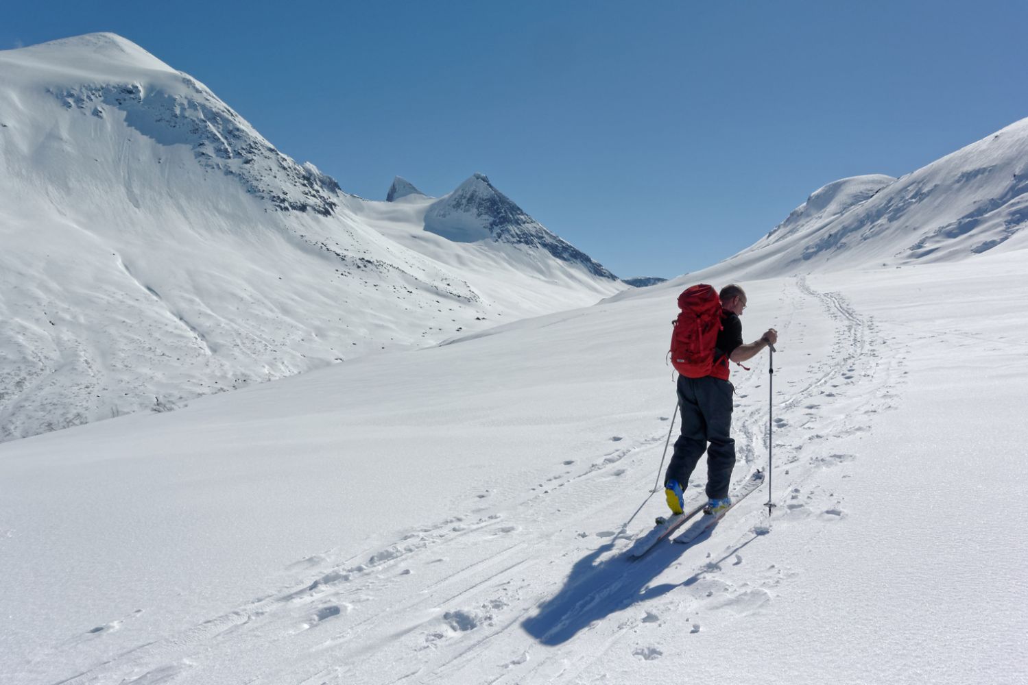
From here, go slightly up to the left, around a small hill, and continue further south through relatively flat terrain. Ski around a small rocky outcrop at 781 m a.s.l.
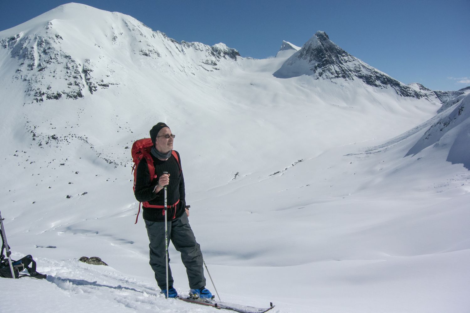
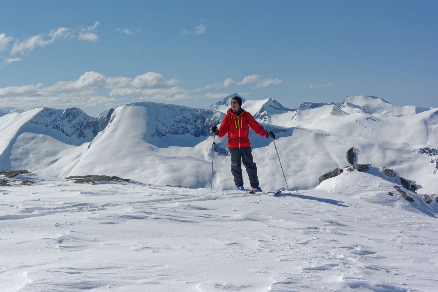
From there, the easiest option is to curve slightly up to the right in the direction of Kvilhaugbotn. Continue further up across the large snowfield towards a small gap. Then move through a cirque in the mountain until you reach the top of Goksøyra.
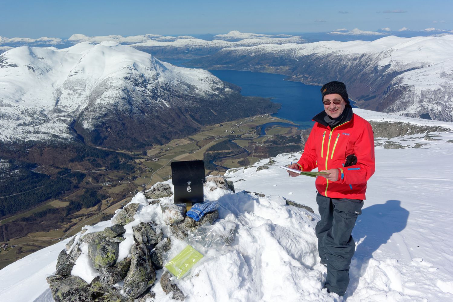
The cairn lies at the edge of the mountaintop where you have a view straight down to the village of Eresfjord.
The easiest option is to follow the same way back. Alternatively, as you approach Ufssalen, you can turn down to the right and continue along the marked ridges down to the Kvidalen Valley. Note that there may be a risk of avalanches occurring in the area.
From Syltebø in Eresfjord, take the county road that runs up the eastern side of Eresfjord. After about a kilometre, turn up to the left and follow the municipal road that is signposted to Grandseter. Drive up this road for about a kilometre until you see a timber stacking area on your left. Park your car there. You will see a forest road that goes up to the right. This is the starting point of the trail.
Car parking is also available a couple of hundred metres further up, next to the water intake facility under Bjørbakken.
Skiing route
Blue topptur
Duration
4 t. 35 min.

You will ski past an old mountain farm called Ufssalen at 550 m a.s.l.
 Driving directions
 Route data
GeoJSON
Route data
GeoJSON