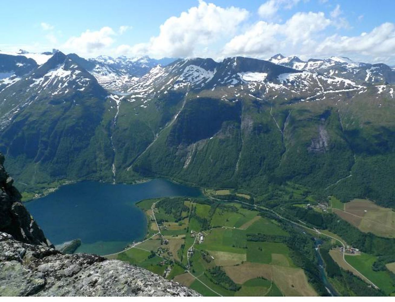
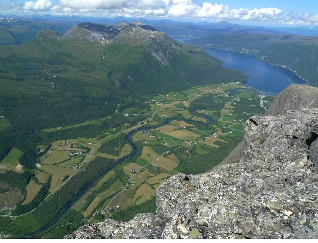
Eresfjord. Mount Goksøyra rises straight up to 1315 m a.s.l. like a monument above the village of Eresfjord. The path is initially steep and well defined as it climbs up through the forest to Ufssalen (546 m a.s.l.). From there, a well-trodden and marked path runs through high-mountain terrain. The mountaintop of Goksøyra offers a fantastic view.
Route description
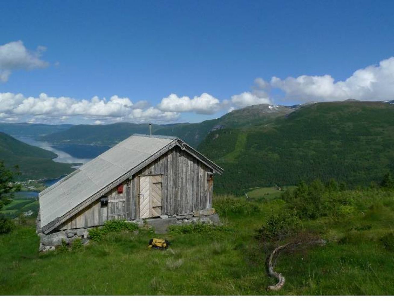
The trail follows a well-trodden and marked path. On a small rocky outcrop at 781 m a.s.l., you can choose to go straight up a slightly steeper outcrop instead of following the path further ahead. The easiest option, however, is to follow the path. Curve slightly up to the right. Keep to the right of the large cirque (Kvilhaugbotnen) and continue up to a flat ridge formation. Walk up along the left side of the stream. You will see several cairns along the way. In the next cirque, you will see a snowdrift which you can either walk right across or follow the rocky ridge on the left side. Once you have passed the snowfield, you are almost at the top. You will first see the Telenor mast. The cairn at the top of Mount Goksøyra lies just to the right of the mast. Take a moment to enjoy the breathtaking view from the mountaintop!
Access and parking
Turn off the county road on the eastern side of Eresfjord and take the municipal road in the direction of Grandsetra. Drive up this road for about a kilometre until you see a timber stacking area on your left. Park your car there. You will also see a forest road that goes up to the right. This is the starting point of the trail. Follow the forest road that later turns into a path. Car parking is also available a couple of hundred metres further up, next to the water intake facility under Bjørbakken.
Hiking route
Black
Elevation
1222 m
Duration
6 t. 20 min.
Sesong
Winter, Spring, Summer, Autumn
Highest Point
1268 masl
Signage
Markings
Mobile coverage
Partially
Map route
Surface type
Distance
Sti
8
Public transport
No
Other
Note: please do not throw stones down from the top of Mount Goksøyra. There may be people climbing up the mountainside just below you.