Glomset–Nerstølen–Fjordamannsvegen–Glomset (Looped Trail)
Ålesund
This is an easily accessible trail option. Forest roads are suitable for baby carriages and bicycles.The path through the terrain is only suitable for walking. Parts of the path go into the Ørnakken nature reserve. The trail takes approximately 1–1.5 hours.
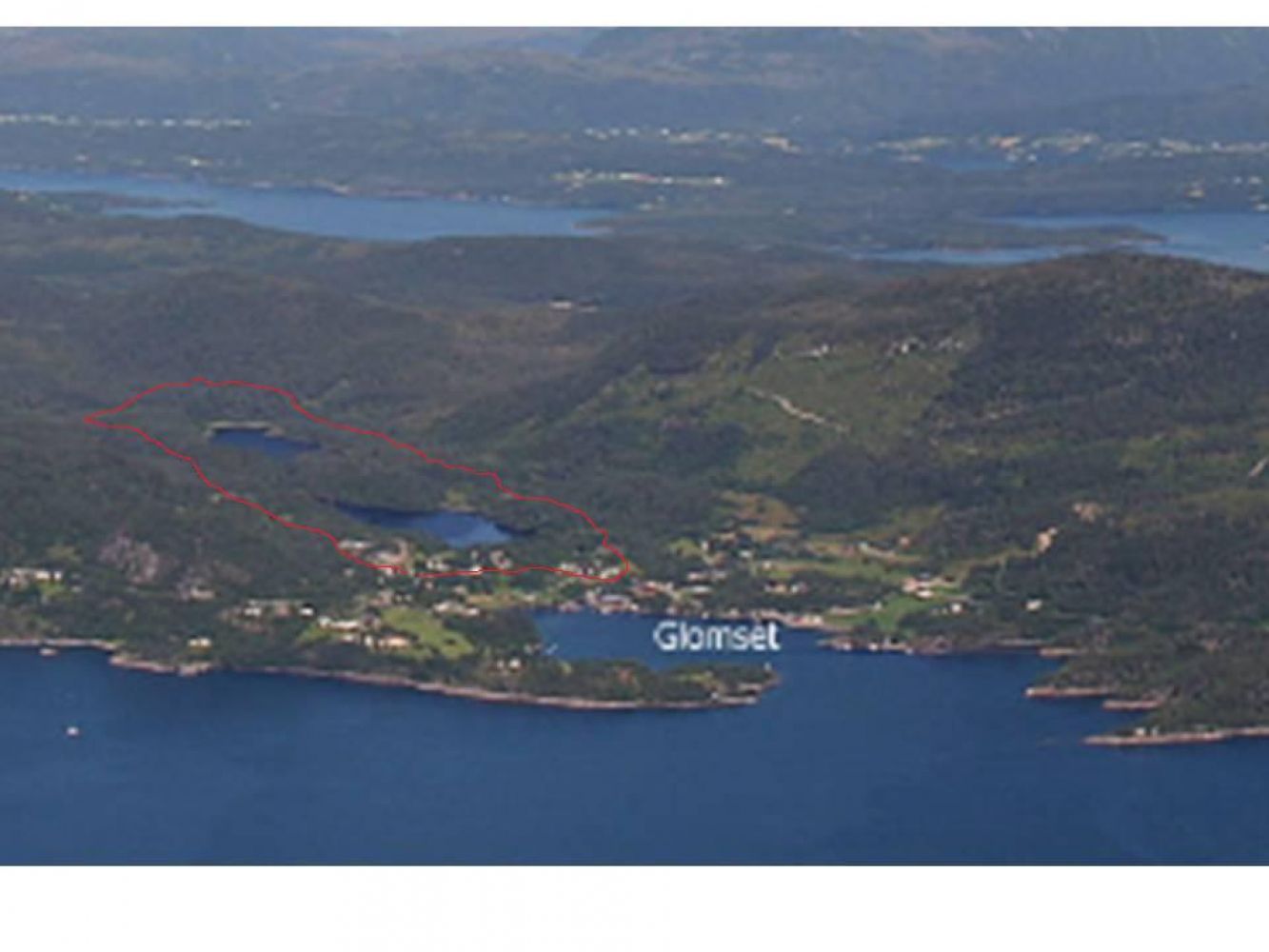
Start walking from County Road 656 (Fv656), near the old Glomset school, and follow Nerstølsvegen Road for about 2 km. This is a nice forest road that is cleared from snow in winter. It is well suitable for cycling and walking with a baby carriage. (The road goes steeply up past Øvrestølen and continues further to Vallesetra. Its final section is a tractor road.) After you walk past the bridge in Nerstølen, you will see a sign that points to Ørnakkdalen in 0.6 km. The path through the Ørnakken nature reserve starts here from the information board. The path initially goes north following a tractor track for a couple of hundred metres. It can be slightly wet here. Then the path drifts slightly to the east and takes you past a small river that flows from Lake Ørnakktjønna. You will now come to a fork in the path and a sign pointing east to Fjordamannsvegen Road. Follow the sign for 0.6 km and you will reach Fjordamannsvegen Road near the Fugledalselva river (there may be some wet patches). Follow the forest road for about 1.5 km. Walk onto the road to Øvre Glomset and follow it for 100 m south to County Road 656. To return to the starting point, follow this road as it takes you over the bridge and turn off onto the gravel road on your right-hand side just after the bridge. The road goes down quite steeply as it passes several houses on your right. Then it starts sloping gently towards an old country road for 200 metres until you reach the starting point.
The hiking trails in Glomset start from County Road 656 near the old school building, about 4 km from Valle and about 8 km from Magerholm.
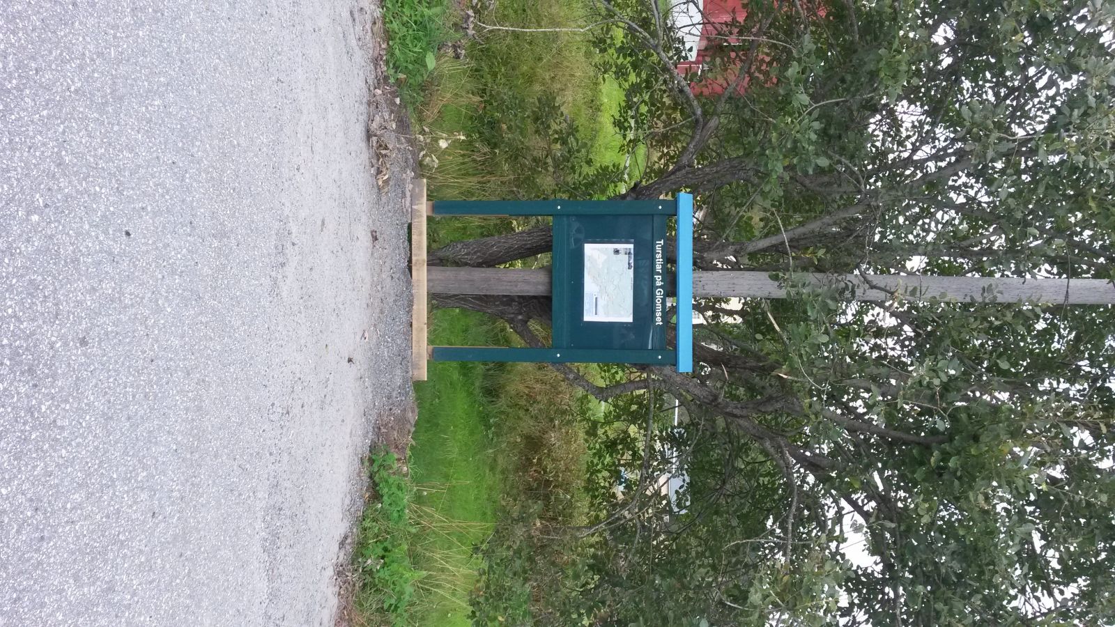
You can park your car by the information board or next to the Glomset school.
Duration
1 t. 40 min.

| Surface type |
Distance |
| Asfalt |
0,5 |
| Grus |
3 |
| Sti |
2 |
Please follow the rules that apply within the area of the Ørnakken nature reserve.
 Driving directions
 Route data
GeoJSON
Route data
GeoJSON