Gjøna from Gjerdsvika
Sande
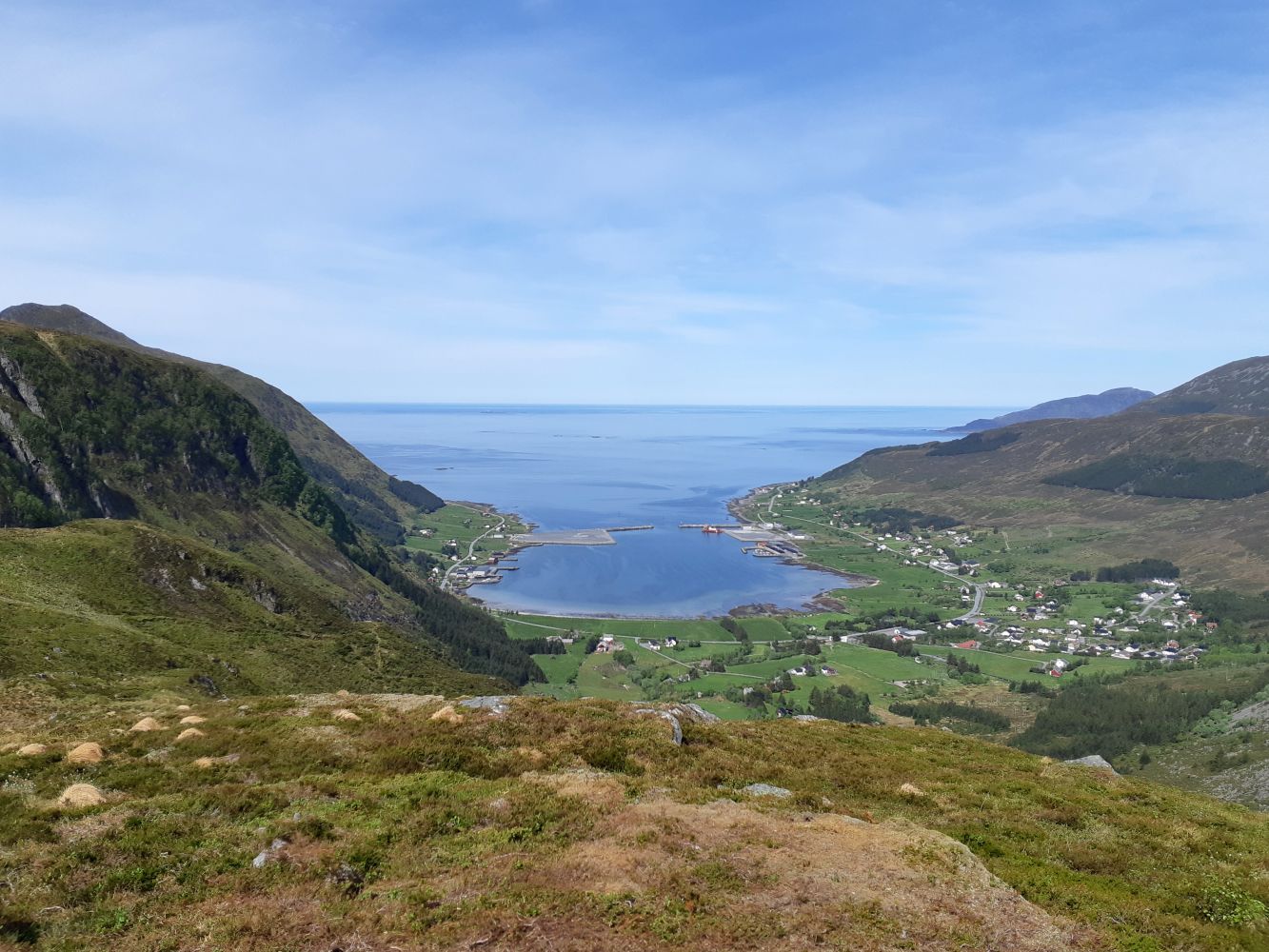
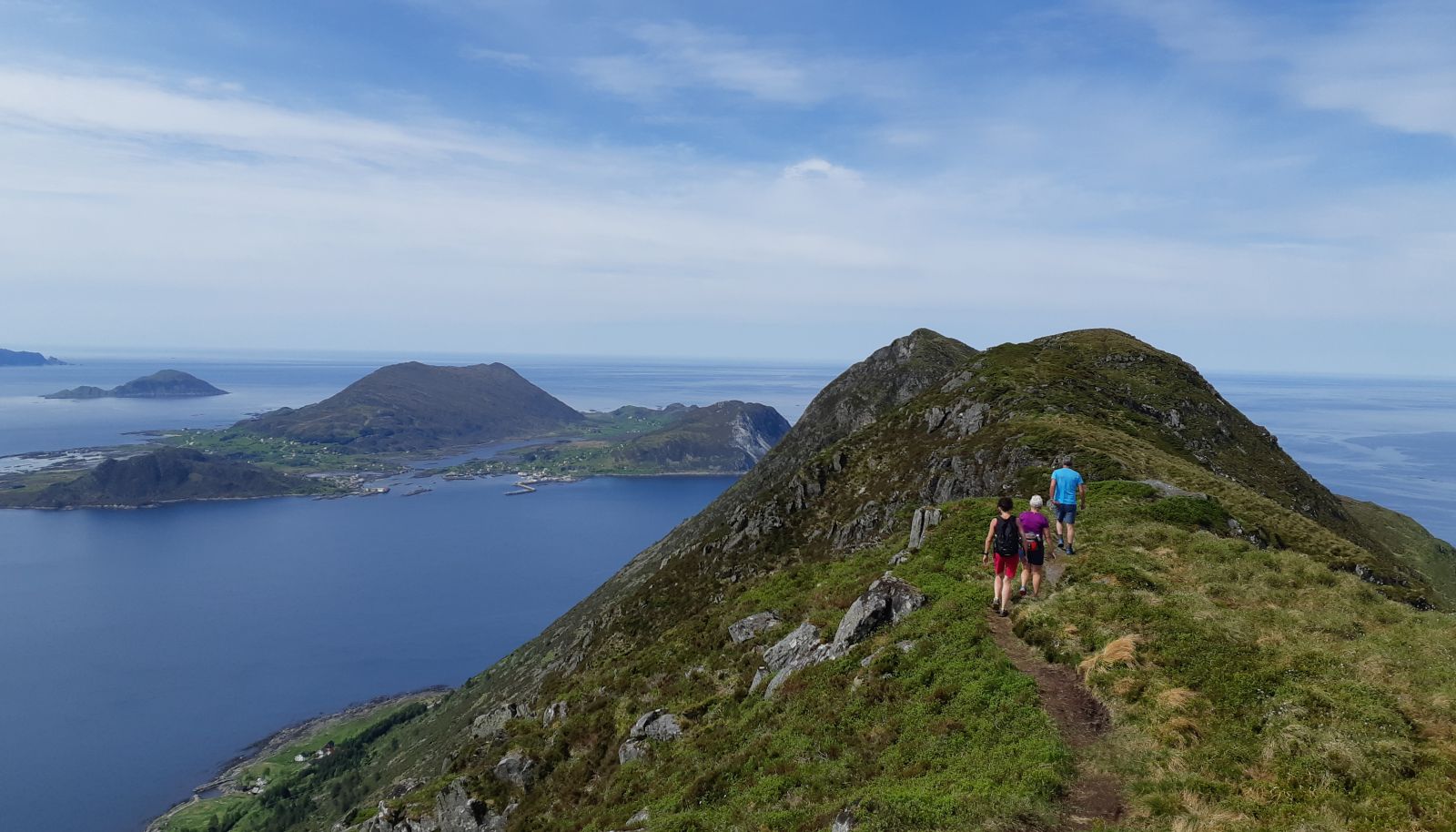
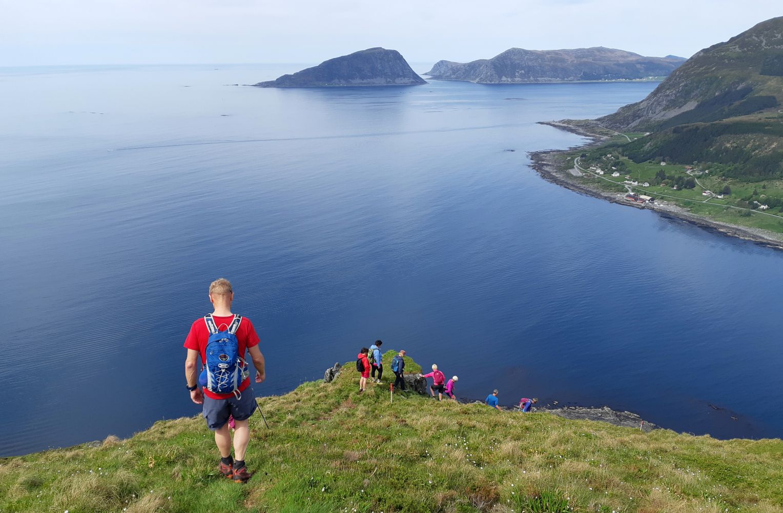
This is a scenic circular trail from Gjerdsvika. You will walk past a great viewing point on the way up to the gapahuk shelter called “Strutsely”. The view from here is amazing. You will then walk up to Haugshornet and continue along the ridge of Saursegga in the direction of Gjøna, enjoying the breathtaking view the entire time. The descent to Holane is steep, but the view here is also beautiful.
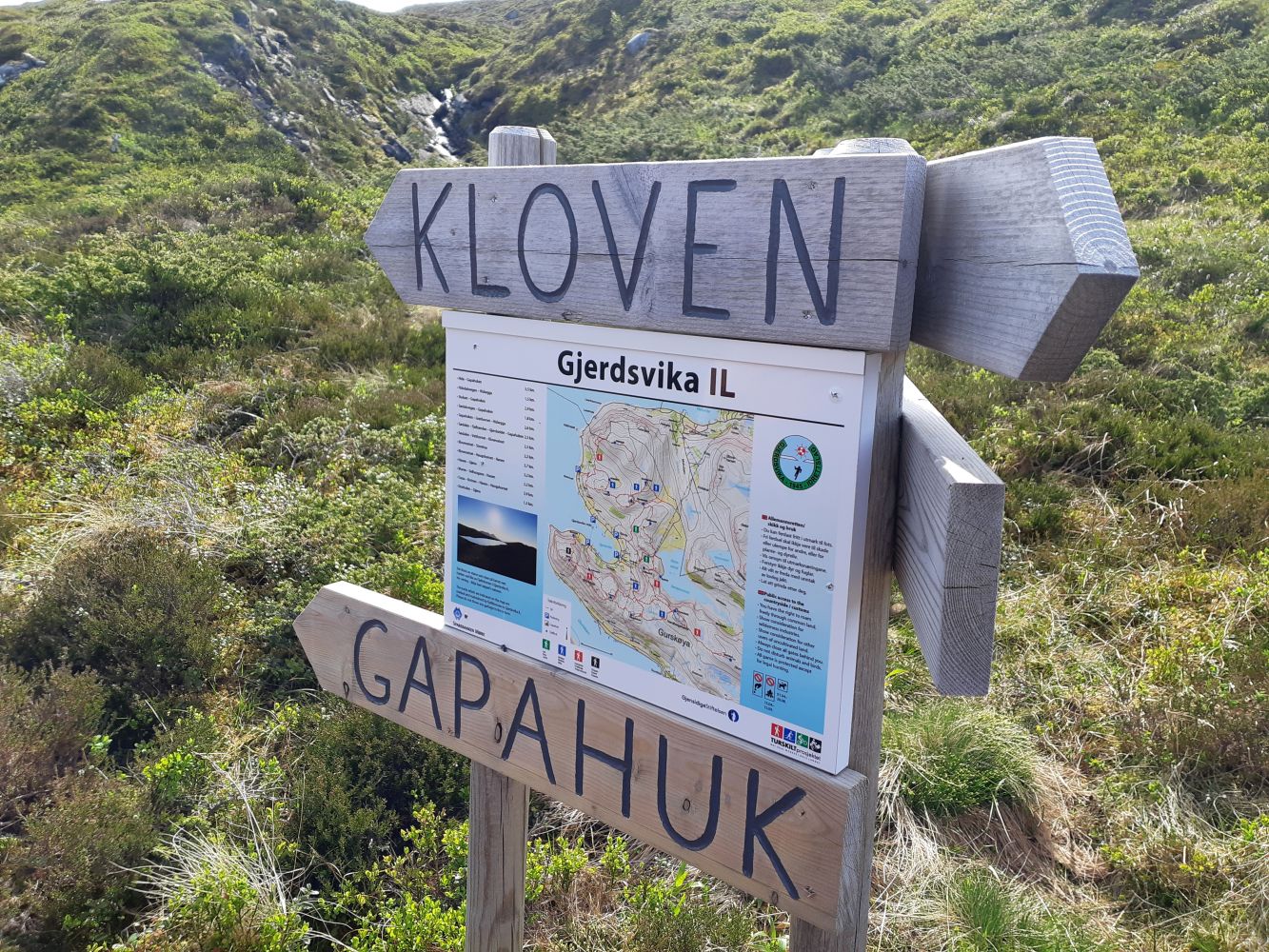
Walk for about 100 m from the car park in the direction of Gursken until you see the sign at the starting point of the trail. The trail is well marked, so you can simply follow the waymarks as you move further. You will follow a good-quality path, and there is a wooden walkway over the marshy area. Make sure to stop by the scenic viewing point at an altitude of 200 m before you continue to the “Strutsely” gapahuk shelter. The view from here is amazing! From the gapahuk shelter, continue up to Haugshornet. Here, there is no path, but you should aim for the peak in front of you. Look for waymarks, and you will eventually find the path. Follow the path from Haugshornet to Hanen and continue along the ridge to Gjøna. Take your time to enjoy the view! This route includes a steep descent down to Storholen. It can be slippery here in wet weather. Alternatively, you can choose a slightly less steep slope down to Muren. Both descents start just below the top, and the path splits after a short distance. Both routes are well marked.
The distance back to the starting point is about 2 km.
Follow County Road 5868 (FV5868) either via Moltustranda or via Gursken. Park your car by Tussabygget (the Tussa building), by the information board just across the road from Tussabygget, at the junction of Risevegen and Gjerdsvikvegen roads, or next to the Gjerdsvika Stadium.