Gjerdsvika – Hidsneset – Gjerdsvika
Sande
This scenic route is suitable for paddling both in kayak and canoe. The beach is easily accessible from the car park (about 30 m). The area along the shore offers a diversity of wildlife, including many bird species. You can also combine paddling with one of the scenic mountain hikes in the village (please find a trail description on morotur.no).
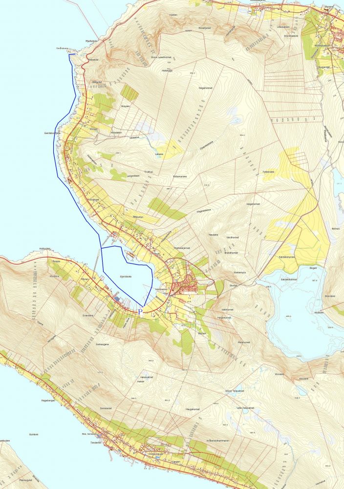
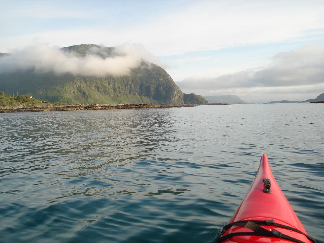
After the start, paddle along the south side of Gjerdsvika towards the breakwater. Once you pass the breakwater, follow the shoreline on the north side. You will reach the lighthouse on Hidsneset after about 4.2 km. You can go ashore here if the weather allows (there is a bay on the south side of the lighthouse). Follow the same route back to Gjerdsvika. After passing the breakwater, you can paddle along the north side of Gjerdsvika back to the beach.
The trail starts from the beach in Gjerdsvika.
Park your car by the main road, near the beach. There is room for 2–3 cars there.
Duration
4 t. 25 min.

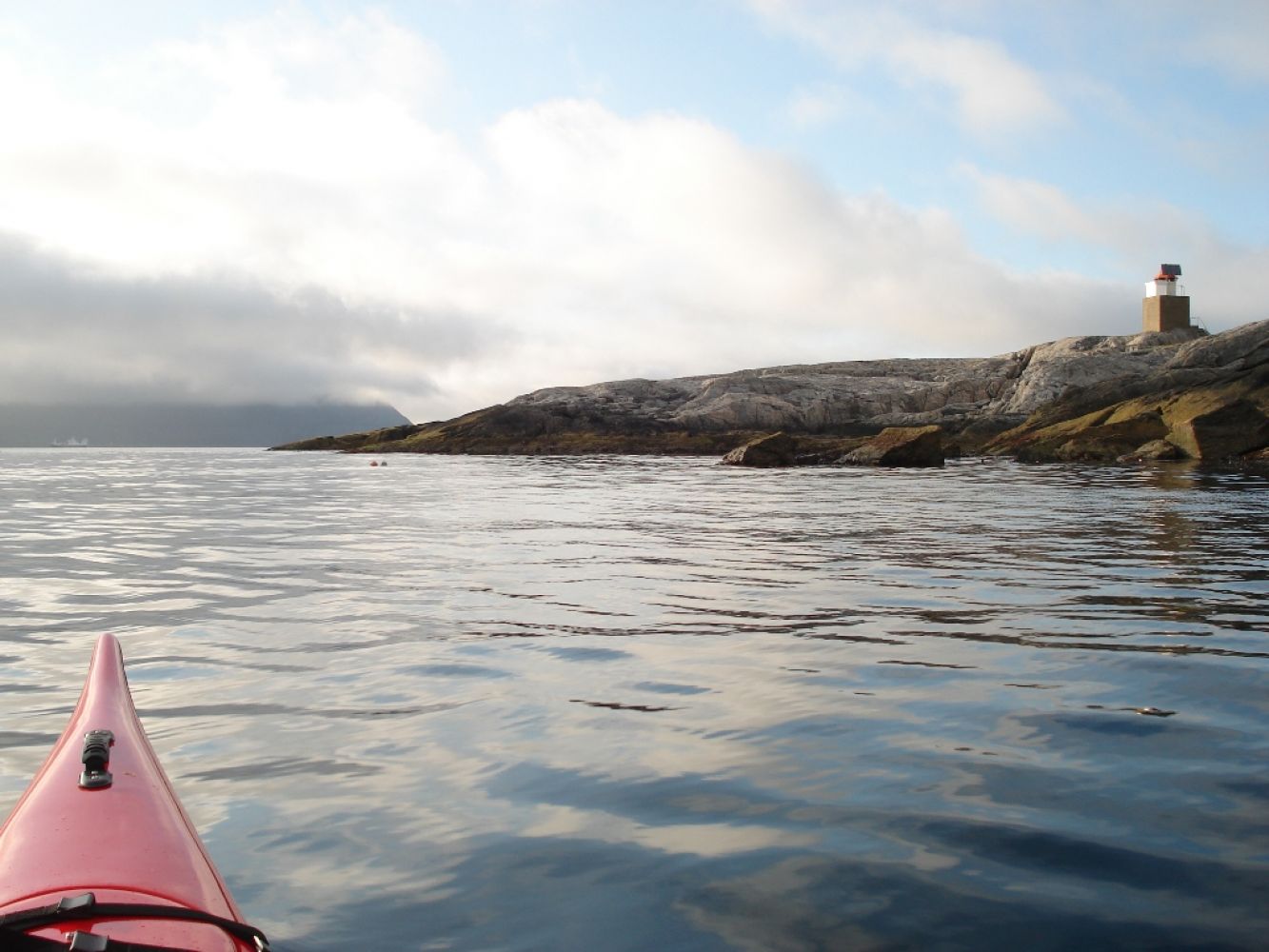
You will paddle in the open sea once you pass the breakwater.
Please be sure to check the weather before you head out.
 Driving directions
 Route data
GeoJSON
Route data
GeoJSON