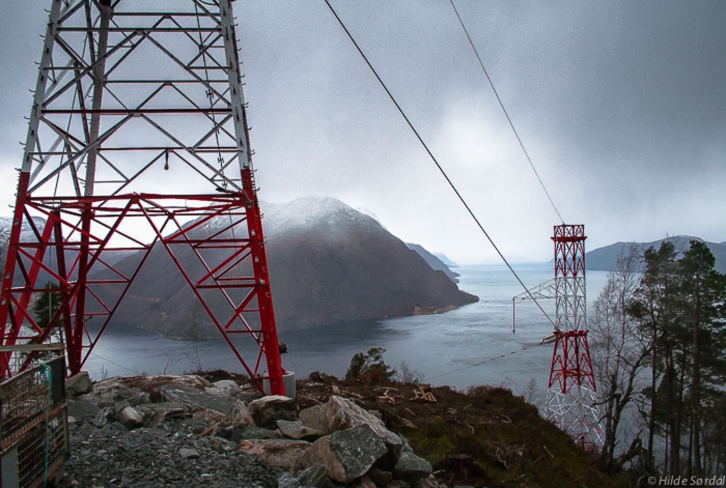
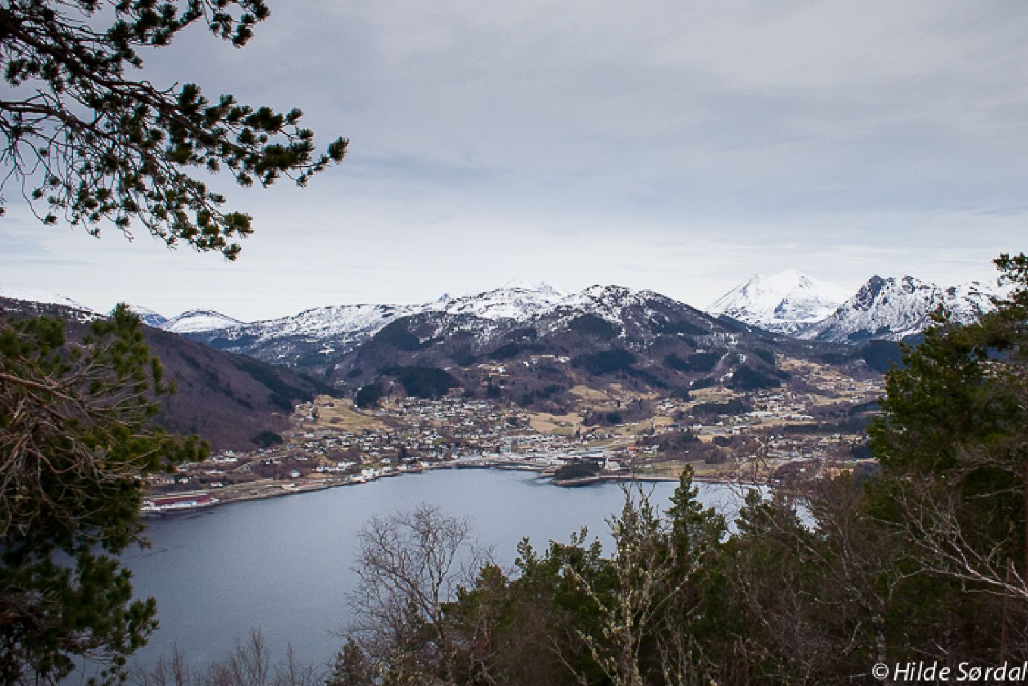
This trail initially follows the Trondheim Mail Route for about 1.2 km. You will come across a road that was built due to the development of the electric power industry. A broad gravel road will take you through an old pine forest up to the hilltop. From there, you will get an amazing fjord view with Storfjorden and the surrounding mountains.
Start walking from the car park next to the Ørskoghallen sports complex/football pitch. Walk up to the camping ground and turn left towards Postvegen (Eng. The Mail Route) and Gausnestoppen Hill. Follow the forest road up Postvegen and continue further past a postbox before walking down again. You will soon see the temporary road that goes to Gausnestoppen. The road follows the power line with electrical transmission towers all the way to the top.
Follow the signs for Sjøholt Camping from the centre of town. Drive past Ørskog Church and the Ørskog Priest’s House. Before reaching the Sjøholt school, turn right and then left in the direction of the Ørskoghallen sports complex and the Ørskog Stadium.
Park your car by the Ørskoghallen sports complex.
Duration
2 t. 40 min.

Sesong
Spring, Summer, Autumn
| Surface type |
Distance |
| Asfalt |
1,2 |
| Grus |
6,2 |
Fram Ekspress bus service to the centre of Sjøholt
 Driving directions
 Route data
GeoJSON
Route data
GeoJSON