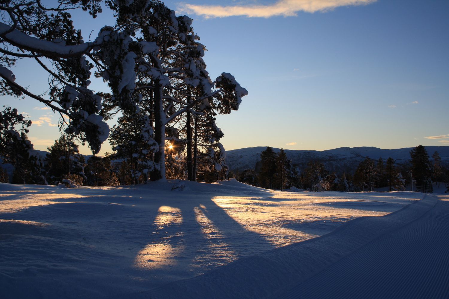
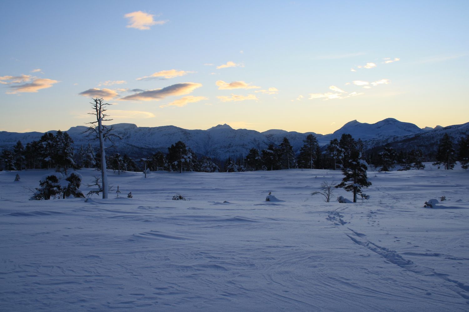
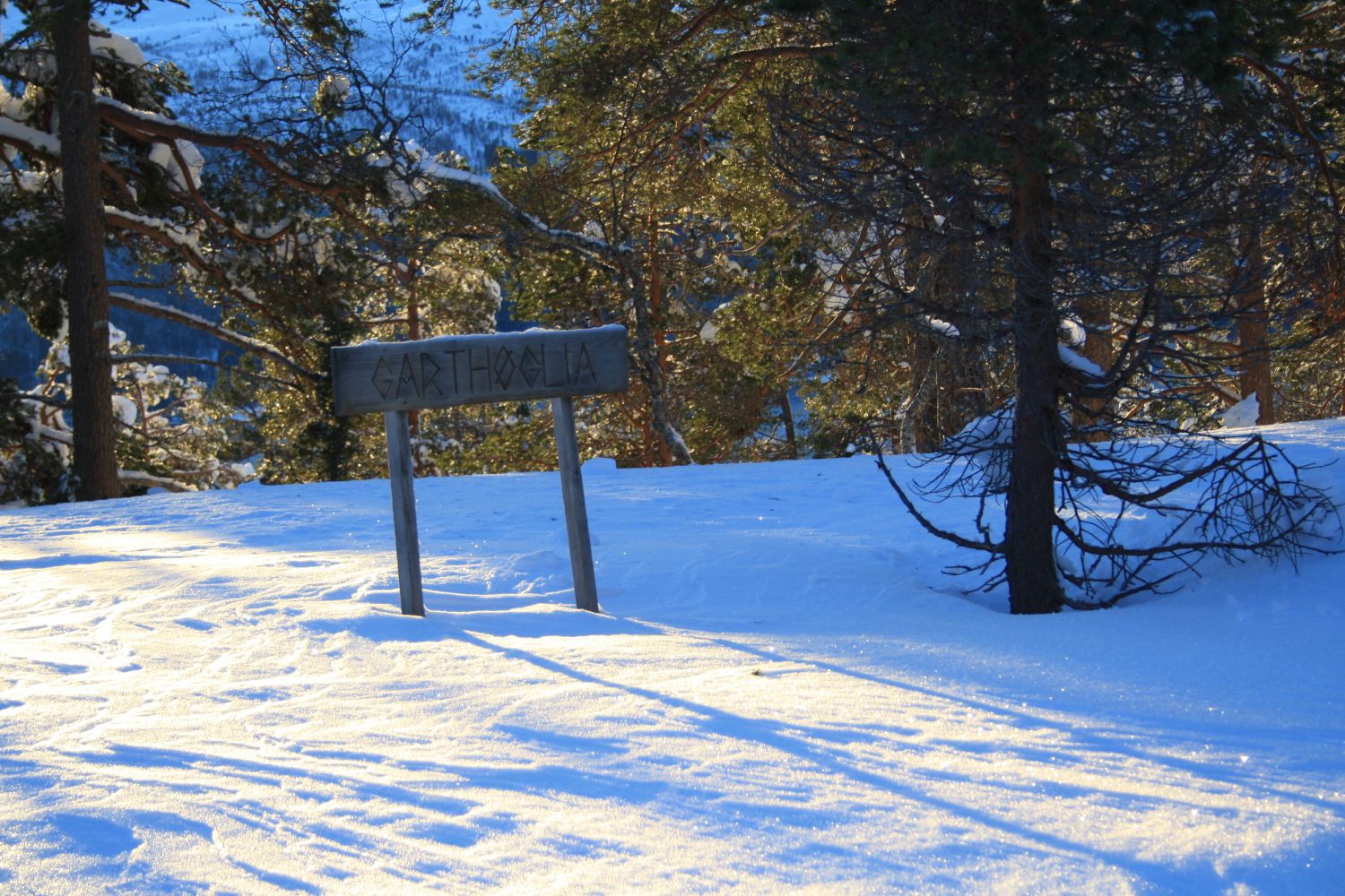
This destination is located along the ski track that is used for the skiing race Nordmarksrunden. It is one of the most popular loop trails in the Nordmarka area. The Stikk Ut trail postbox is located on Garthøglia Hill, close to the place where a drinking station is usually arranged for the skiing race. The trail runs through moderate terrain which is perfect for a short family ski trip. There are many nice spots to take a rest along the trail.
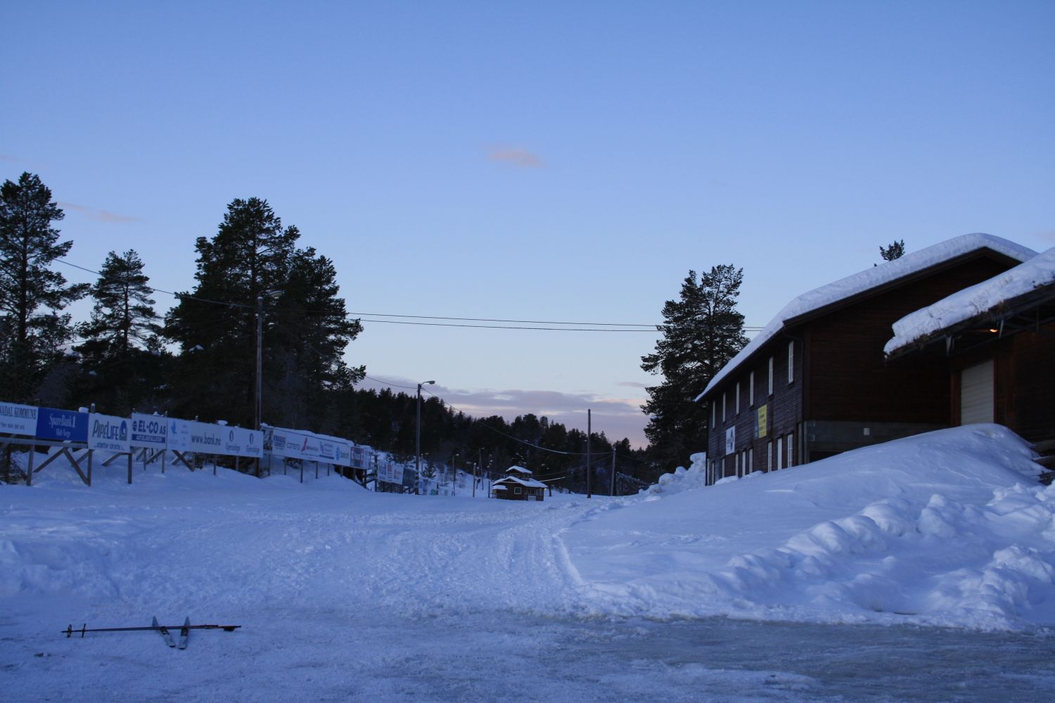
The starting point of the trail is outside of the large new wax cabin at the Nordmarka sports centre. From here, follow the illuminated ski trail straight ahead and turn off to the left after a couple of hundred metres. Follow this ski track for about 3.5 km all the way to Garthøglia. Once you reach Garthøglia, you can turn around and return to the starting point or do a loop trail by following the Nordmarksrunden ski track further and then back to the sports centre. The entire loop is longer than the trail to Garthøglia and back, but you will avoid meeting oncoming skiers in the same track. Depending on snow conditions, there might be alternative groomed trails to Garthøglia, and you may find that the route described above is not groomed. If that case, continue skiing along the track you follow from the starting point and take the first prepared track that runs to the left of the illuminated ski trail. Follow this track all the way to Garthøglia. The alternative ski tracks are slightly longer and involve a bit more climbing than the route that is described here. We recommend checking loyper.net and skisporet.no to find out what ski tracks have recently been groomed.
Drive for about 6.7 km from Skei in Surnadal Municipality in the direction of Kristiansund. This is where you will find the Nordmarka sports centre. Turn off to the left and drive into the parking area of the sports centre for as far as you can (without driving between the buildings). You will find yourself in front of a large new wax cabin. On the outside of the cabin, you will find the starting point of the trail.
Free parking.
Duration
2 t. 40 min.

Signage
No signage or markings
| Surface type |
Distance |
| Preparert med tråkkemaskin |
7 |
Several bus routes operated by Nettbuss run past the sports centre.
The trail to Garthøglia will be about 1 km longer when the alternative ski track is groomed.
 Driving directions
 Route data
GeoJSON
Route data
GeoJSON