Garnestua – Flåna
Ulstein
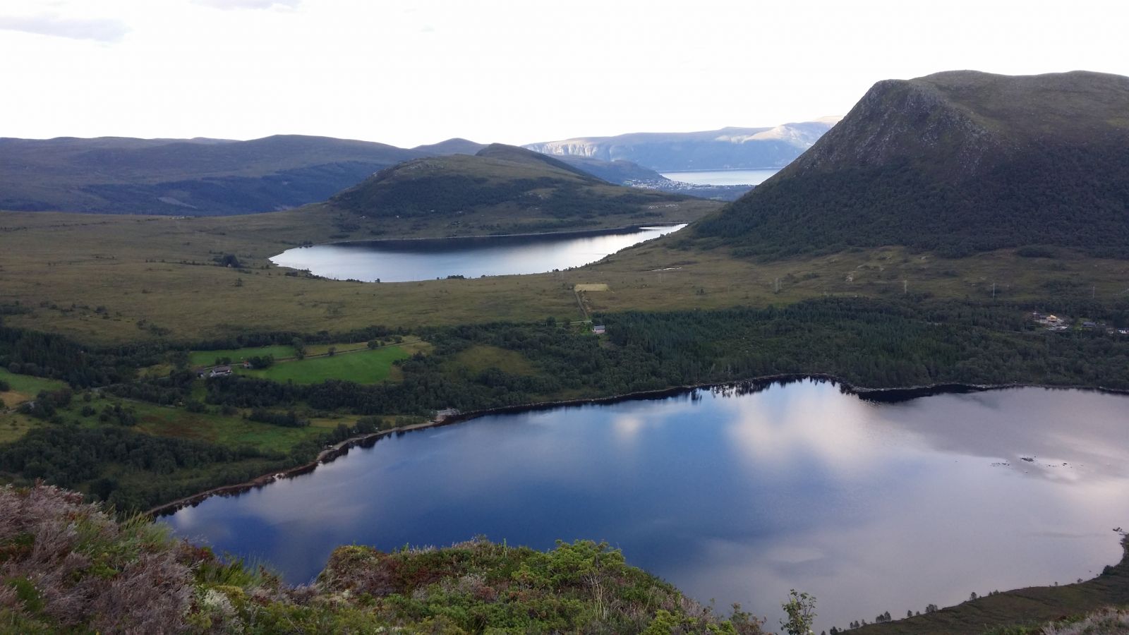
This trail follows a dry and well defined path. It is not particularly steep, and the view is fantastic. Once you reach the top, you will get a view of both the ocean, the fjords, and the Sunnmørsalpene mountain range. The trail is a good fit for families with children. It goes through two mountain tops: Garnestua (654 m a.s.l.) and Flåna (612 m a.s.l.). Mount Flåna also goes by the name Grøthornet.
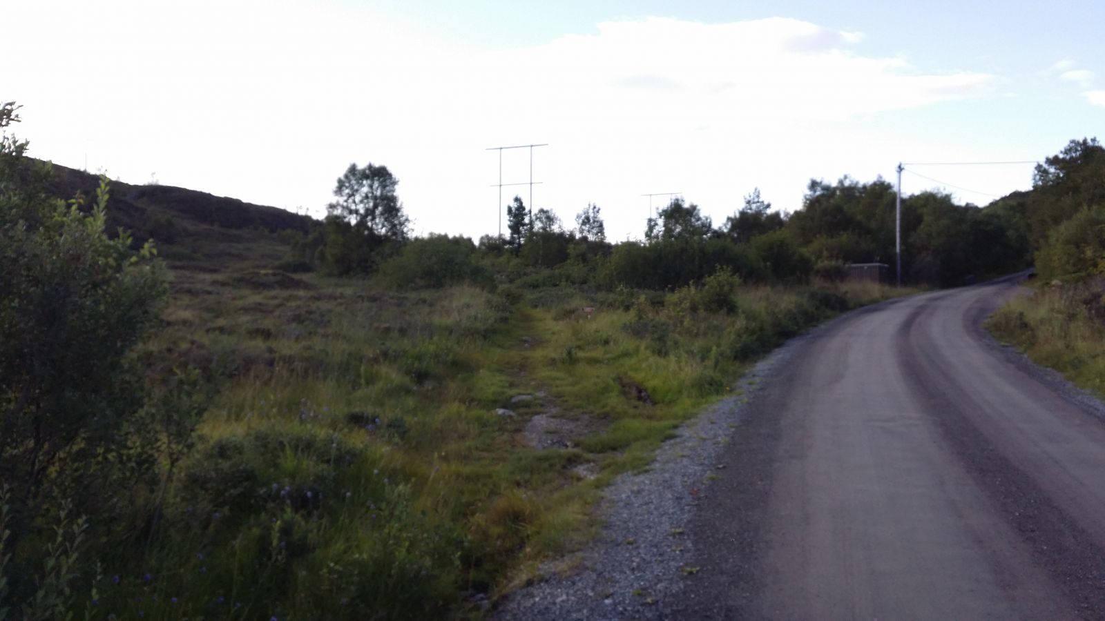
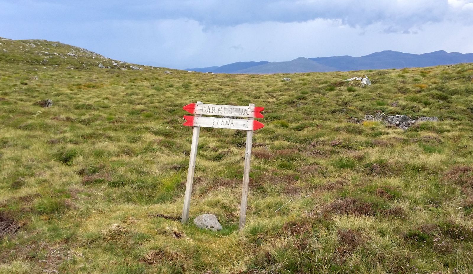
Start walking from Løset at the top of the Ringstaddalen Valley that stretches up from Haddal. The start of the trail is well marked with a sign for Garnestua and Flåna, and this is also a Stikk Ut trail. The path is dry and clear all the way to the top as it follows the mountain ridge. You will come to a split in the path just before the top with a sign pointing to Garnestua in one direction and Flåna in the other. If you want to visit both tops, choose the one you want to reach first and then go back to the other one. Follow the same way back to the starting point. If you want, you can also walk down through Hasundhornet. In that case, the trail will be slightly longer than the one described here.
From Volda/Ørsta: Drive along National Road 653 (RV653) via Eiksund Sambandet (the road system that joins several islands in Ulstein Municipality). Turn off when you see a sign pointing to Haddal and drive up along the valley. The road is partly gravel. There is a car park near Lake Løsetvatnet and a cabin area. Park your car here. The path begins on the left side of the road.
From Ulstein/Hareid: Drive along National Road 61 (RV61). On the border between Hareid and Ulstein municipalities, turn off south (or to the right if you are coming from Ulstein) onto a “mountain road” that goes to Haddal. You will drive past Lake Hammarstøylvatnet on your left and Lake Fjellsvatnet on your right.
Distance
5,92 km both ways
Duration
2 t. 45 min.

Sesong
Spring, Summer, Autumn
| Surface type |
Distance |
| Sti |
5,9 |
Sunnmøres små og store fjellturer - Garnestua
 Driving directions
 Route data
GeoJSON
Route data
GeoJSON