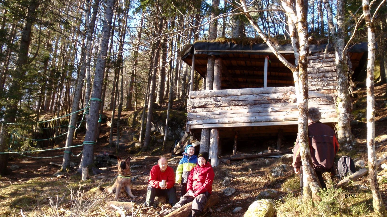
The Gapahuk in Gursken
Sande
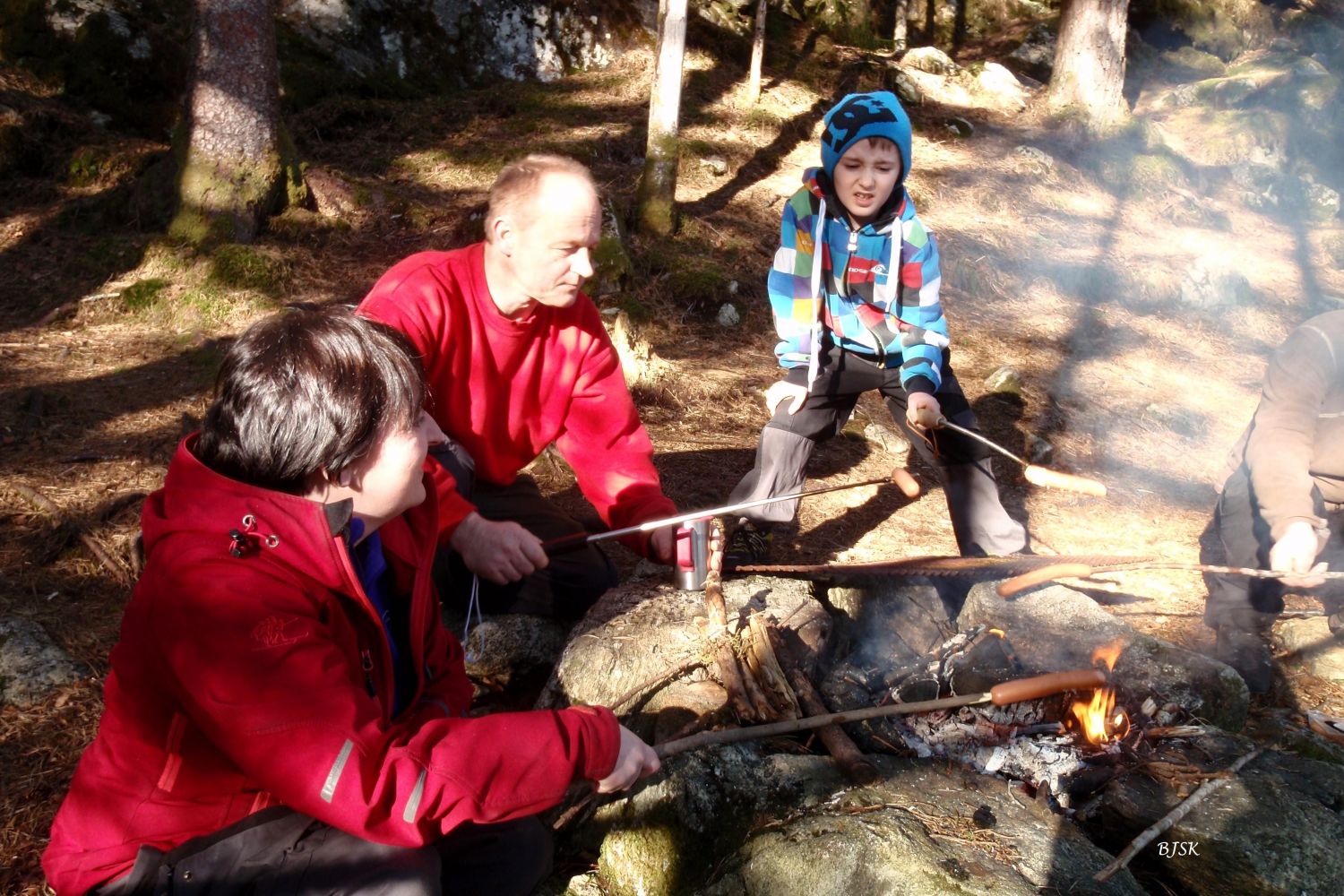
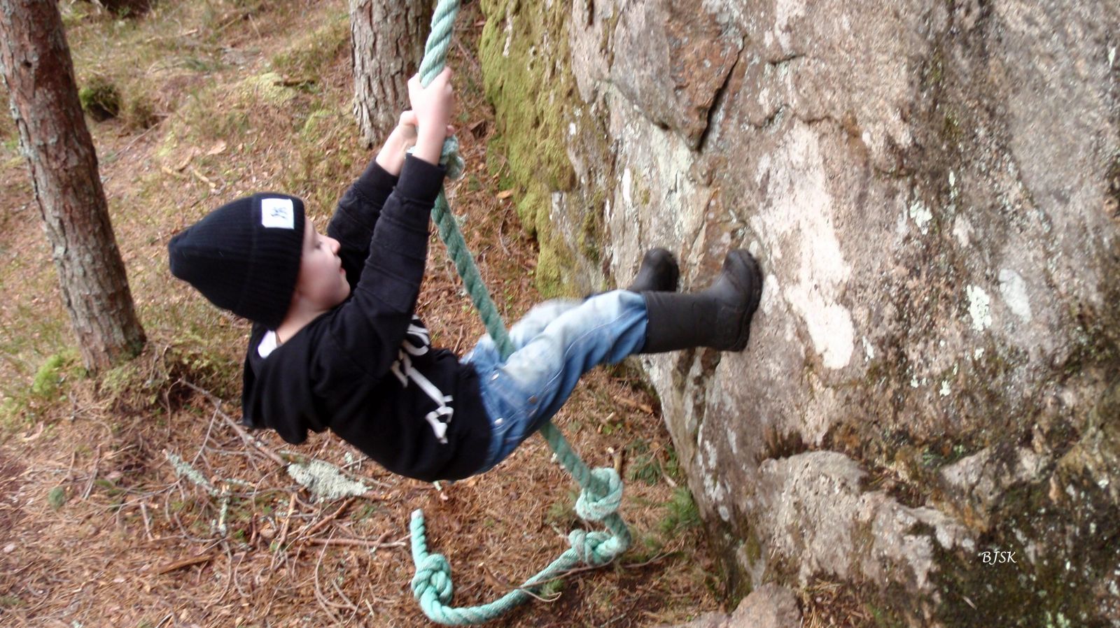
The gapahuk shelter in Gursken is located in the forest above Gursken Oppvekstsenter (Gursken School). It was built by volunteer parents of the primary school students. There are ropes in the forest and on the rocks for the children to climb, and you can use the barbecue place by the gapahuk. This hike is perfect for children who can play and explore the forest in the area around the gapahuk.
On the east side of Gursken Oppvekstsenter, there is a private road that ends above a barn. The path begins behind that barn and goes across the field before entering the forest. About 100 m before the gapahuk shelter, you will walk over a rock. This section can be difficult for children, so make sure you help them along the way.
Turn off County Road 61 (FV61) in Gursken about 200 m east of the junction near Gursken Matsenter and park your car next to Gursken Oppvekstsenter.
Duration
35 min.

Sesong
Spring, Summer, Autumn
| Surface type |
Distance |
| Sti |
1 |
Ytre Søre Sunnmøre hiking map, M711 1119 III, Sunnmorskart.no
 Driving directions
 Route data
GeoJSON
Route data
GeoJSON