Furene - Ring - Gildrehammaren-Klepp
Volda
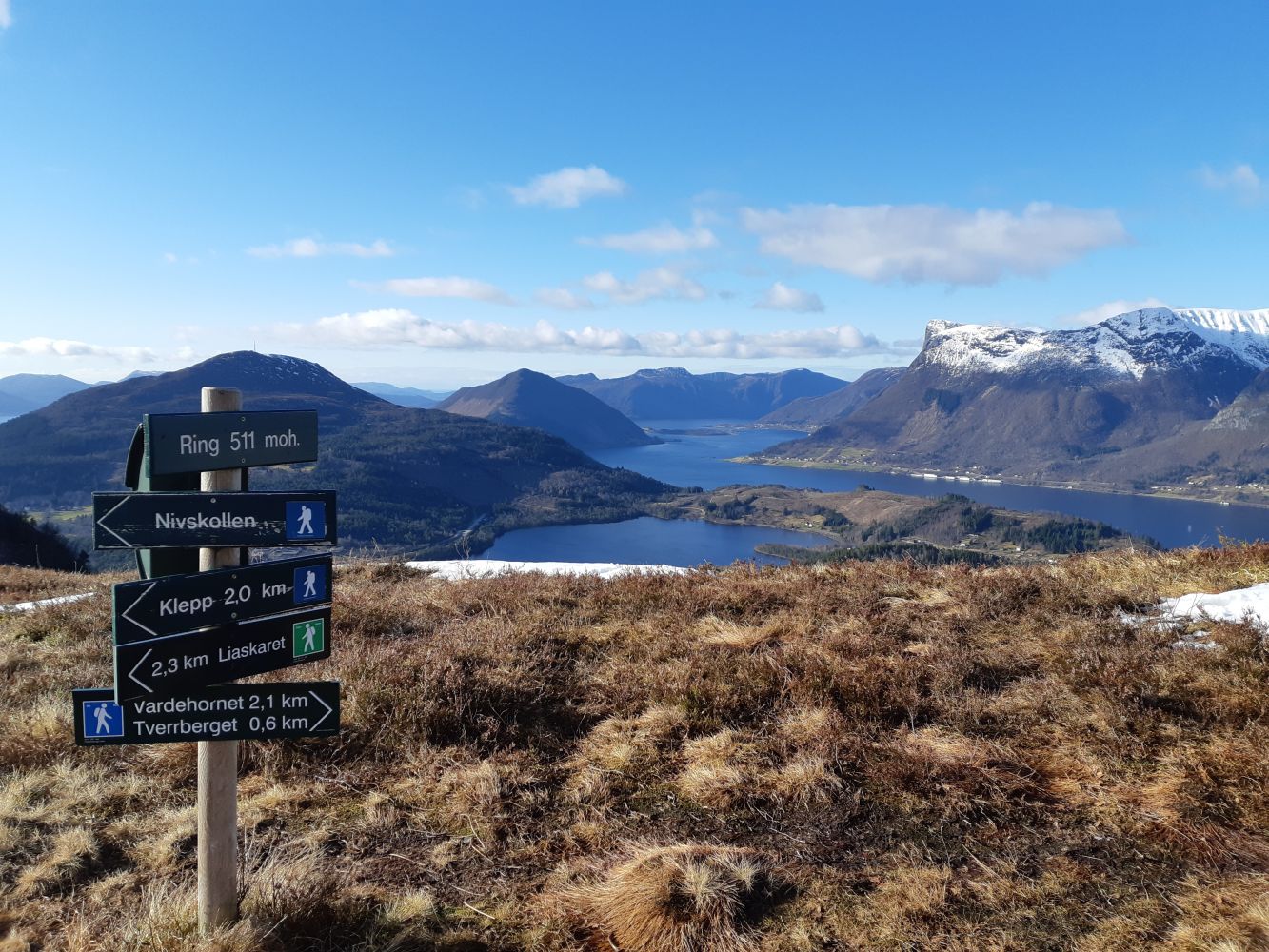
Pleasant route from the Furene bus stop to Volda centre. This is a good trail with several nice viewpoints along the way. Ring is a large boulder, where there are great views in all direction, and you can look straight down on the airport.
The route is marked with signs and red marking posts. You will see the first marking when you enter the forest road. This is marked where the trails cross, and in places where it may be difficult to know which direction to take. There are longer distances between markings in places where the forest roads and trails are easier to distinguish.
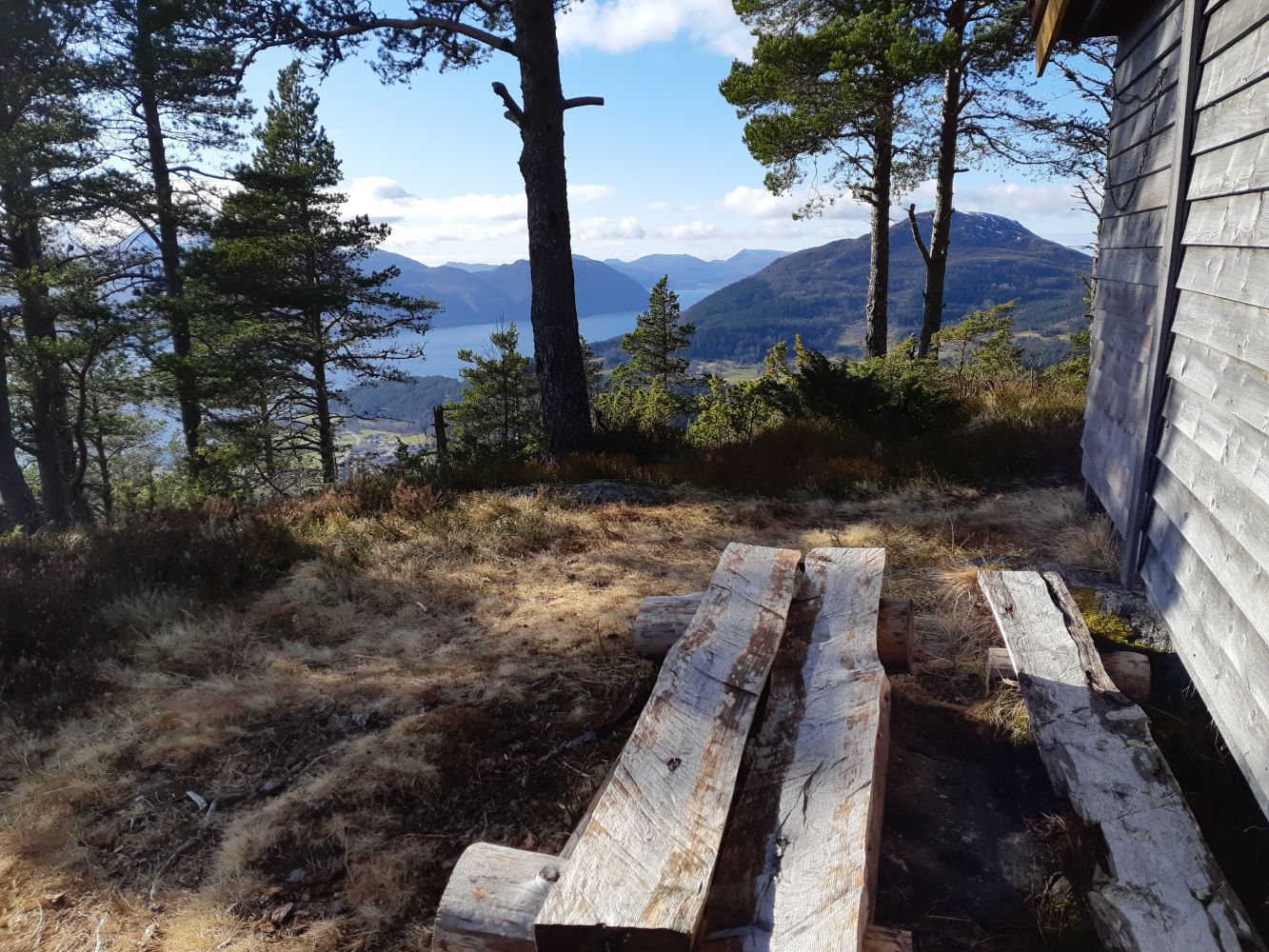
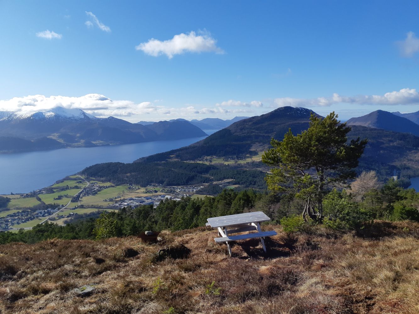
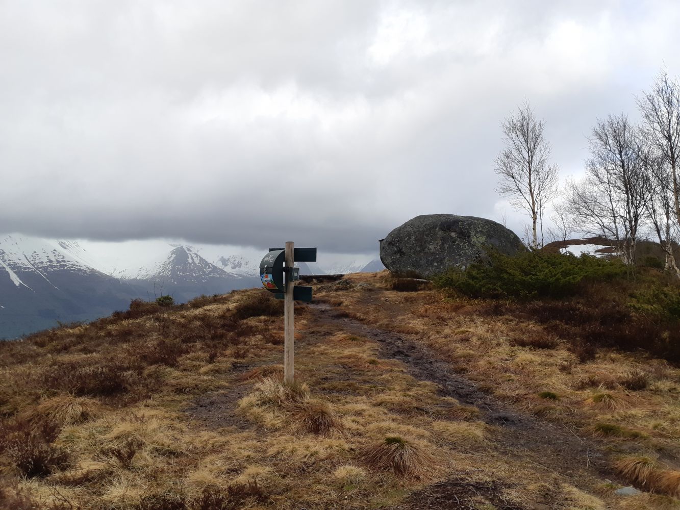
From the bus stop, head in the direction of Volda. At the sign 'Volda 4, Bergen 350', cross the E39 and continue along the gravel road marked 'Private'. Here you will see the sign 'Ring 511 moh'. You can walk here, but not drive. After about 400 metres, you will come up to an asphalt road (Liaskarvegen). Turn left and follow the road to the next crossroad. From there, continue straight and take a slight right until you reach an information board. Cross over the field and continue up and slightly to the left for 150-200 metres. This is marked by the landowner's sign. Now you will enter the forest road. Take the next nearly 180° right turn. Continue on the forest road. You should be following the signs for Niven/Ring. After approx. 2.8 km, take the steep trail to the left (with the sign 'Ring via Nivskollen'). You can also continue straight if you prefer less of an incline on the route to Ring, although you'll then miss the great views. The first 100 metres are the steepest but worth the effort! You will arrive at a cabin, which is actually a built-in camping trailer. Pass this and you will soon be up at the viewpoint at Nivskollen. Here there is a picnic table and campfire pit and spectacular views! Continue along the trail to Ring. Look for a large marked rock, which will show you where to go. From Ring, follow the signs to Tverrberget. This is well marked with signs to Tverrberget and the rest of the route. Once you come down from the ridge of Tverrberget, the trail splits. Here you should follow the sign 'Klepp via Gildrehammaren'. Gildrehammaren is a beautiful viewpoint with a remarkable network of roots. The trail continues down to both the right and left. Both lead down to Kleppevegen. On this route, take the trail to the left. You will pass Kometland, an astronomy centre. The final part of the route leads along a gravel path. The route ends at the top of Kleppevegen.
Start at the bus stop in Furene (industry and store area). Furene is located by the E39, about 4 km from Volda centre and 5.5 km from Ørsta centre. There are several places to park if you're arriving by car.
Duration
2 t. 30 min.

Sesong
Spring, Summer, Autumn
Signage
Both signed and marked
| Surface type |
Distance |
| Asfalt |
0,5 |
| Grus |
0,4 |
| Sti |
5,42 |
Yes, by bus. Check the bus schedules at entur.no or with the entur app.
You will pass Kometland, the astronomy centre, just before reaching Kleppevegen.
Trail map Volda, norgeskart.no
 Driving directions
 Route data
GeoJSON
Route data
GeoJSON