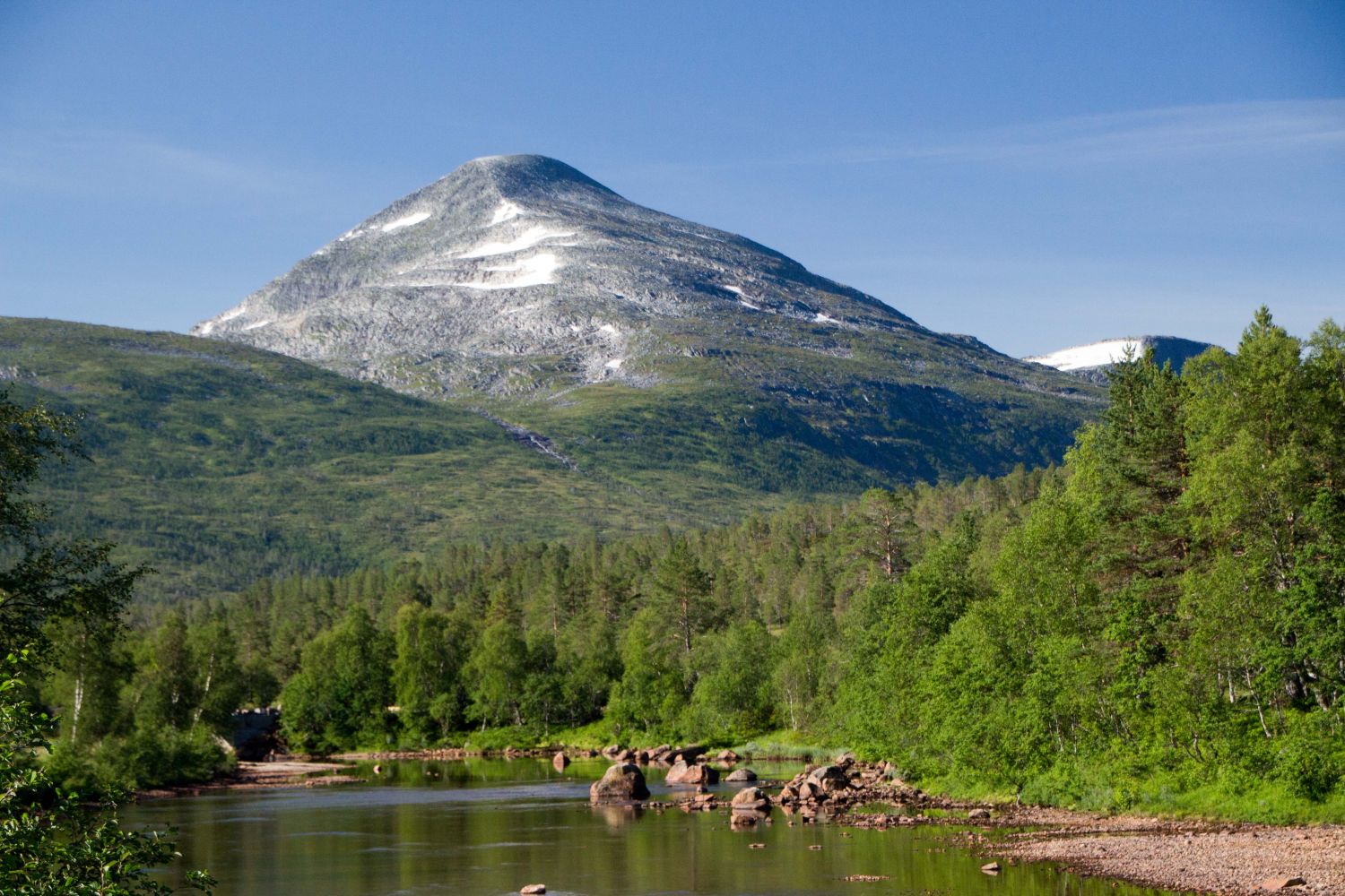
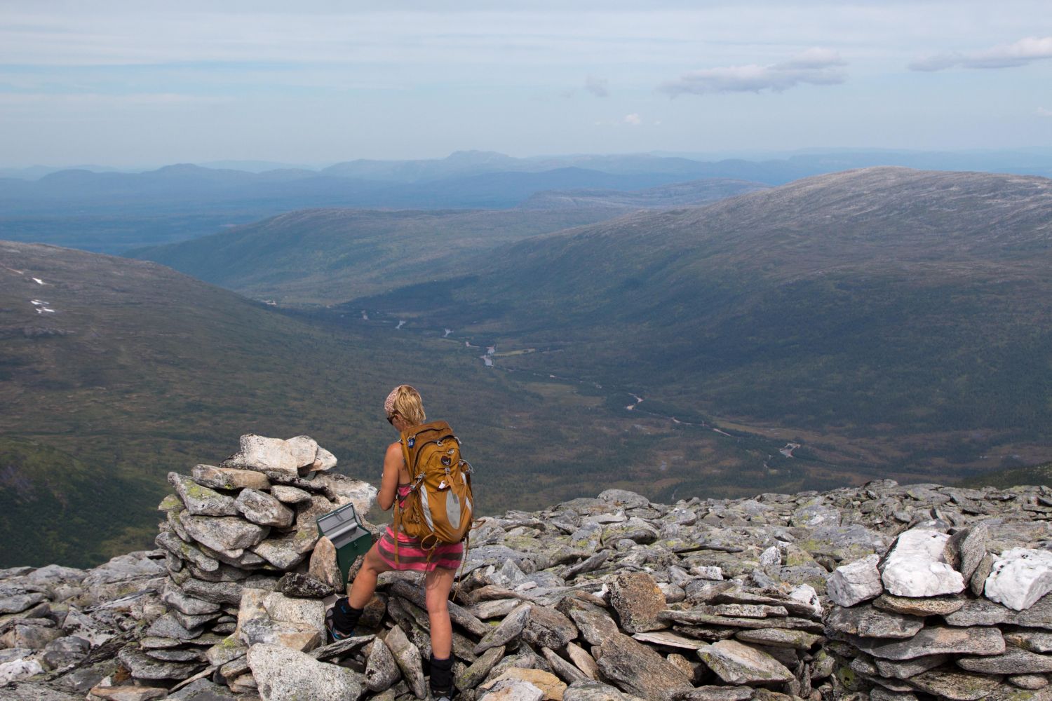
Once you enter the Vindøldalen Valley, the majestic Mount Fruhøtta (1435 m a.s.l.) in the horizon will catch your eye. Fruhøtta seen from the Vindøldalen Valley is fantastic, but standing on the top of this mountain and enjoying the view over the valley is even more impressive.There used to be a massive cairn at the mountaintop measuring over 2 metres high, but it was destroyed when Cyclone Dagmar raged across the region of Nordmøre.
Start by walking or cycling from the car park along the road that runs into the valley. After about 4.7 km, cross the river at the sign for Fruhøtta. There is no path here, so you need to follow the terrain towards the Eiterdalen Valley before you walk up along the northern side of Stygglifjellet. Once the terrain flattens out, cross the stream and start ascending to the top of Mount Fruhøtta. If you walk all the way to the edge, you will get a fantastic view of the Trollheimen mountain range as you climb further up.Follow the same route back.
Drive along FV65 between Surnadal and Rindal municipalities. Take the exit road that is signposted to Vindøldalen just to the west of Røv. Follow the toll road to Pebua for about 11 km. There is plenty of parking space there.