The trail to Mount Frostadtinden has a gradual ascent and no particularly difficult sections. It is suitable for both a fitness walk in the afternoon and a Sunday stroll with children.
Follow Storsætervegen Road from the car park by the boom gate in Storsætra. You can also drive along this section of the trail for a toll fee of NOK 40.
A well-maintained hiking path takes you from Høgsætra towards Lake Svartevatnet/Skålsvatnet which was the source of drinking water for the former Skodje Municipality. Once you ascend the first hillside and see the lake right in front of you, follow the ridge east until you reach the mountaintop Frostadtinden.
There is a public car park by the boom gate on Storsætervegen Road. Alternatively, you can pay a toll fee of NOK 40 and drive along the toll road up to the car park at the Høgsætra mountain farm. We recommend using the Vipps payment app or cash.
Duration
3 t. 55 min.

Sesong
Spring, Summer, Autumn
Signage
Both signed and marked
| Surface type |
Distance |
| Grus |
5 |
| Sti |
5 |
The car park by the boom gate in Storsætra is about 2 km away from Engsetdalsvegen Road. There are bus departures early in the morning and in the afternoon. It is therefore practically difficult to access the starting point of the trail by public transport.
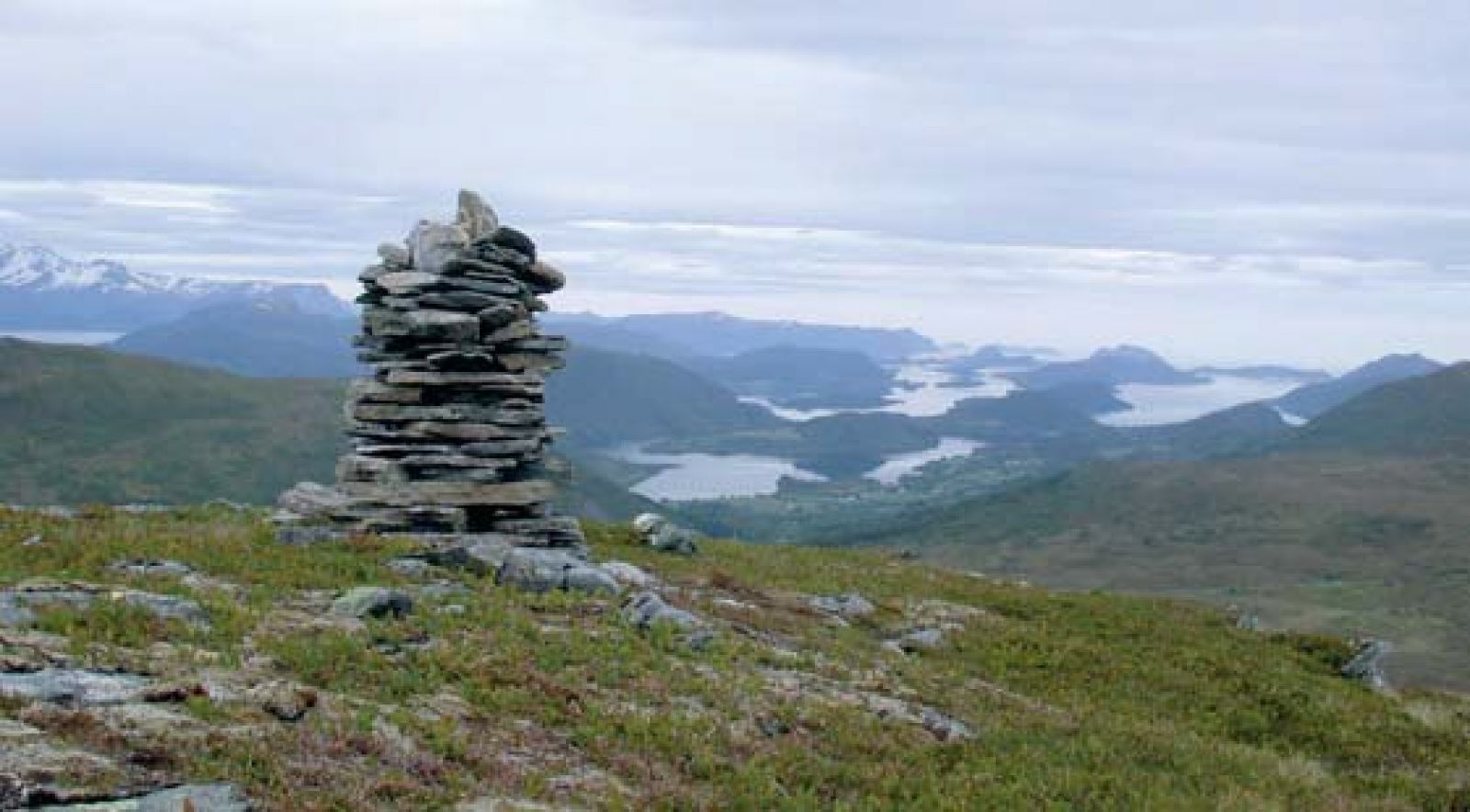
Frostadtinden, 807 m a.s.l., is the highest mountain of the former Skodje Municipality. The mountaintop itself is located about 500 m east of the cairn on the border of Vestnes Municipality.
 Driving directions
 Route data
GeoJSON
Route data
GeoJSON