Fremste Skorkja / Litlebotntinden from Hjellesetra
Ålesund
This long and very diverse hiking trail partly follows a path and involves crossing rivers, walking over marshes and moraine ridges, ploughing through an area of landslide debris and scree before finally reaching a large flat area with stone blocks where you can easily walk towards the highest peak. This is where you can truly enjoy a magnificent view of all the other mountain tops in Ørskog.
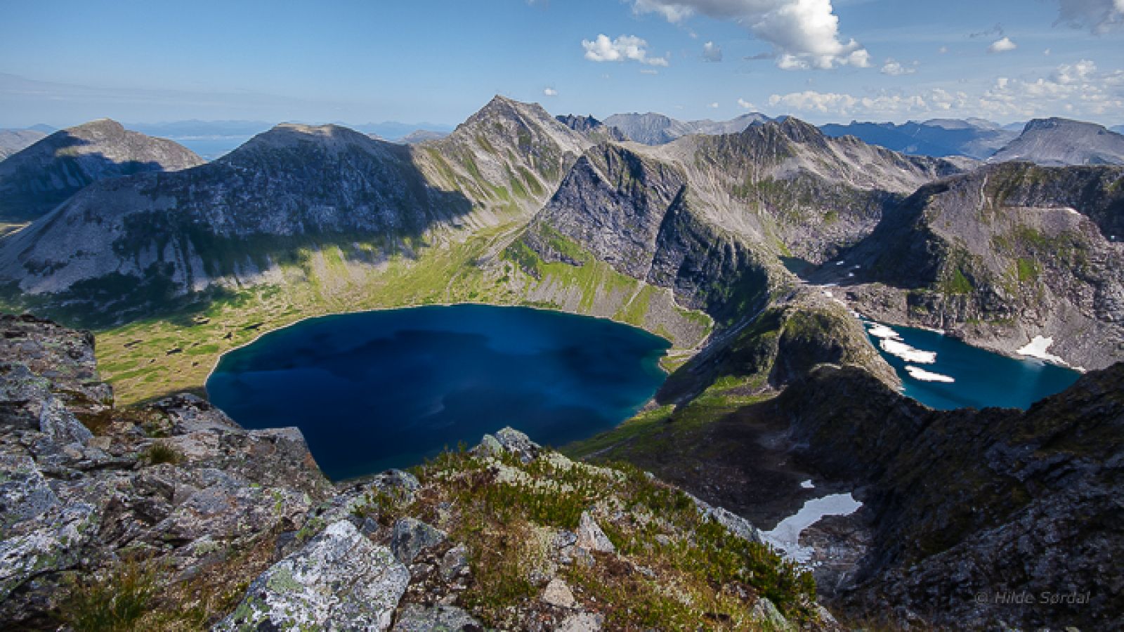
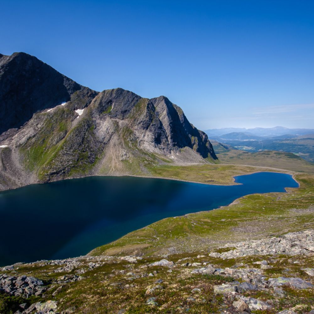
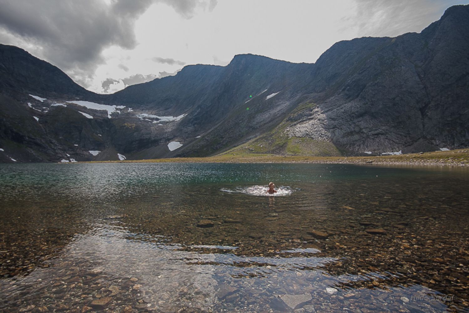
The trail starts in Hjellesetra. Follow the sticks that mark the trail eastwards until you turn off onto a path along the Litlebotnselva River and up to Lake Litlebotnsvatnet. Litlebotnsvatnet is a nice spot for a break before you continue following the path along the eastern side of the lake. The path drifts away from the lake, and you should not start climbing up until you have come halfway through the valley and seen a green area of landslide debris which is easy to climb up as you aim for the link between Fremste Skorkja and Sandegga. The path will eventually disappear as you come up the scree area, but it is not hard to walk here. When you reach the link between Fremste Skorkja and Sandegga, you will get a fantastic view of the mountains Storbotnshornet, Grytavasstinden, Svartvassegga, Lauparen, and Sunnmørslauparlægda. If you go all the way to the edge, you can look straight down to Lake Grytavatnet and the lakes of Trollbotnen and Isbotnen. The hardest part of the trail is now over, and you can just stroll about in the direction of the mountain top while enjoying a view northwest towards Vaksvika, Storfjorden, and the islands outside Ålesund. When you sit down at the cairn, you will see that Mount Sandegga in the south is blocking some of the view, but you will still catch enough of a view to enjoy in this most spectacular area of the former Ørskog Municipality. Fremste Skorkja is after all the highest peak in the former Ørskog Municipality that is not located on a border with the neighbouring municipalities! If you want to challenge yourself with more climbing, instead of first walking along the lake and following the route described here, you can aim for the top of the mountain immediately after you get to the lake.
Turn left from National Road 650 (RV650) just after the road takes a sharp turn over the river in Vaksvika. Follow the road until you pass a large barn on your left. You will come across a toll road. Drive further past Visetsetra and continue until you reach the end of the road in Hjellesetra. There are several parking spaces here. Park your car in Hjellesetra and follow the signposts.
Distance
13,4 km both ways
Duration
5 t. 50 min.

Signage
Both signed and marked
| Surface type |
Distance |
| Sti |
13,4 |
The snow can remain in the area until late July.
 Driving directions
 Route data
GeoJSON
Route data
GeoJSON